MyTopo
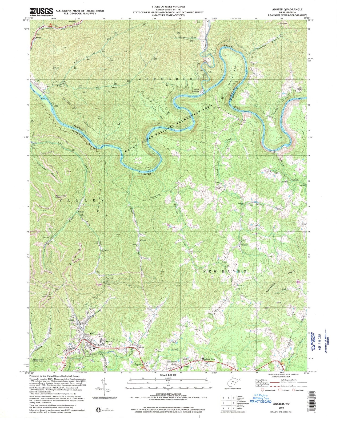
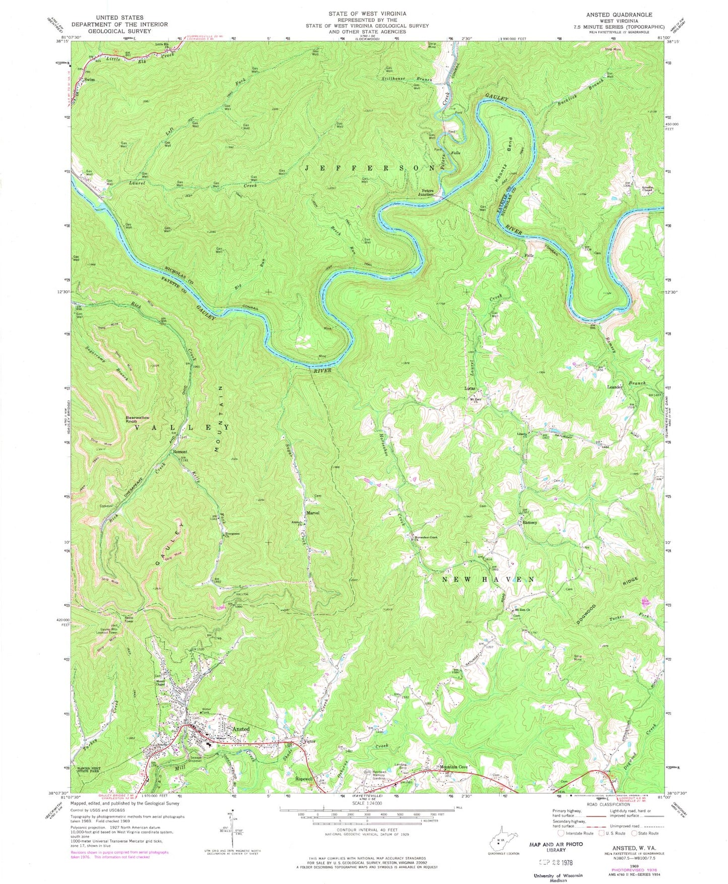
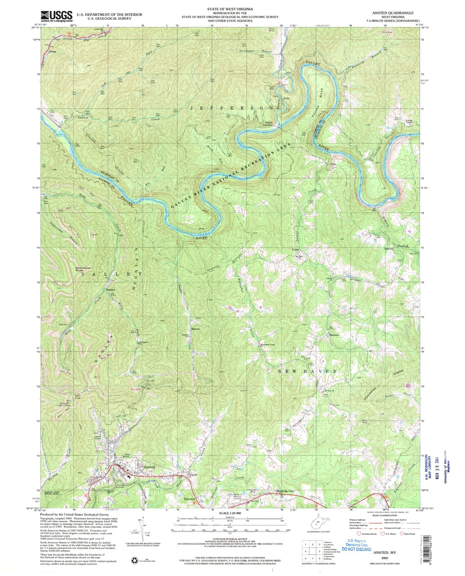
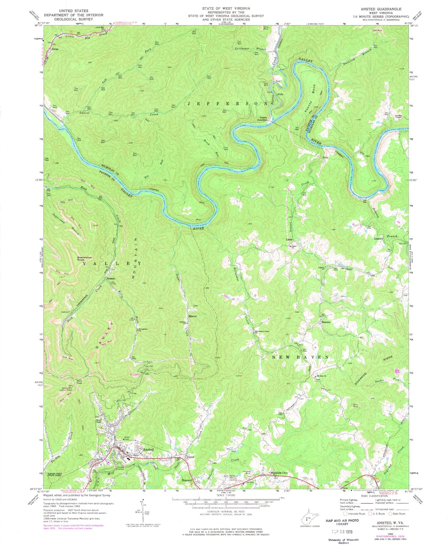
Classic USGS Ansted West Virginia 7.5'x7.5' Topo Map
Couldn't load pickup availability
Historical USGS topographic quad map of Ansted in the state of West Virginia. Typical map scale is 1:24,000, but may vary for certain years, if available. Print size: 24" x 27"
This quadrangle is in the following counties: Fayette, Nicholas.
The map contains contour lines, roads, rivers, towns, and lakes. Printed on high-quality waterproof paper with UV fade-resistant inks, and shipped rolled.
Contains the following named places: Ansted, Antioch Church, Arnette Chapel, Beacon Church, Beech Run, Big Run, Bucklick Branch, Coal Hollow, Evergreen Church, Gauley Mountain, Hopewell, Horseshoe Creek, Horseshoe Creek Church, Kelly Fork, Koontz Bend, Laurel Creek, Laurel Creek, Left Fork Laurel Creek, Liberty Church, Little Elk Church, Mount Chapel, Mount Eary Church, Mount Zion Church, Mountain Cove, Peters Creek, Ramsey Branch, Restlawn Memory Gardens, Shade Creek, Stillhouse Branch, Sugar Creek, Sugarcamp Branch, Romont, Bearwallow Knob, Leander, Lucas, Marvel, Peters Junction, Ramsey, Victor, Ansted Elementary School, Ansted Middle School, Beech Run School (historical), Clendenin School (historical), Deitz (historical), Dogwood Gap School (historical), Gwinn School (historical), Minter School (historical), Mulvane (historical), Romont School (historical), Shade Creek School (historical), Woods Ferry (historical), Gauley Mountain Lookout Tower, Lee Massey Airport, Albion (historical), Bucklick School (historical), Gauley River National Recreation Area, Pine Grove School (historical), Swiss Missionary Baptist Church, Koontz Flume Rapids, Lower Mash Rapids, Upper Mash Rapids, Heaven Help You Rapids, Pure Screaming Hell Rapids, Town of Ansted, Westlake Cemetery, Ansted Volunteer Fire Department, Jan - Care Ambulance Service Ansted, Mount Chapel Cemetery, Sugar Creek Cemetery, Ansted Public Library, Ansted Police Department, Victor Post Office, Ansted Post Office, Priority Ambulance Service


