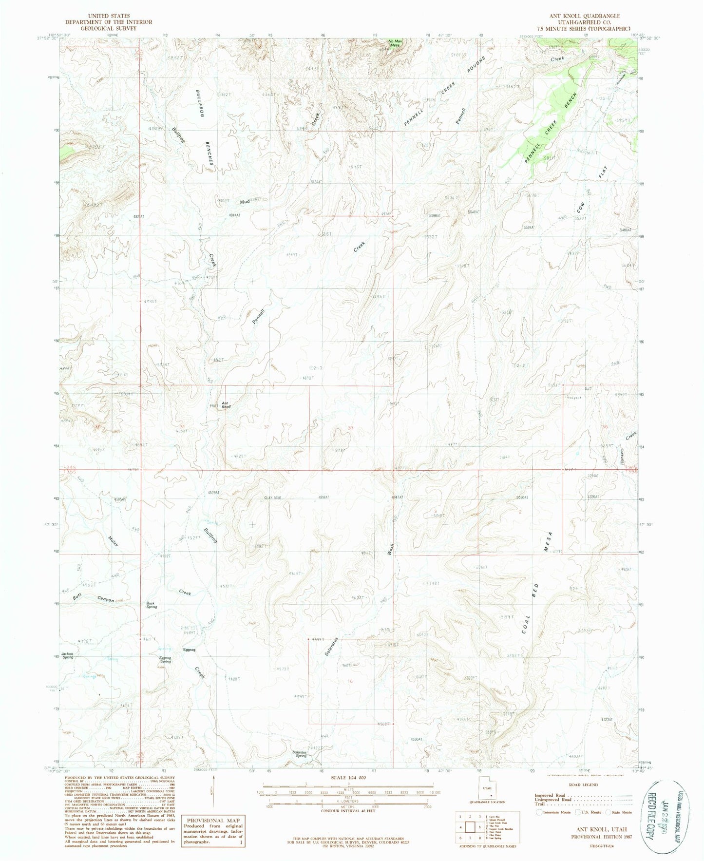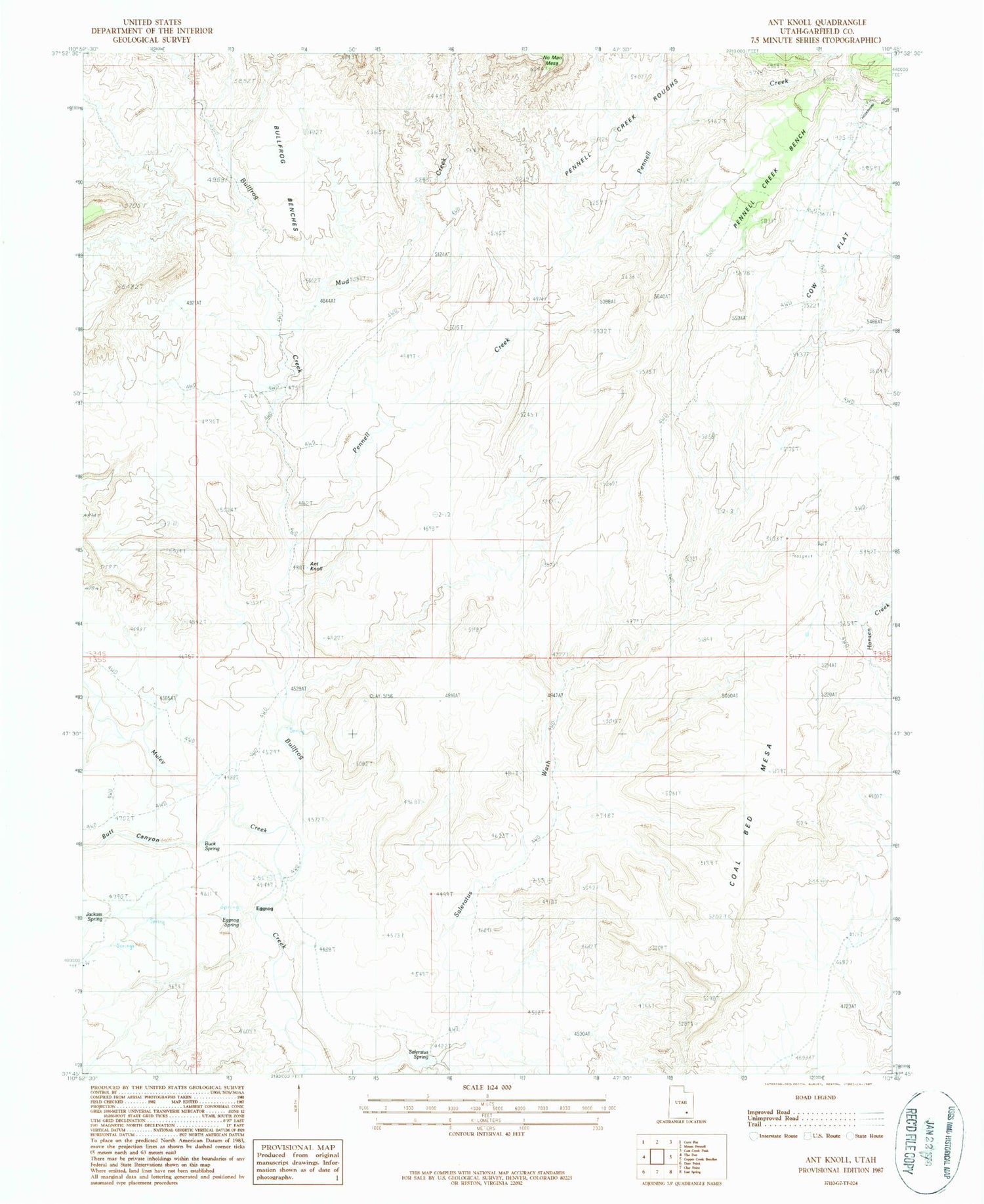
MyTopo
Classic USGS Ant Knoll Utah 7.5'x7.5' Topo Map
Regular price
$16.95
Regular price
Sale price
$16.95
Unit price
per
Couldn't load pickup availability
Historical USGS topographic quad map of Ant Knoll in the state of Utah. Map scale may vary for some years, but is generally around 1:24,000. Print size is approximately 24" x 27"
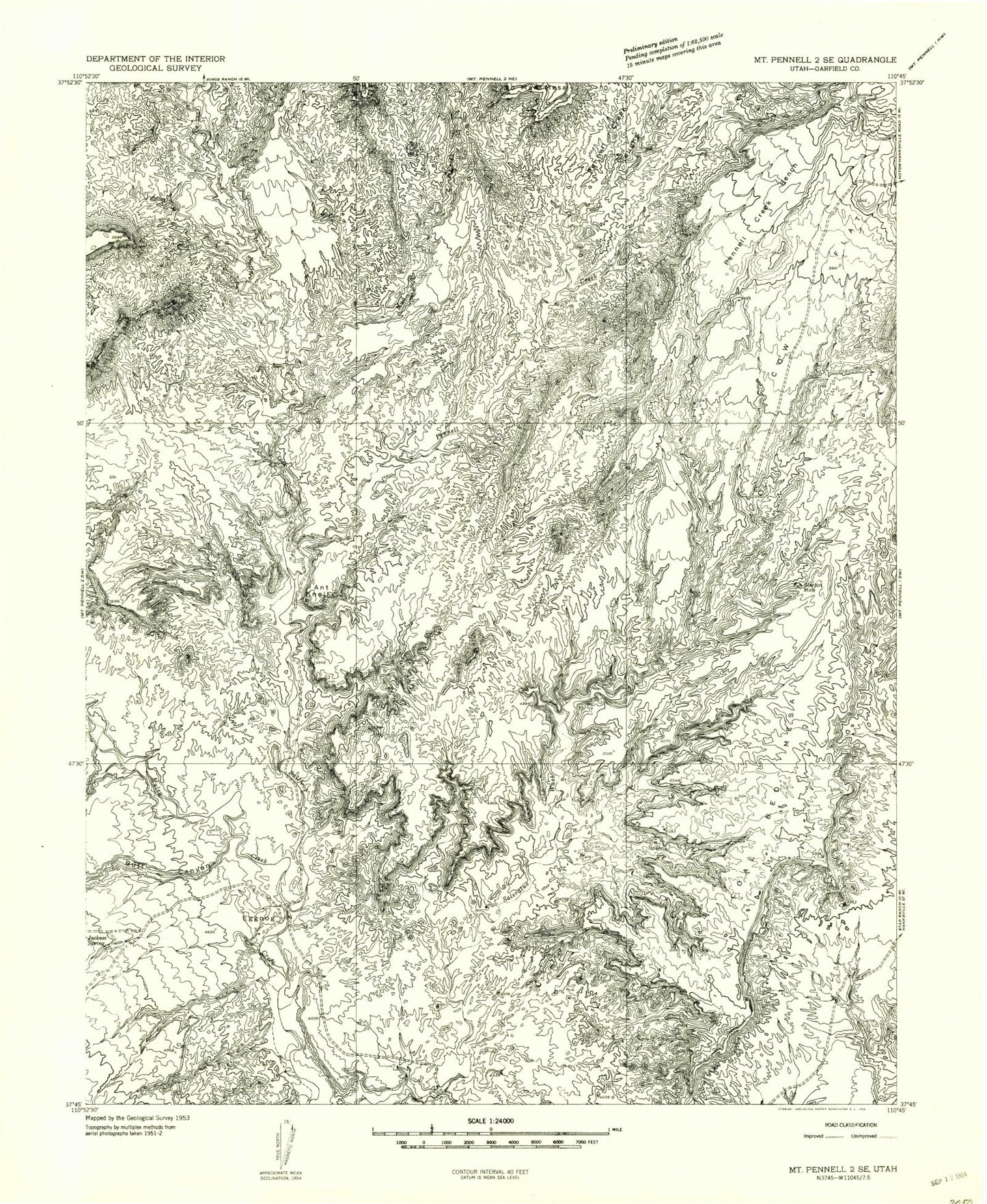
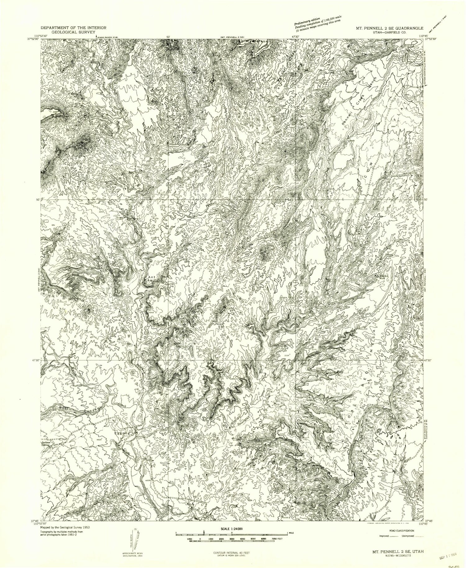
This quadrangle is in the following counties: Garfield.
The map contains contour lines, roads, rivers, towns, and lakes. Printed on high-quality waterproof paper with UV fade-resistant inks, and shipped rolled.
Contains the following named places: Ant Knoll, Butt Canyon, Coal Bed Mesa, Cow Flat, Eggnog, Jackass Spring, Mud Creek, Muley Creek, Pennell Creek, Pennell Creek Bench, Stanton Mine