MyTopo
Classic USGS Antelope Butte Oregon 7.5'x7.5' Topo Map
Regular price
$16.95
Regular price
Sale price
$16.95
Unit price
per
Couldn't load pickup availability
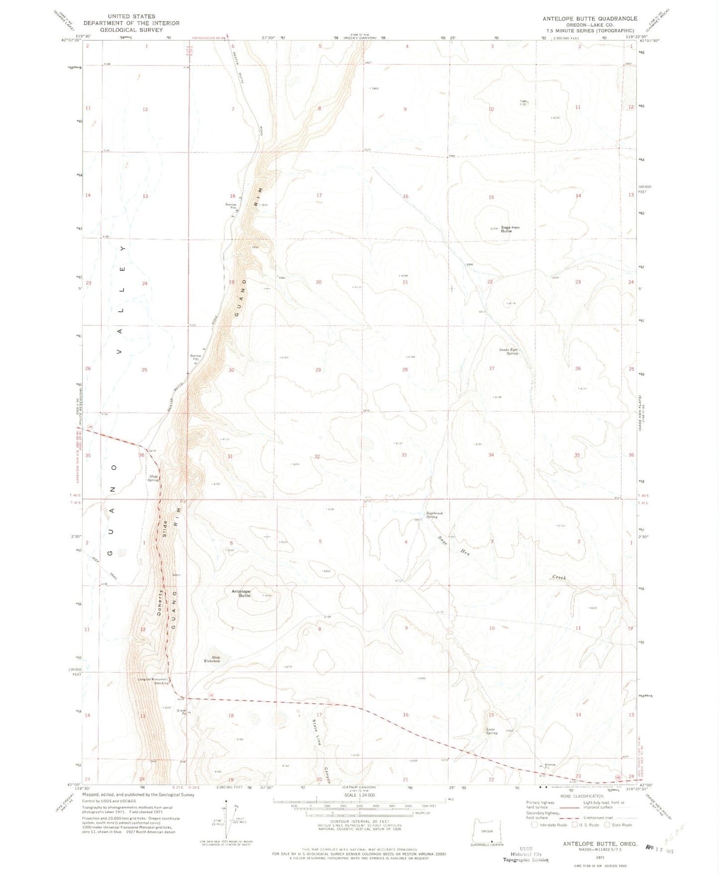
Historical USGS topographic quad map of Antelope Butte in the state of Oregon. Map scale may vary for some years, but is generally around 1:24,000. Print size is approximately 24" x 27"
This quadrangle is in the following counties: Lake.
The map contains contour lines, roads, rivers, towns, and lakes. Printed on high-quality waterproof paper with UV fade-resistant inks, and shipped rolled.
Contains the following named places: Antelope Butte, Doherty Slide, Guano Rim, Lane Spring, Langslet Monument Rest Area, Sage Butte, Sage Hen Butte, Sagebrush Spring, Slide Spring, Slide Waterhole, Snake Eyes Spring, State Line Canyon