MyTopo
Classic USGS Antelope Flats Wyoming 7.5'x7.5' Topo Map
Regular price
$16.95
Regular price
Sale price
$16.95
Unit price
per
Couldn't load pickup availability
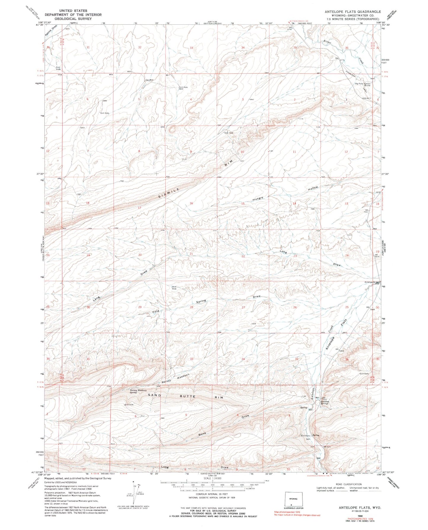
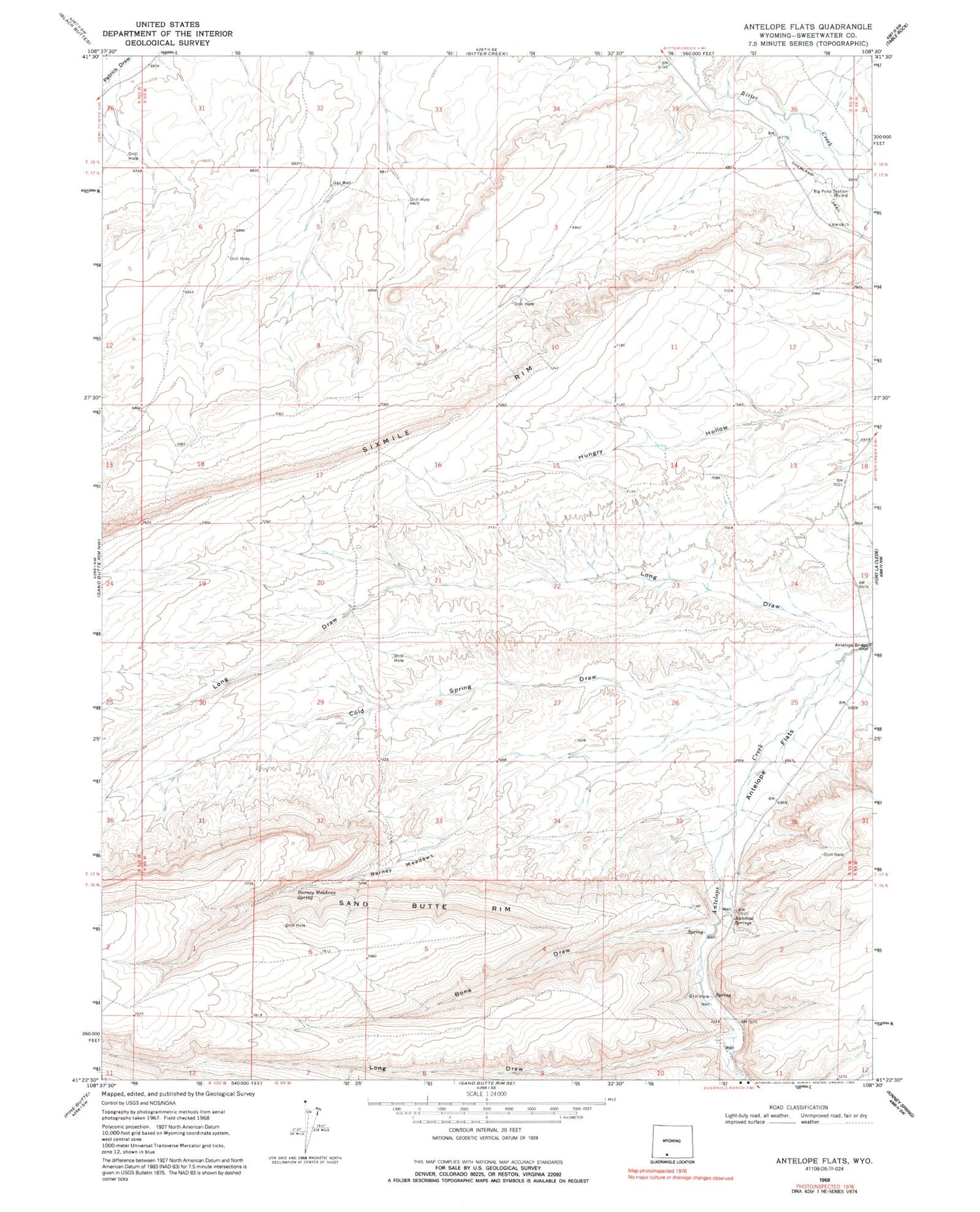
Historical USGS topographic quad map of Antelope Flats in the state of Wyoming. Map scale may vary for some years, but is generally around 1:24,000. Print size is approximately 24" x 27"
This quadrangle is in the following counties: Sweetwater.
The map contains contour lines, roads, rivers, towns, and lakes. Printed on high-quality waterproof paper with UV fade-resistant inks, and shipped rolled.
Contains the following named places: Antelope Bridge, Antelope Flats, Antelope Springs, Barney Meadows, Barney Meadows Spring, Big Pond Station, Bone Draw, Cold Spring Draw, Long Draw, Sixmile Rim