
MyTopo
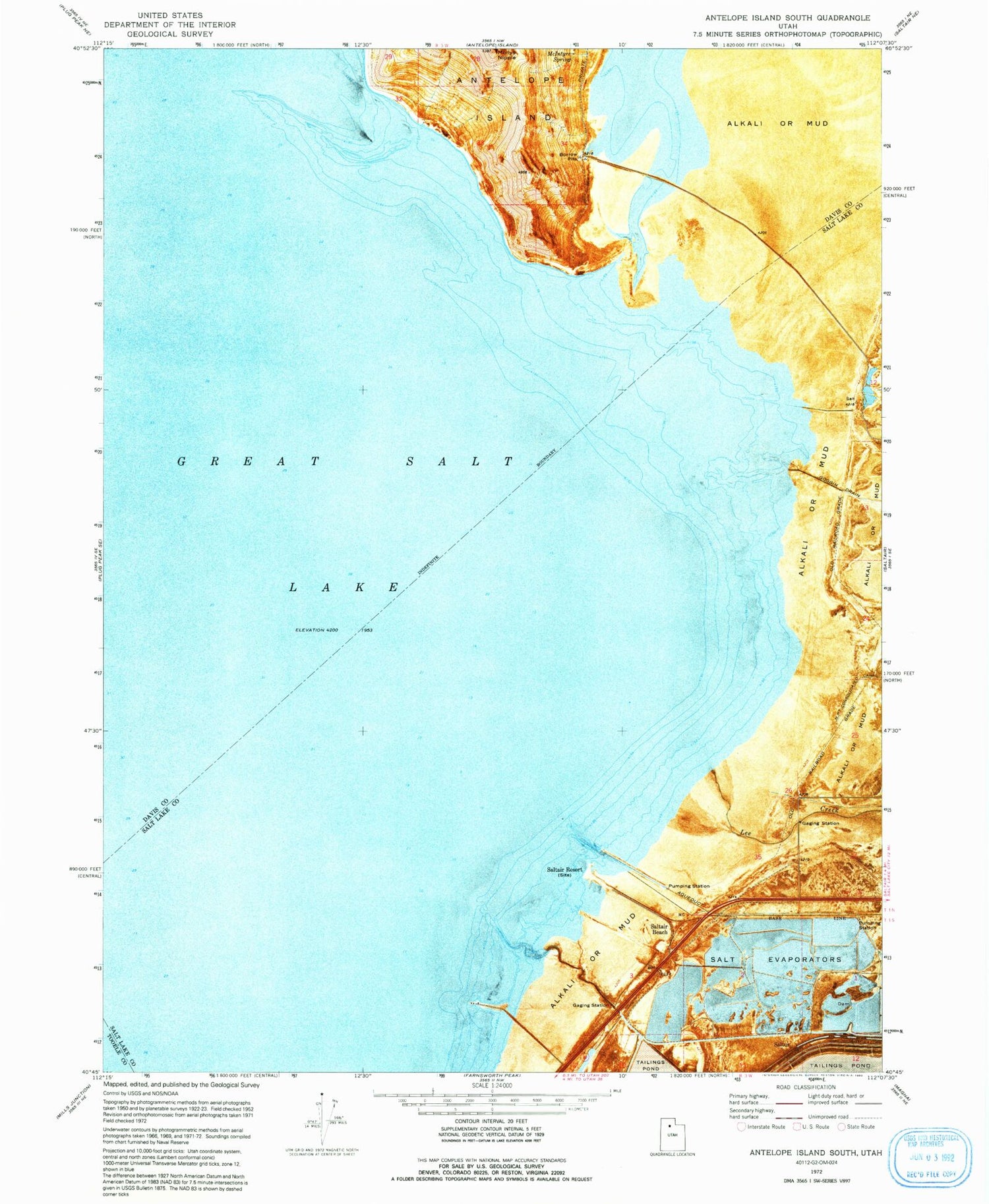
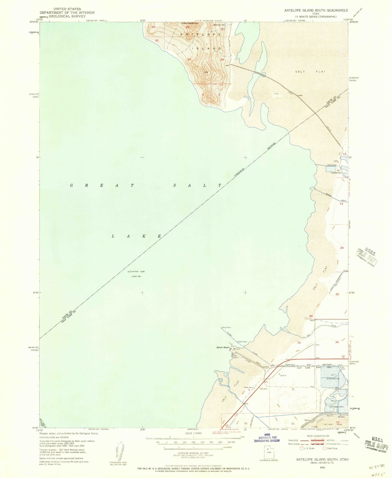
Classic USGS Antelope Island South Utah 7.5'x7.5' Topo Map
Regular price
$16.95
Regular price
Sale price
$16.95
Unit price
per
Couldn't load pickup availability
Historical USGS topographic quad map of Antelope Island South in the state of Utah. Map scale may vary for some years, but is generally around 1:24,000. Print size is approximately 24" x 27"
This quadrangle is in the following counties: Davis, Salt Lake, Tooele.
The map contains contour lines, roads, rivers, towns, and lakes. Printed on high-quality waterproof paper with UV fade-resistant inks, and shipped rolled.
Contains the following named places: Antelope Island Bar, Garr Knolls, Great Salt Lake State Park - Saltair Beach, Indian Bay, Lee Creek, McIntyre Spring, Metro Township of Magna, Miera Spit, Mollys Nipple, Saltair Beach, Saltair Resort, Unicorn Point


