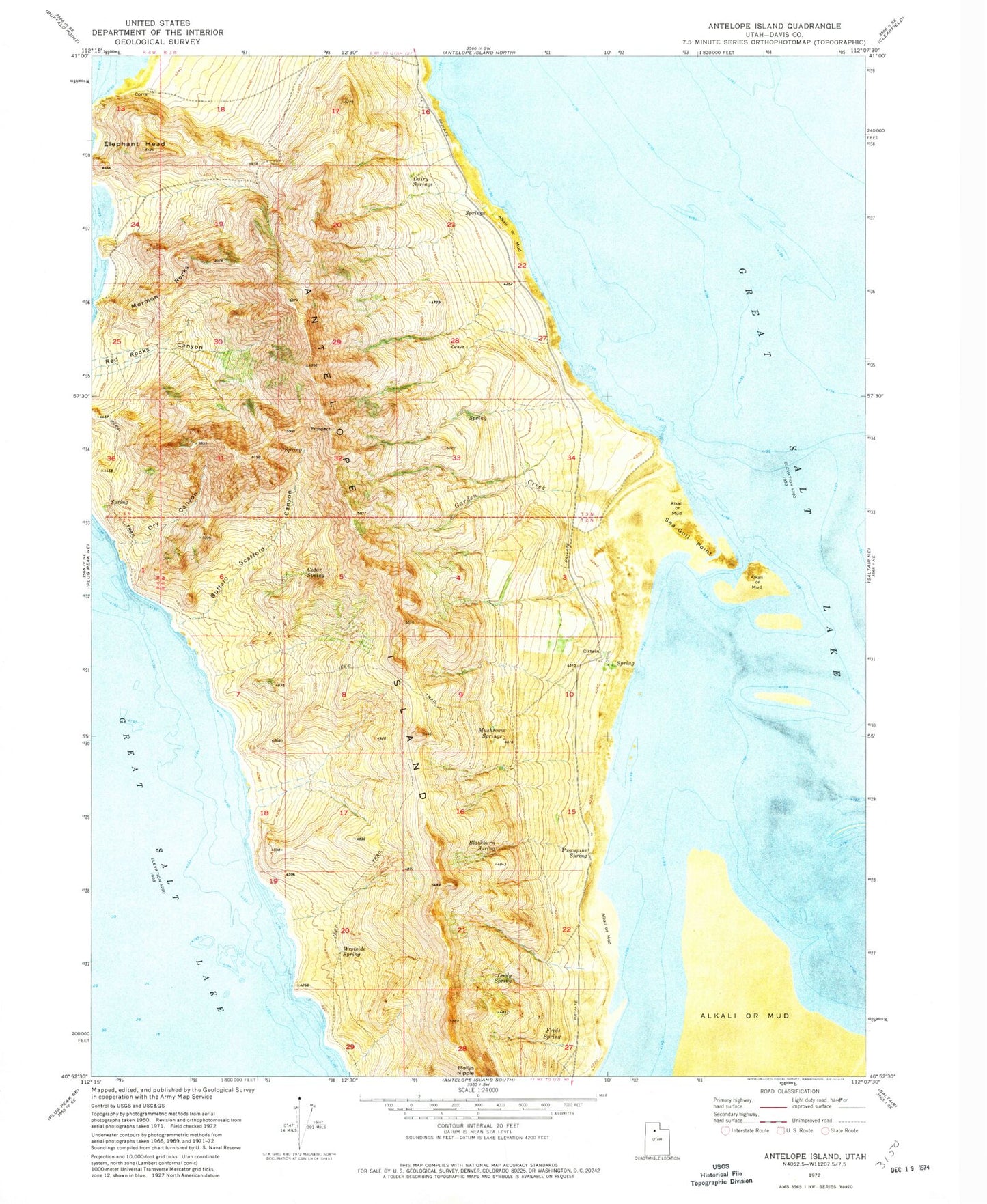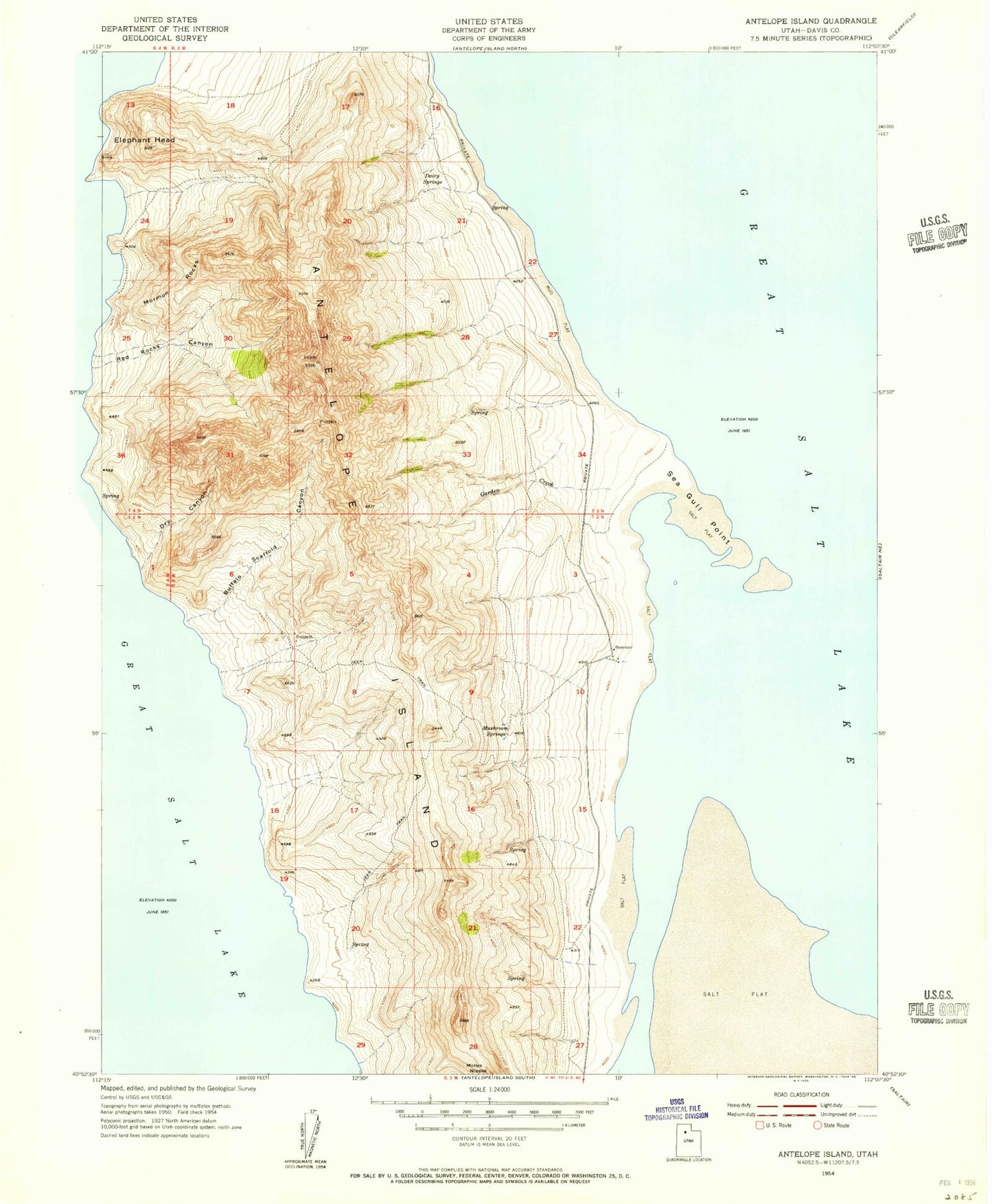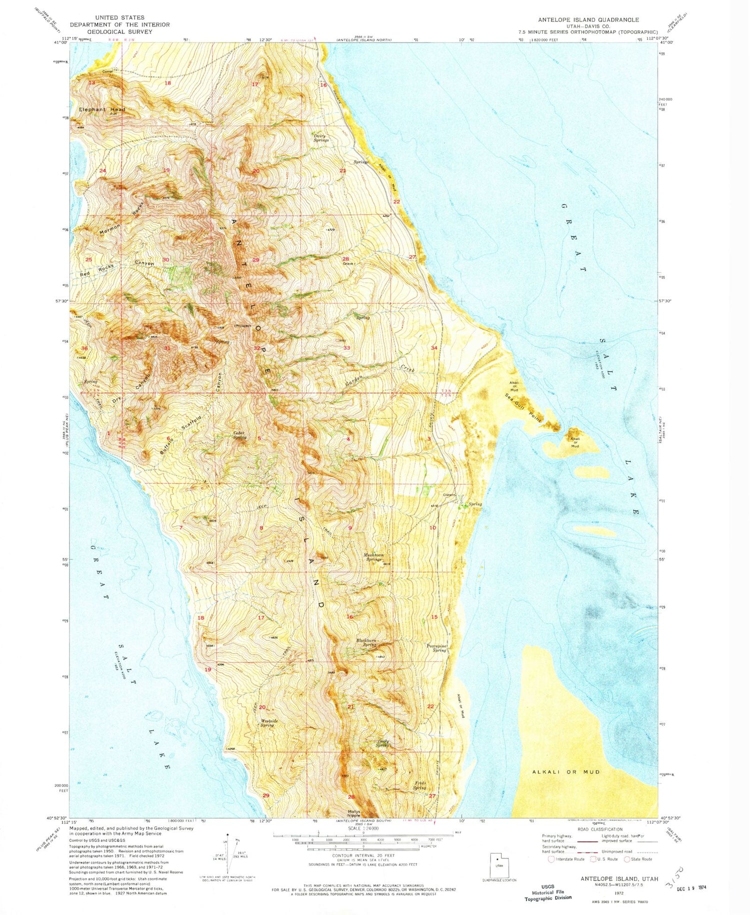

MyTopo
Classic USGS Antelope Island Utah 7.5'x7.5' Topo Map
Couldn't load pickup availability
Historical USGS topographic quad map of Antelope Island in the state of Utah. Typical map scale is 1:24,000, but may vary for certain years, if available. Print size: 24" x 27"
This quadrangle is in the following counties: Davis.
The map contains contour lines, roads, rivers, towns, and lakes. Printed on high-quality waterproof paper with UV fade-resistant inks, and shipped rolled.
Contains the following named places: Antelope Island, Blackburn Spring, Buffalo Scaffold Canyon, Cedar Spring, Dairy Springs, Dooly Spring, Dry Canyon, Elephant Head, Freds Spring, Garden Creek, Mormon Rocks, Mushroom Springs, Porcupine Spring, Sea Gull Point, Westside Spring, Frary Peak, Split Rock Bay, Bamberger Hill, Daddy Stump Ridge, Dooly Knob, Red Rocks, The Sentry, Timely Gull Ridge, Stringham Peak, Picture Rock, Frary Grave Site