MyTopo
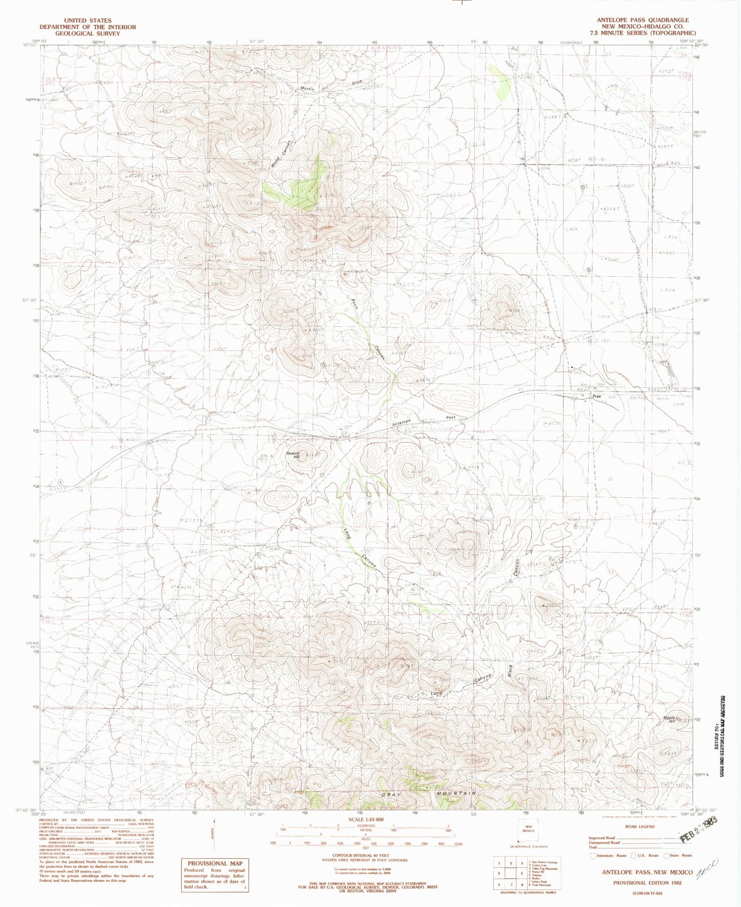
Classic USGS Antelope Pass New Mexico 7.5'x7.5' Topo Map
Couldn't load pickup availability
Historical USGS topographic quad map of Antelope Pass in the state of New Mexico. Map scale may vary for some years, but is generally around 1:24,000. Print size is approximately 24" x 27"
This quadrangle is in the following counties: Hidalgo.
The map contains contour lines, roads, rivers, towns, and lakes. Printed on high-quality waterproof paper with UV fade-resistant inks, and shipped rolled.
Contains the following named places: 01635 Water Well, 10132 Water Well, 10136 Water Well, Amy K, Antelope Pass, Basin Canyon, Beacon hill, Black Canyon, Grey Mountain, Henderson Ranch, Kukendall Prop., Long Canyon, Nipple Hill, Pratt, Pratt Fire Clay Quarry, Pratt Post Office, Purple Spar Prospect, Robinson Ranch, Rodeo Intermediate Field, Spencer Ranch