MyTopo
Classic USGS Antelope Reservoir Oregon 7.5'x7.5' Topo Map
Regular price
$16.95
Regular price
Sale price
$16.95
Unit price
per
Couldn't load pickup availability
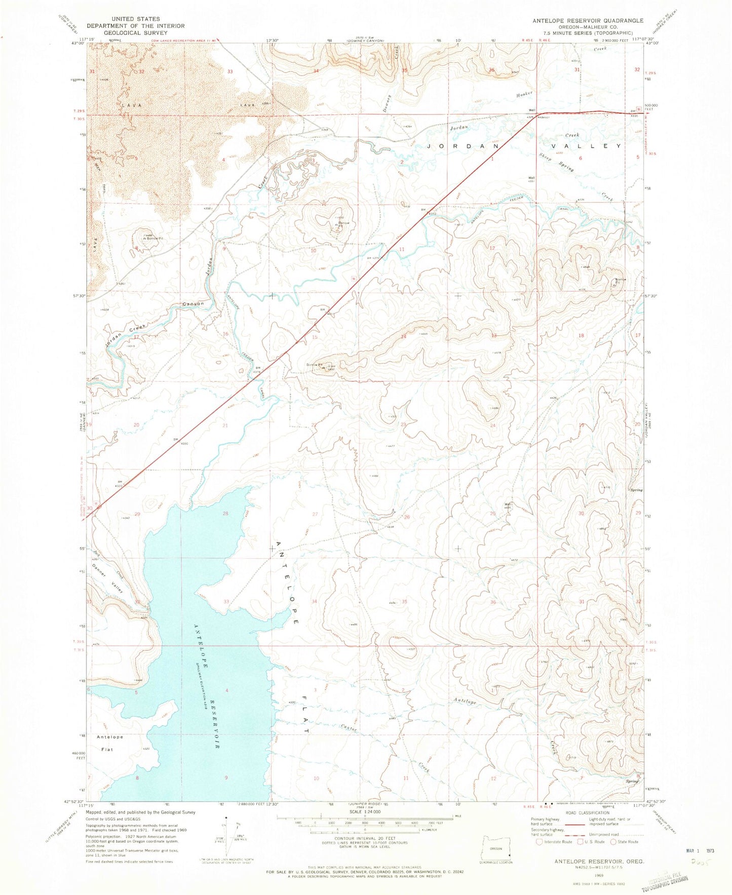
Historical USGS topographic quad map of Antelope Reservoir in the state of Oregon. Map scale may vary for some years, but is generally around 1:24,000. Print size is approximately 24" x 27"
This quadrangle is in the following counties: Malheur.
The map contains contour lines, roads, rivers, towns, and lakes. Printed on high-quality waterproof paper with UV fade-resistant inks, and shipped rolled.
Contains the following named places: Antelope Creek, Antelope Dam, Antelope Feeder Canal, Antelope Flat, Antelope Reservoir, Antelope Reservoir Boat Launch, Cantor Creek, Downey Creek, Hooker Creek, Jordan Valley, Sharp Ditch, Sheep Spring Creek, Urlezaga Ditch