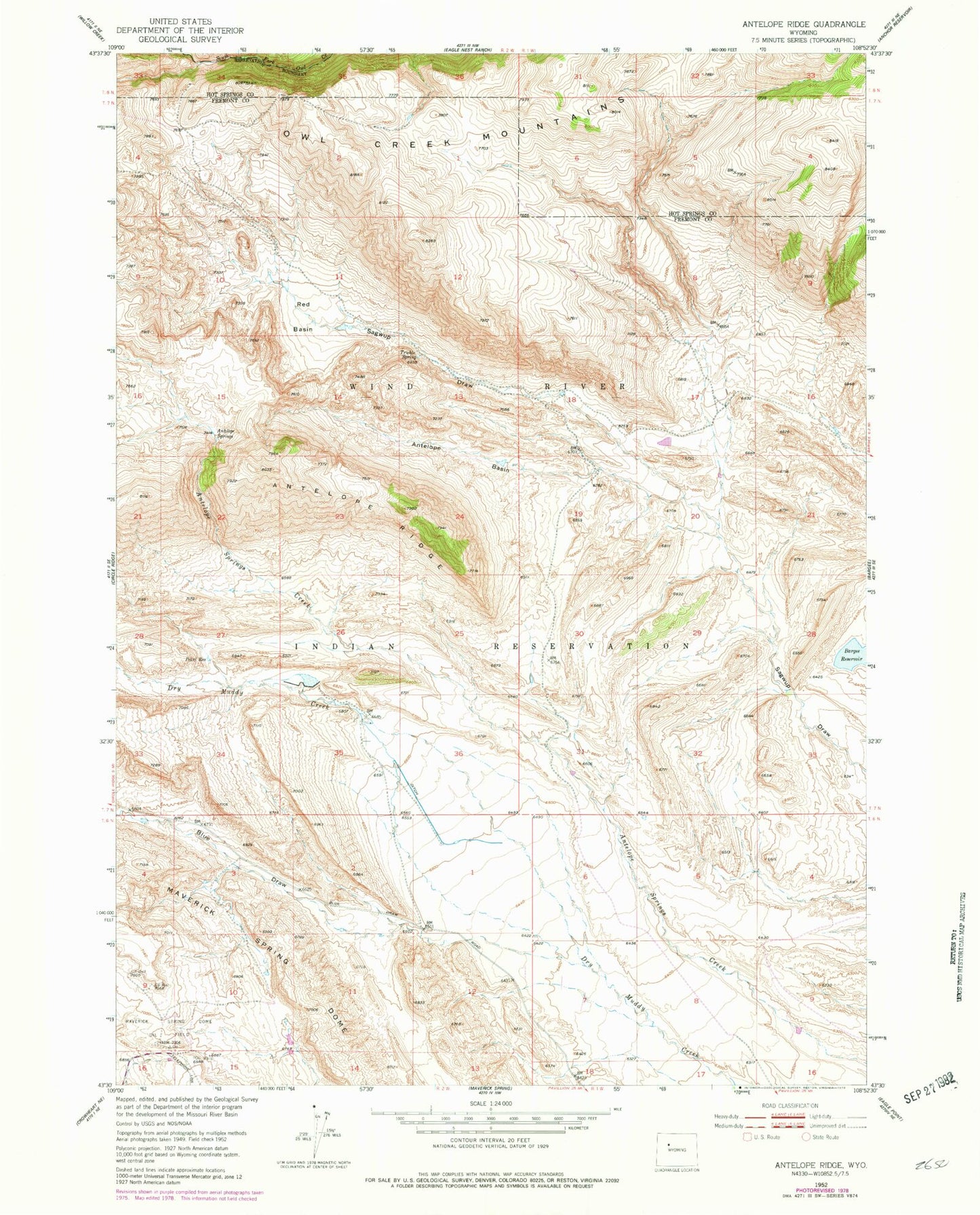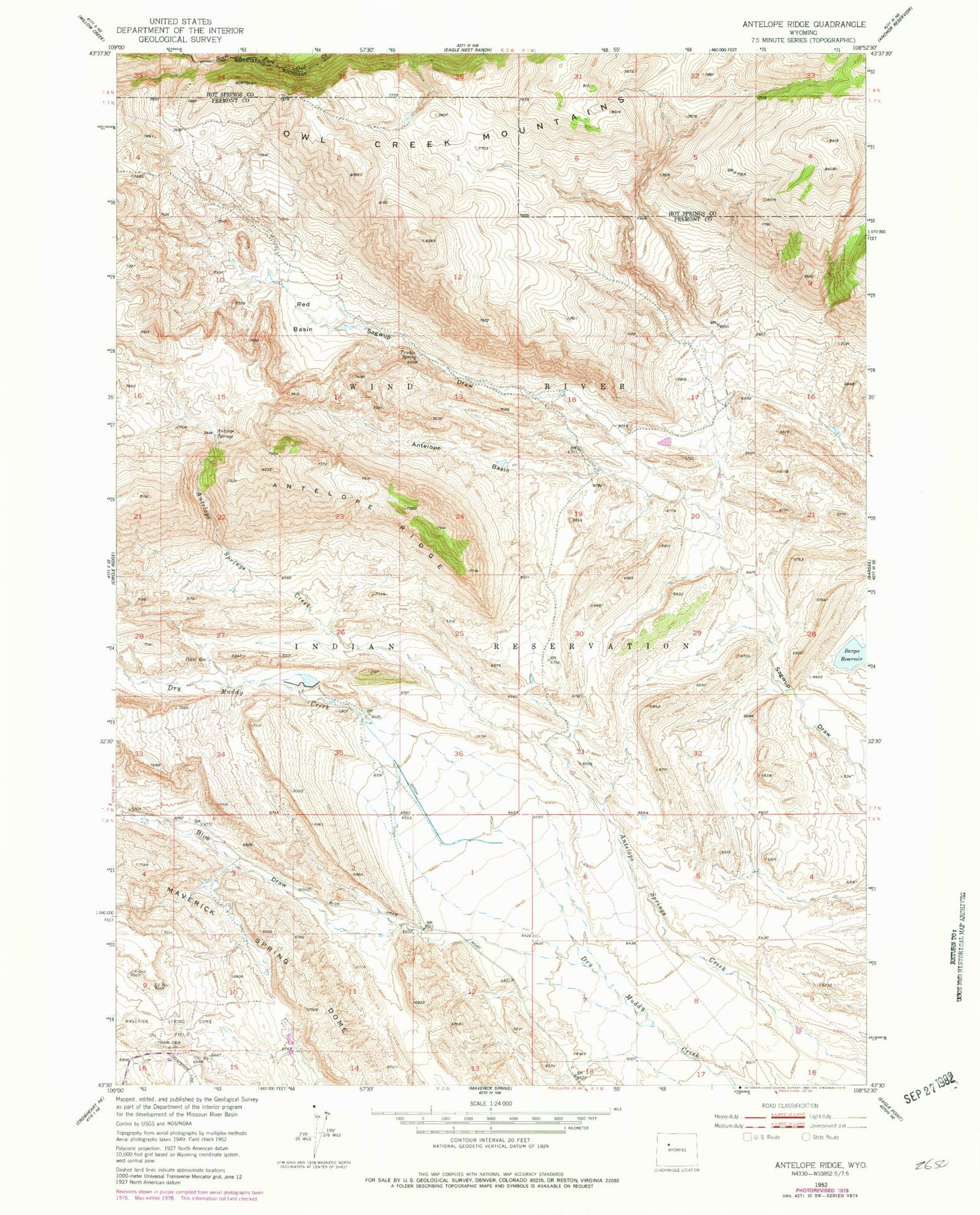
MyTopo
Classic USGS Antelope Ridge Wyoming 7.5'x7.5' Topo Map
Couldn't load pickup availability
Historical USGS topographic quad map of Antelope Ridge in the state of Wyoming. Map scale may vary for some years, but is generally around 1:24,000. Print size is approximately 24" x 27"
This quadrangle is in the following counties: Fremont, Hot Springs.
The map contains contour lines, roads, rivers, towns, and lakes. Printed on high-quality waterproof paper with UV fade-resistant inks, and shipped rolled.
Contains the following named places: Antelope Basin, Antelope Ridge, Antelope Ridge Area Number One Mine, Antelope Ridge Area Number Three Mine, Antelope Ridge Area Number Two Mine, Antelope Springs, Bargee Reservoir, Blue Draw, Circle Ridge Anticline Number Four Mine, Debatable Reservoir, Enlargement Pearl Dam, Enlargement Pearl Reservoir, Pearl Reservoir, Red Basin, Trickle Spring