MyTopo
Classic USGS Antelope Sink New Mexico 7.5'x7.5' Topo Map
Regular price
$16.95
Regular price
Sale price
$16.95
Unit price
per
Couldn't load pickup availability
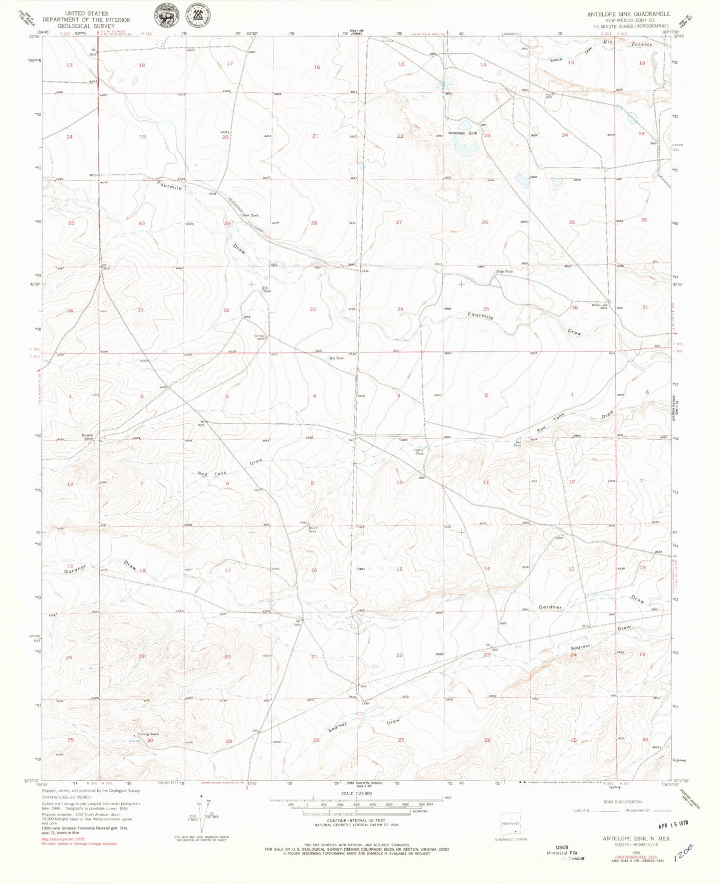
Historical USGS topographic quad map of Antelope Sink in the state of New Mexico. Map scale may vary for some years, but is generally around 1:24,000. Print size is approximately 24" x 27"
This quadrangle is in the following counties: Eddy.
The map contains contour lines, roads, rivers, towns, and lakes. Printed on high-quality waterproof paper with UV fade-resistant inks, and shipped rolled.
Contains the following named places: 10108 Water Well, 10147 Water Well, Antelope Sink, Big Tank, Bunting Ranch, Catclaw Draw, Coffin Tank, Hilt Tank, Hilt Well, Miller Tank, RA-7804 Water Well, Red Tank, Ridge Tank, Rock Tank, Runyan Ranch, Walnut Draw, Williams Well