MyTopo
Classic USGS Antelope Texas 7.5'x7.5' Topo Map
Couldn't load pickup availability
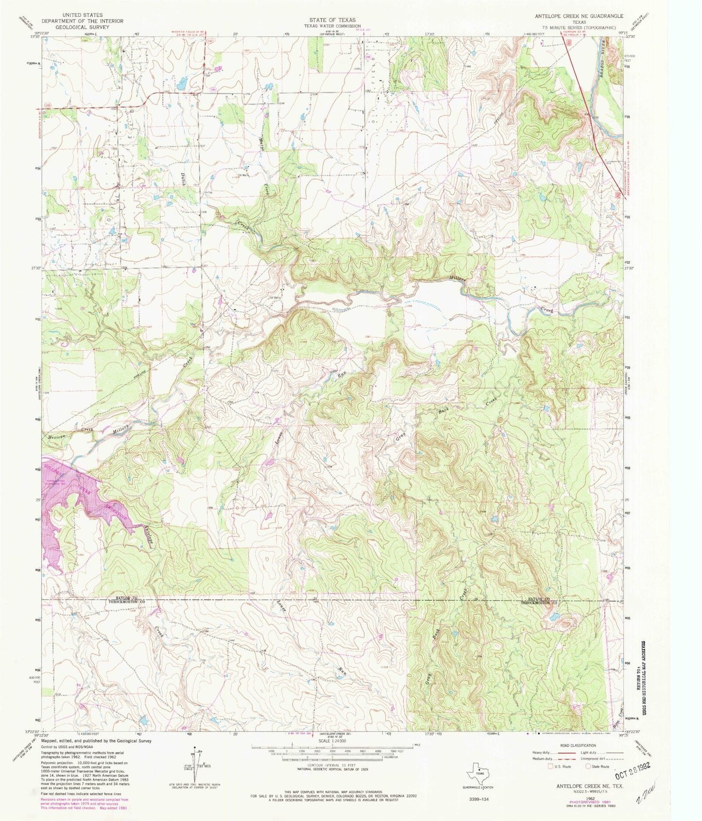
Historical USGS topographic quad map of Antelope in the state of Texas. Map scale may vary for some years, but is generally around 1:24,000. Print size is approximately 24" x 27"
This quadrangle is in the following counties: Clay, Jack.
The map contains contour lines, roads, rivers, towns, and lakes. Printed on high-quality waterproof paper with UV fade-resistant inks, and shipped rolled.
Contains the following named places: Antelope, Antelope Cemetery, Antelope Volunteer Fire Department, Backbone Mountain, Cameron Creek, Ellenburg Lake, Ellenburg Lake Dam, Flat Creek, Hoefle Oil Field, Lodge Creek, Mount Lebo, Oakland, Roberts Prairie Branch, Shannon, Shannon Cemetery, Smith Lake, Smith Lake Dam, Willow Creek