MyTopo
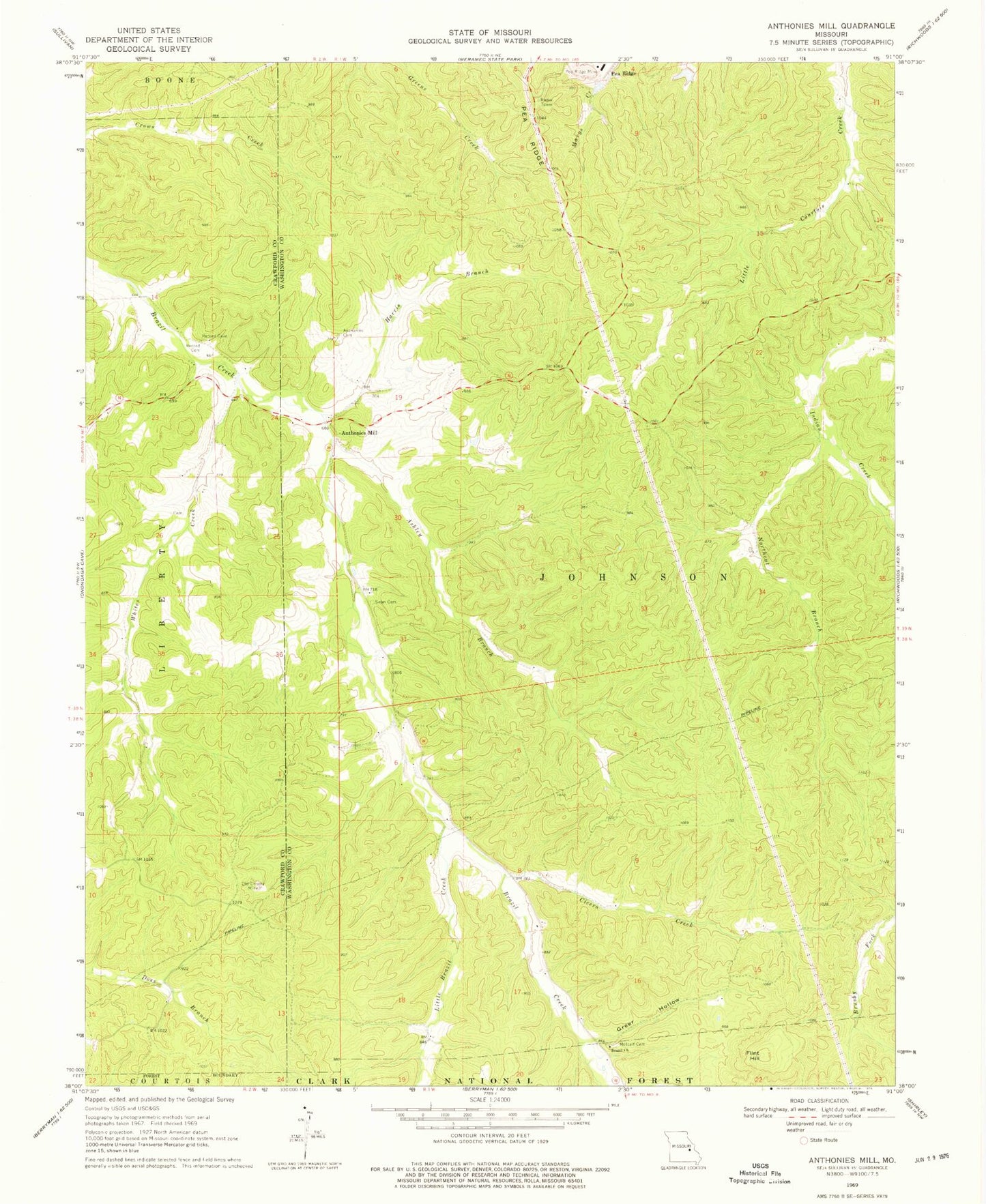
Classic USGS Anthonies Mill Missouri 7.5'x7.5' Topo Map
Couldn't load pickup availability
Historical USGS topographic quad map of Anthonies Mill in the state of Missouri. Map scale may vary for some years, but is generally around 1:24,000. Print size is approximately 24" x 27"
This quadrangle is in the following counties: Crawford, Washington.
The map contains contour lines, roads, rivers, towns, and lakes. Printed on high-quality waterproof paper with UV fade-resistant inks, and shipped rolled.
Contains the following named places: Anthonies Mill, Anthonies Mill Cemetery, Ashley Branch, Brazil Church, Cavernville School, Cicero Creek, Dellistri Dam, Dellistri Lake, Flint Hill, Grant Spring, Greer Hollow, Harris Branch, Hematite Lake Dam, Little Brazil Creek, Metcalf Cemetery, Metcalf School, Northcut Branch, Oak Hill School, Old Christy Mine, Pea Ridge Incorporated Lake Dam, Pleasant Valley School, Record Cemetery, Sullivan Fire Protection District Station 2, Swan Cemetery, Township of Johnson, Weins Lead Diggings, Whites Creek


