MyTopo
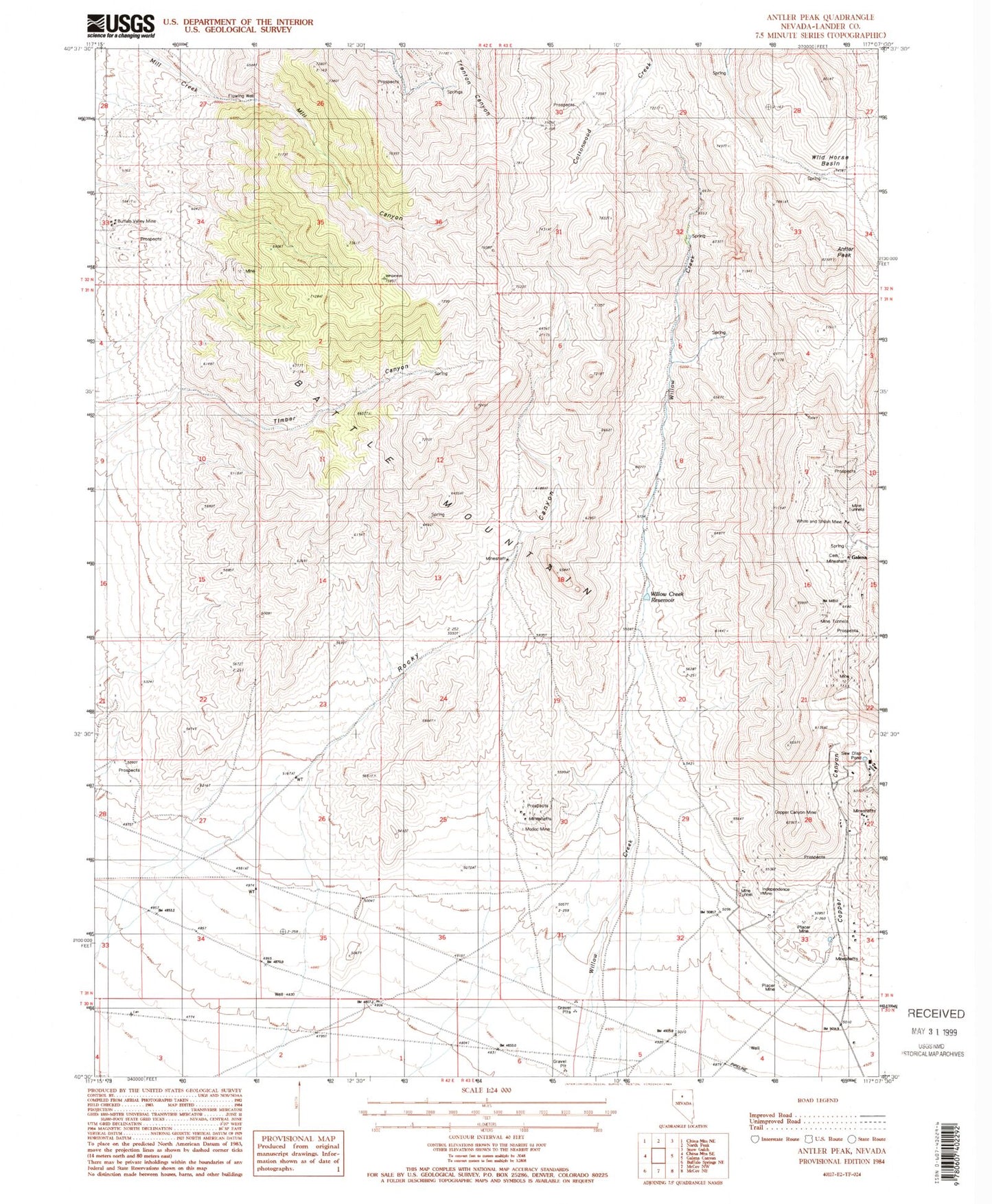
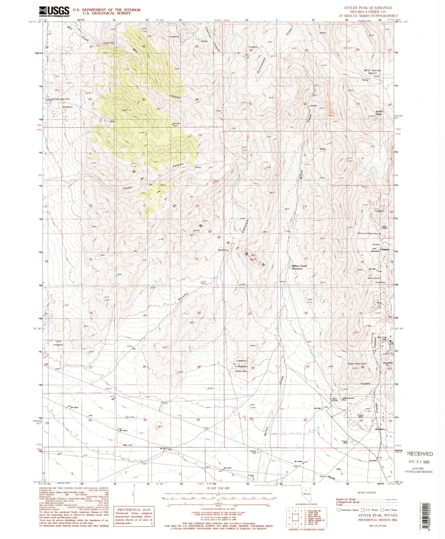
Classic USGS Antler Peak Nevada 7.5'x7.5' Topo Map
Couldn't load pickup availability
Historical USGS topographic quad map of Antler Peak in the state of Nevada. Map scale may vary for some years, but is generally around 1:24,000. Print size is approximately 24" x 27"
This quadrangle is in the following counties: Lander.
The map contains contour lines, roads, rivers, towns, and lakes. Printed on high-quality waterproof paper with UV fade-resistant inks, and shipped rolled.
Contains the following named places: Antler Peak, Big Nugget Mine, Black Rock Mine, Blanco, Blossom Mine, Bon Ami Mine, Buena Vista Mine, Buffalo Valley Mine, Buffalo Valley Mining District, Copper Canyon, Copper Canyon Mine, Copper Canyon Placer Camp, Copper Canyon Post Office, D and E Mine, Dahl Placer, Dead Horse Mine, Eldorado Mine, Elko-Lander Mine, Estis Mine, Galena, Galena Post Office, Gold Crown Mine, Gold Crown Placer Mine, Greenan Placers Mine, Guy Davis Mine, Hard Times Mine, Homestake Consolidated Mine, Independence Mine, Jory Ranch, Marion Mine, Meagher Mine, Mill Canyon, Modoc Mine, Natomas Placers, Nevada Mine, Nicklas Mine, Oversight Mine, Palisades Mine, Rocky Canyon, Sunrise Fraction Mine, Superior Lease Mine, Telluride, Telluride Mine, Timber Canyon, Trenton Mine, Virgin and Superior Mine, Weber Gulch Mine, White, White and Shiloh Mine, Wild Horse Basin, Willow Canyon, Willow Creek Reservoir, Wilson Independence Mine


