MyTopo
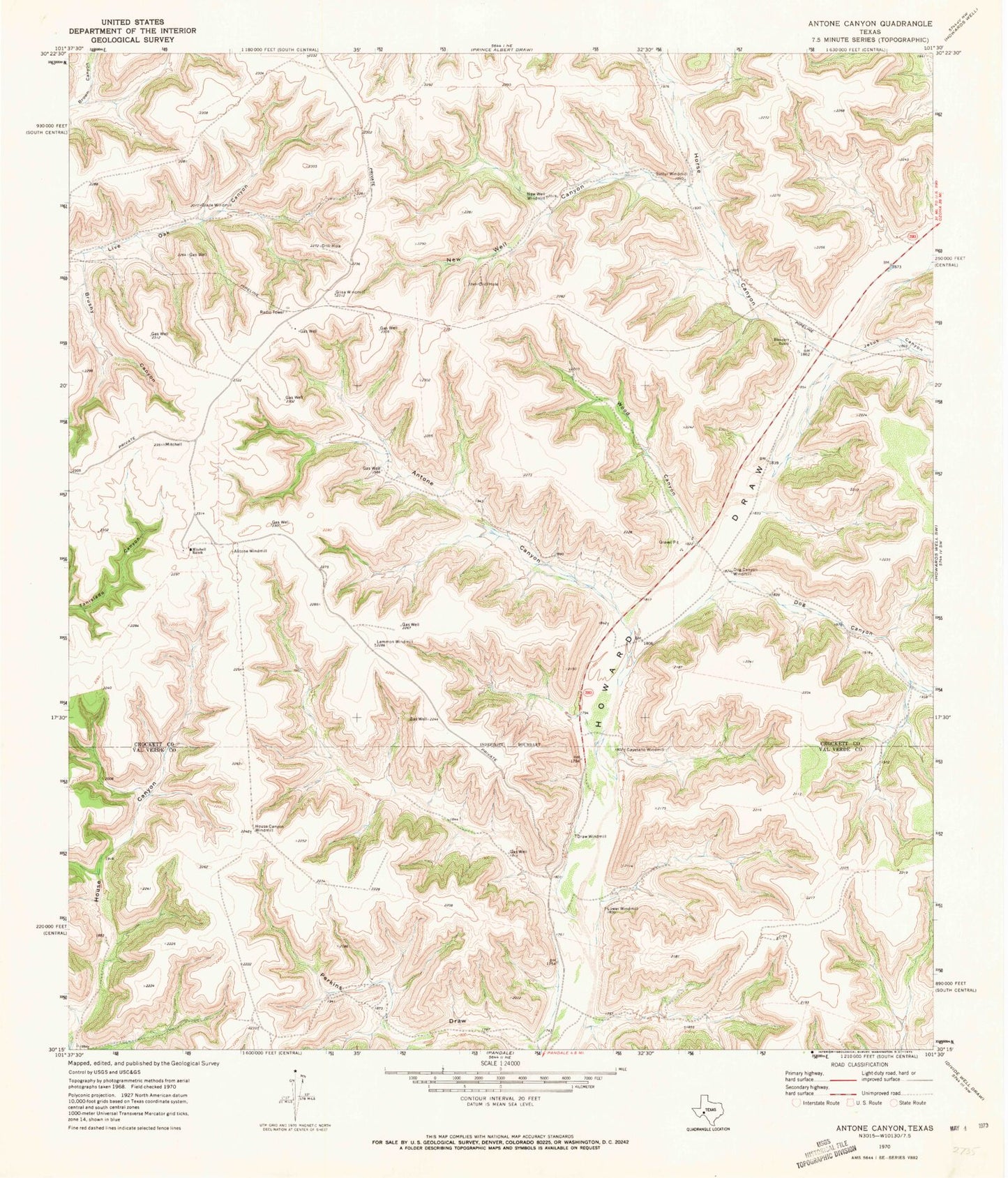
Classic USGS Antone Canyon Texas 7.5'x7.5' Topo Map
Couldn't load pickup availability
Historical USGS topographic quad map of Antone Canyon in the state of Texas. Map scale may vary for some years, but is generally around 1:24,000. Print size is approximately 24" x 27"
This quadrangle is in the following counties: Crockett, Val Verde.
The map contains contour lines, roads, rivers, towns, and lakes. Printed on high-quality waterproof paper with UV fade-resistant inks, and shipped rolled.
Contains the following named places: Antone Canyon, Antone Windmill, Blakeney Ranch, Brushy Canyon, Cayetano Windmill, Dog Canyon, Dog Canyon Windmill, Draw Windmill, Glade Windmill, Glisa Windmill, Horse Canyon, House Canyon Windmill, Jesus Canyon, Lemmon Windmill, Lower Windmill, Mitchell Ranch, New Well Canyon, New Well Windmill, Sulfur Windmill, Wood Canyon