MyTopo
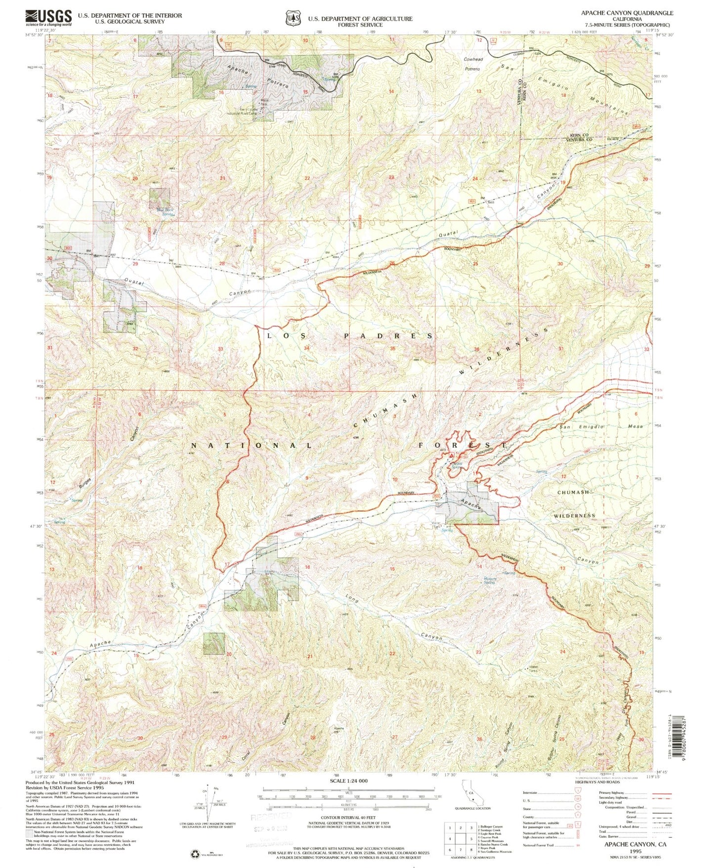
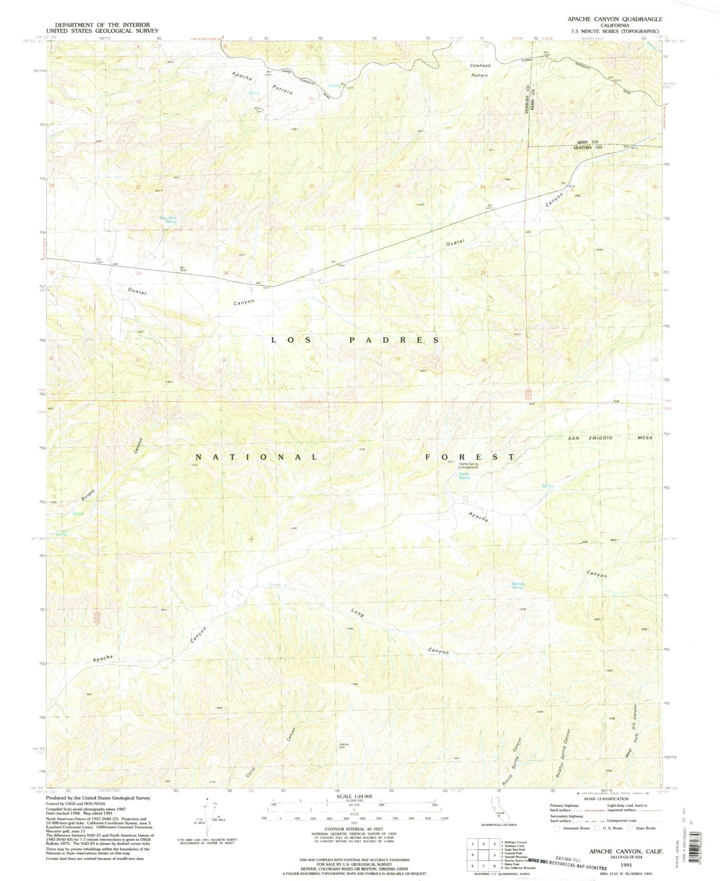
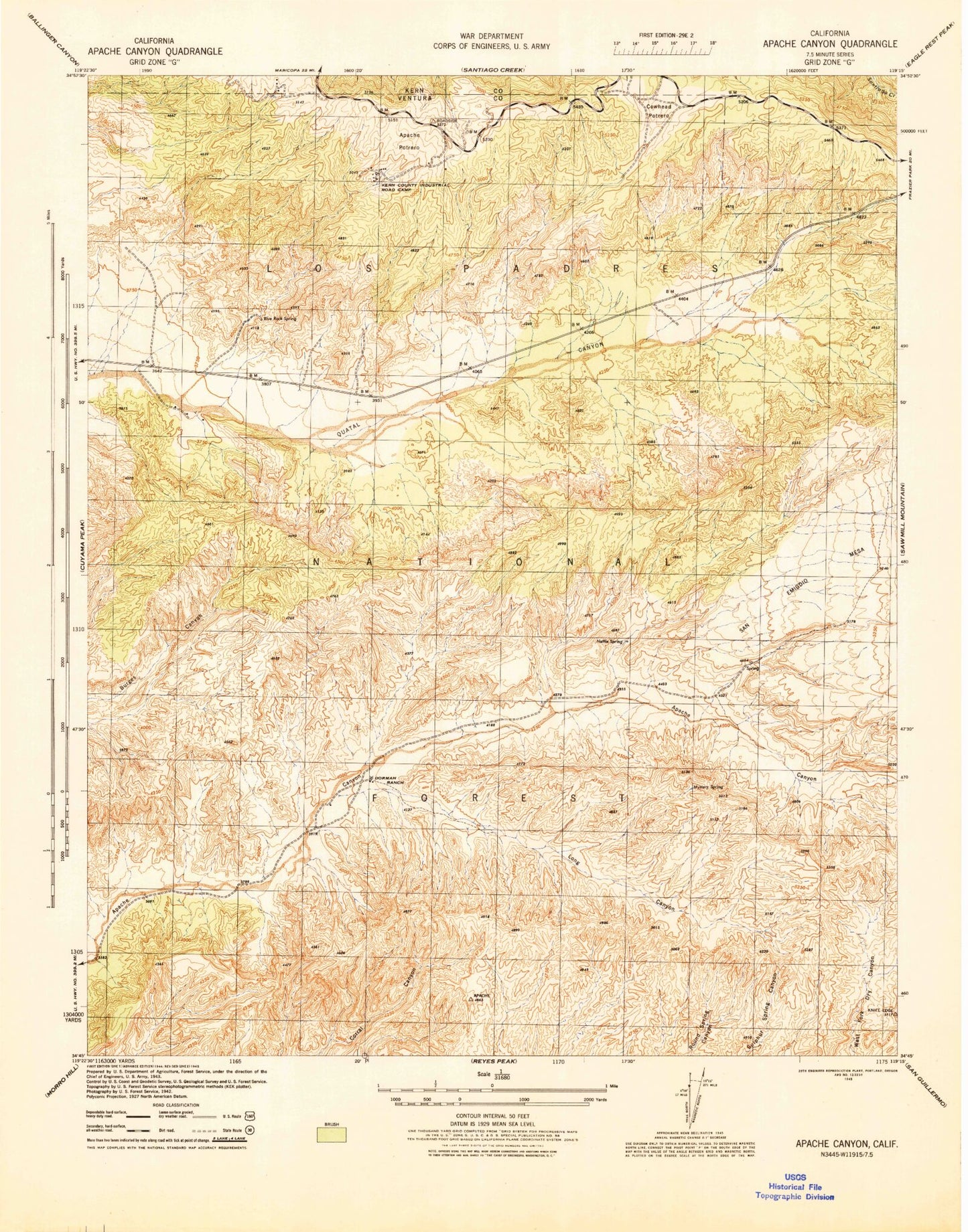
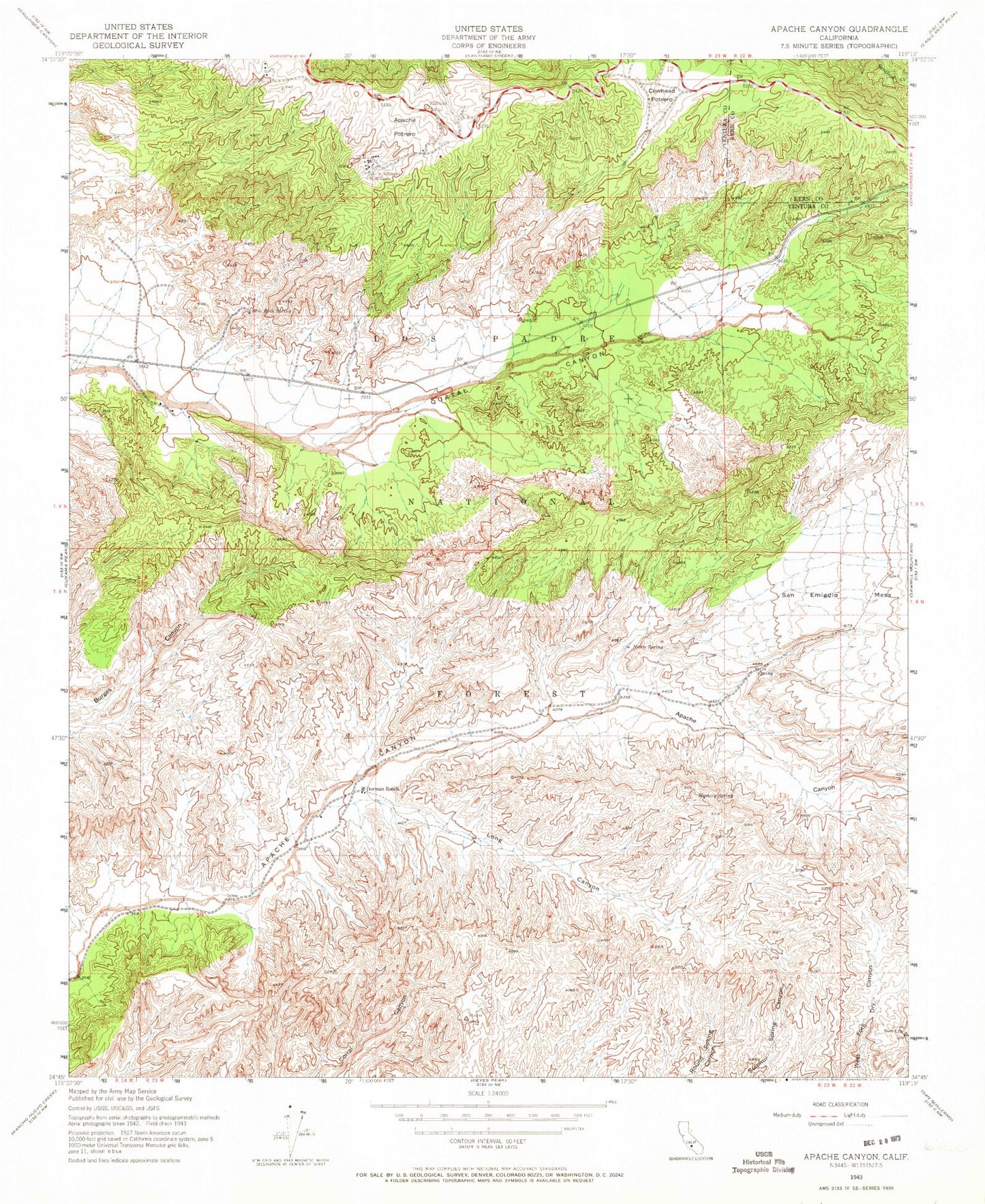
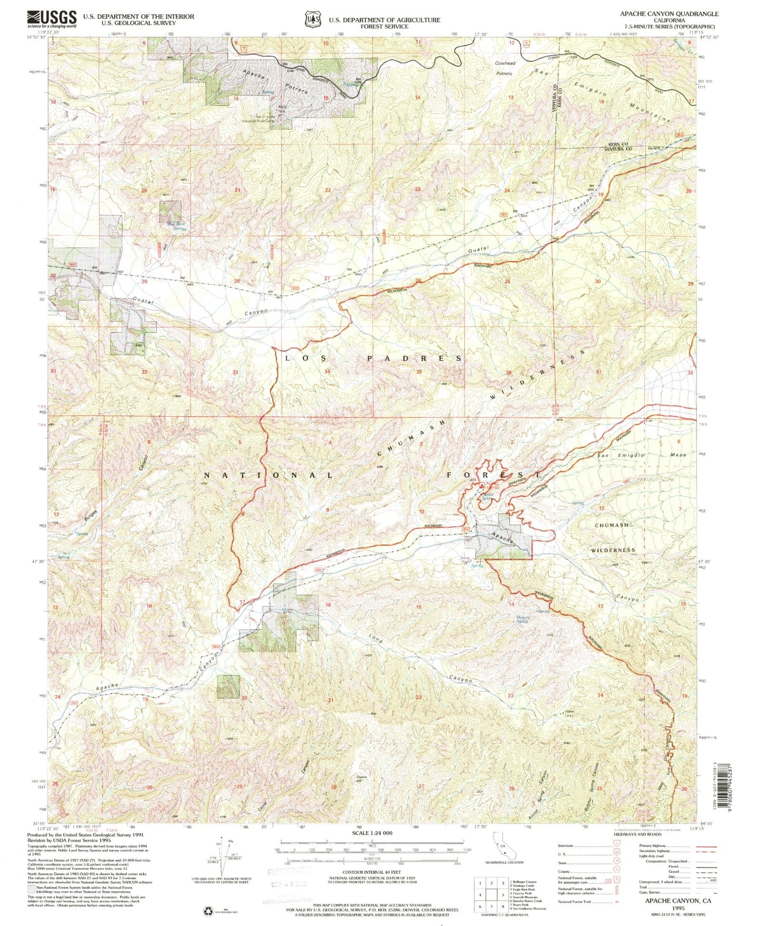
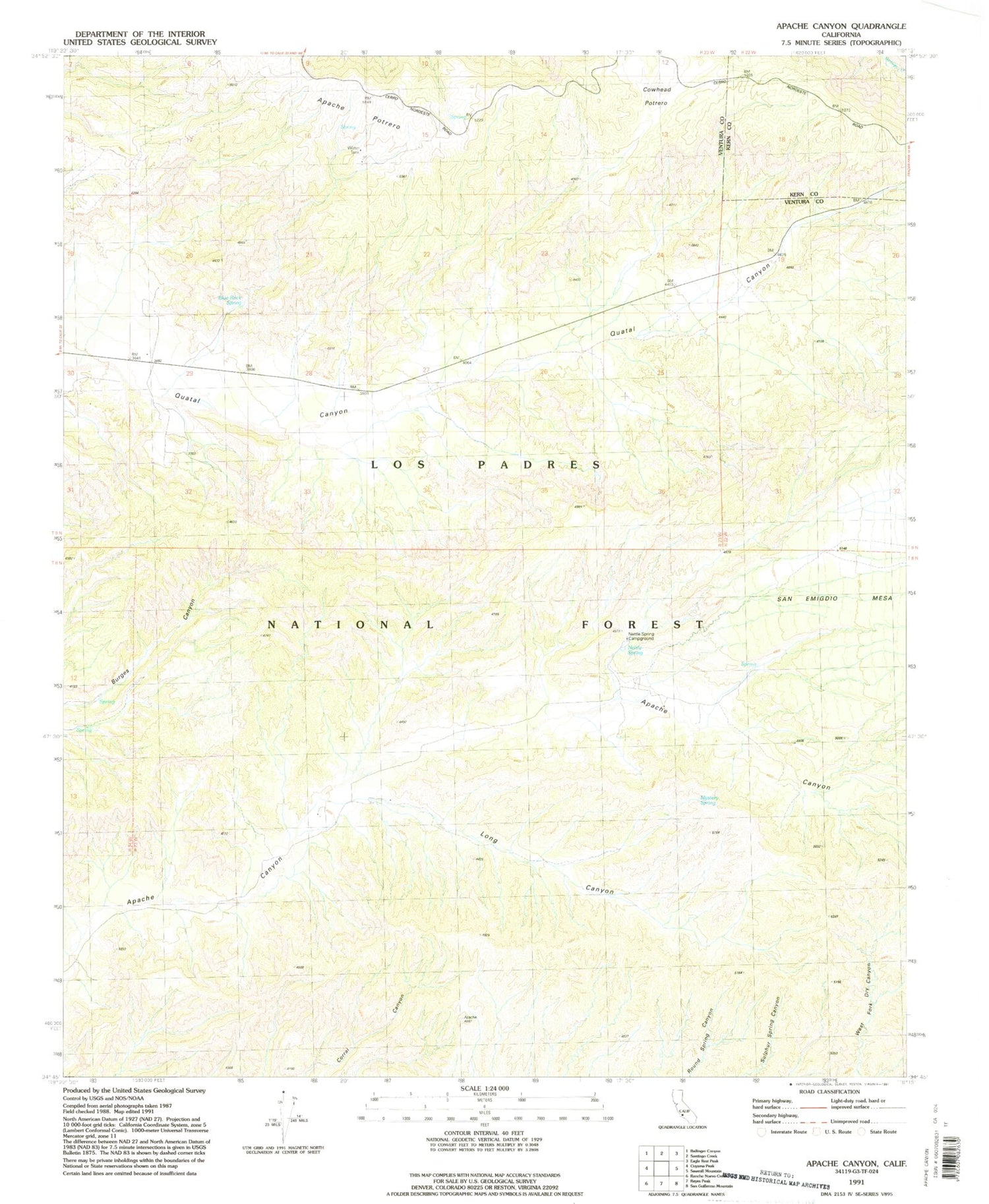
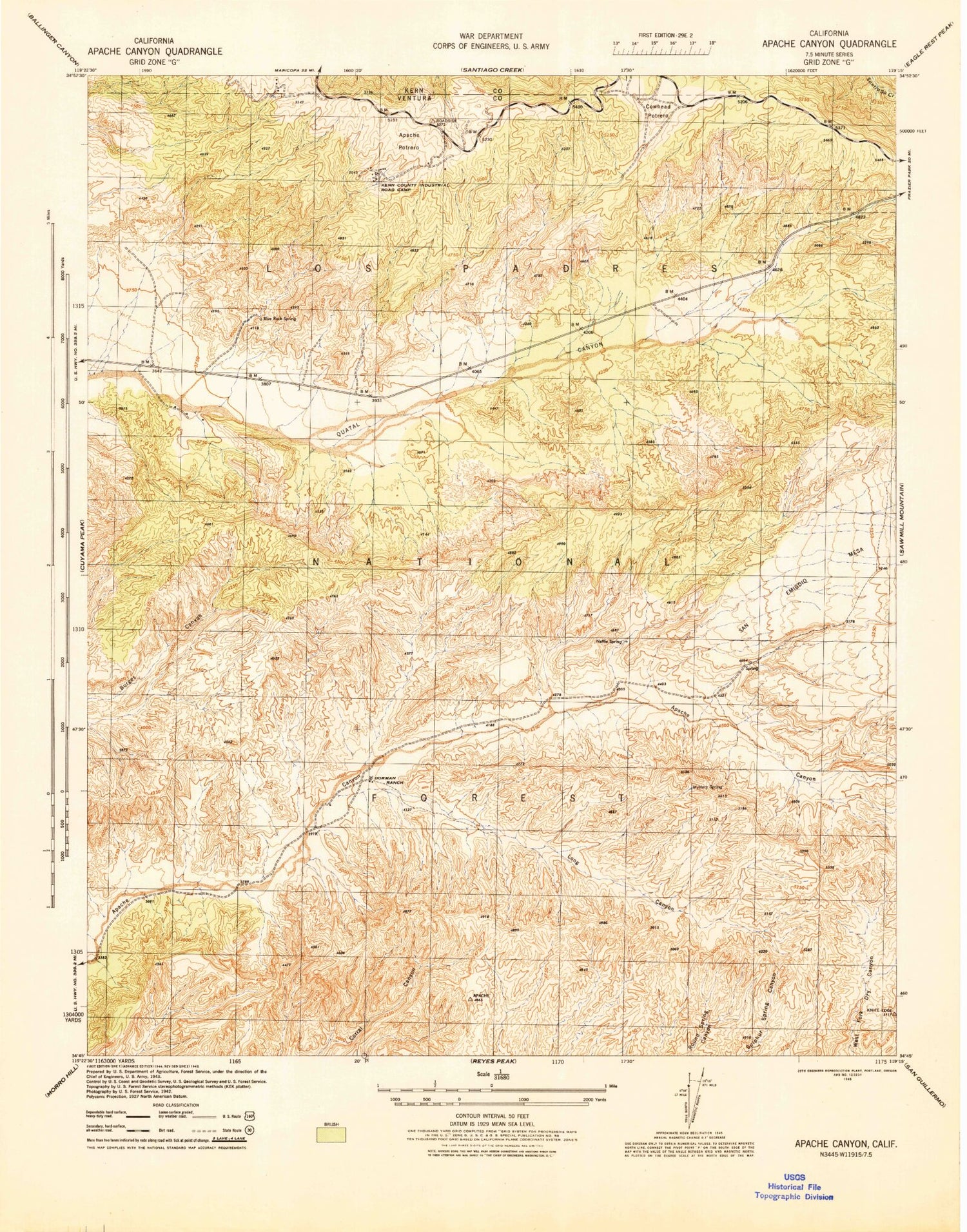
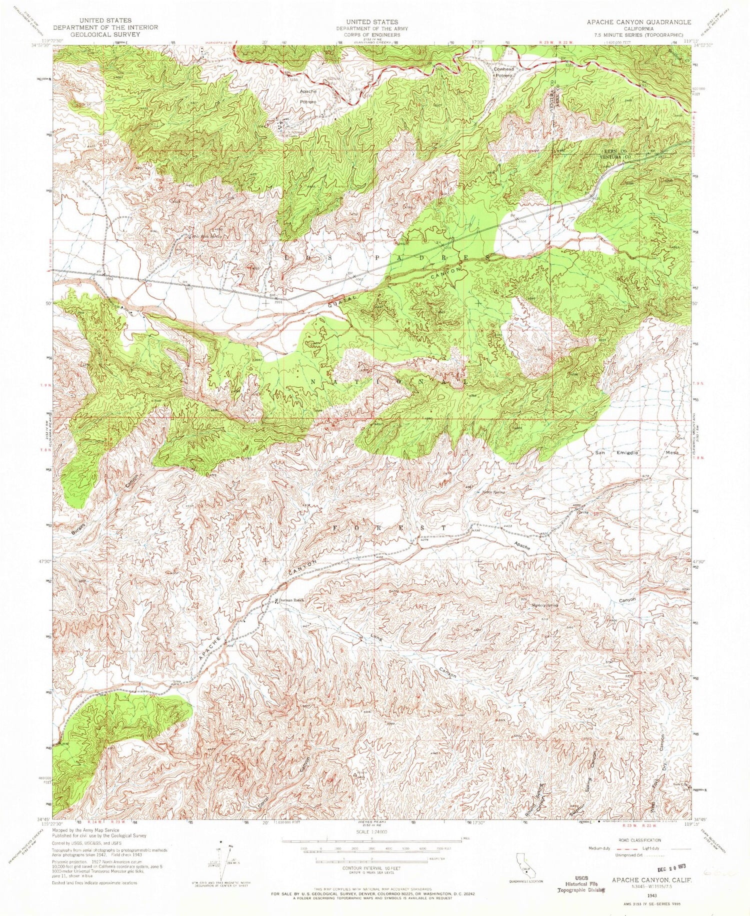
Classic USGS Apache Canyon California 7.5'x7.5' Topo Map
Couldn't load pickup availability
Historical USGS topographic quad map of Apache Canyon in the state of California. Typical map scale is 1:24,000, but may vary for certain years, if available. Print size: 24" x 27"
This quadrangle is in the following counties: Kern, Ventura.
The map contains contour lines, roads, rivers, towns, and lakes. Printed on high-quality waterproof paper with UV fade-resistant inks, and shipped rolled.
Contains the following named places: Nettle Spring Campground, Apache Potrero, Blue Rock Spring, Kern County Industrial Road Camp, Cowhead Potrero, Dorman Ranch, Long Canyon, Mystery Spring, Nettle Spring, Valle Vista Recreation Site, Nettle Spring Recreation site, Nettle Spring Campground, Apache Potrero, Blue Rock Spring, Kern County Industrial Road Camp, Cowhead Potrero, Dorman Ranch, Long Canyon, Mystery Spring, Nettle Spring, Valle Vista Recreation Site, Nettle Spring Recreation site, Nettle Spring Campground, Apache Potrero, Blue Rock Spring, Kern County Industrial Road Camp, Cowhead Potrero, Dorman Ranch, Long Canyon, Mystery Spring, Nettle Spring, Valle Vista Recreation Site, Nettle Spring Recreation site
