MyTopo
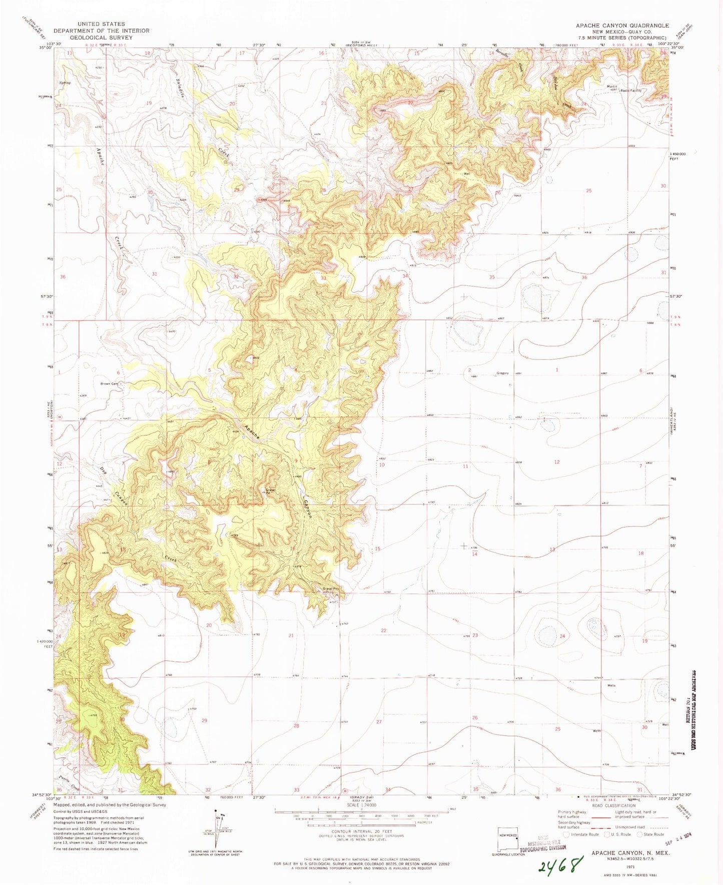
Classic USGS Apache Canyon New Mexico 7.5'x7.5' Topo Map
Couldn't load pickup availability
Historical USGS topographic quad map of Apache Canyon in the state of New Mexico. Map scale may vary for some years, but is generally around 1:24,000. Print size is approximately 24" x 27"
This quadrangle is in the following counties: Quay.
The map contains contour lines, roads, rivers, towns, and lakes. Printed on high-quality waterproof paper with UV fade-resistant inks, and shipped rolled.
Contains the following named places: 10250 Water Well, 10267 Water Well, 10268 Water Well, 10269 Water Well, 10270 Water Well, 10271 Water Well, 10272 Water Well, 10273 Water Well, 10274 Water Well, 10275 Water Well, 10276 Water Well, 10277 Water Well, 10763 Water Well, 10764 Water Well, 10765 Water Well, 10766 Water Well, 10767 Water Well, 10769 Water Well, 10773 Water Well, Apache Canyon, Brochard, Brown Cemetery, Duke, Puerto Canyon