MyTopo
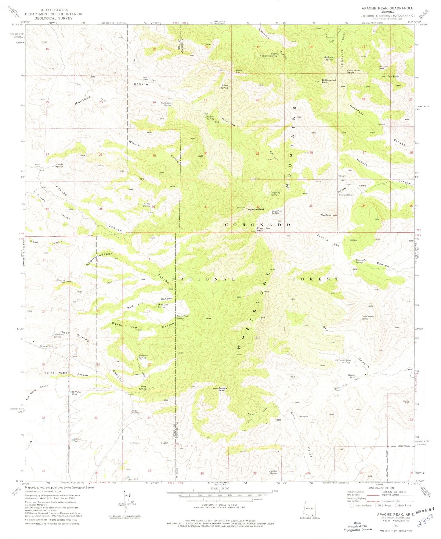
Classic USGS Apache Peak Arizona 7.5'x7.5' Topo Map
Couldn't load pickup availability
Historical USGS topographic quad map of Apache Peak in the state of Arizona. Typical map scale is 1:24,000, but may vary for certain years, if available. Print size: 24" x 27"
This quadrangle is in the following counties: Cochise, Pima.
The map contains contour lines, roads, rivers, towns, and lakes. Printed on high-quality waterproof paper with UV fade-resistant inks, and shipped rolled.
Contains the following named places: Apache Peak, Apache Spring, Bathtub Spring, Bear Spring, Blacktail Spring, Bootlegger Spring, Boulder Tank, Burro Gap, Burro Spring, Cottonwood Peak, Cottonwood Saddle, Coyote Spring, Death Trap Canyon, Death Trap Spring, Dripping Spring, Dry Canyon Spring, Dry Canyon Well, East Peak, French Joe Peak, French Joe Spring, Glenn Spring, Goat Well, Granite Peak, Juniper Spring, Lobo Pass, Lone Pine Saddle, Maverick Well, McNalley Tank, Middle Tank, Ramsey Well, Simpson Spring, South Fork Middle Canyon, The Cape, Upper Tank, Upper Wakefield Spring, Whetstone Mountains, Wild Cow Canyon, Wild Cow Spring, Willow Canyon, Willow Spring, Goat Spring, Great Spring Tank, Lower Wakefield Spring, Middle Wakefield Spring, Upper Dry Tank, Middle Dry Tank, Mine Canyon Trick Tank, Iron Spring, East Peak Trick Tank, New Dry Canyon Trick Tank, French Joe Trick Tank, Cottonwood Trick Tank, Christmas Tank, Clyne Well, Lower Bear Spring, Copper Sands Well, Goat Well, Shellenberger Trick Tank, Cottonwood Spring, Hardwater Spring, Glenn Spring, White Wing Spring, Basin Spring, Upper Guindani Trick Tank, Hidden Springs, Cement Trough Spring, Wakefield Northeast Tank


