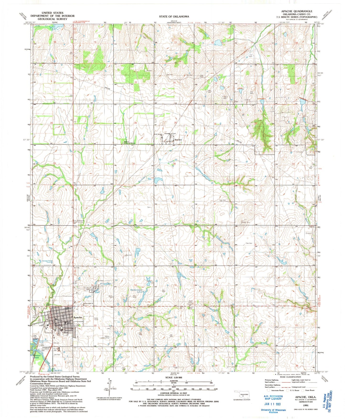
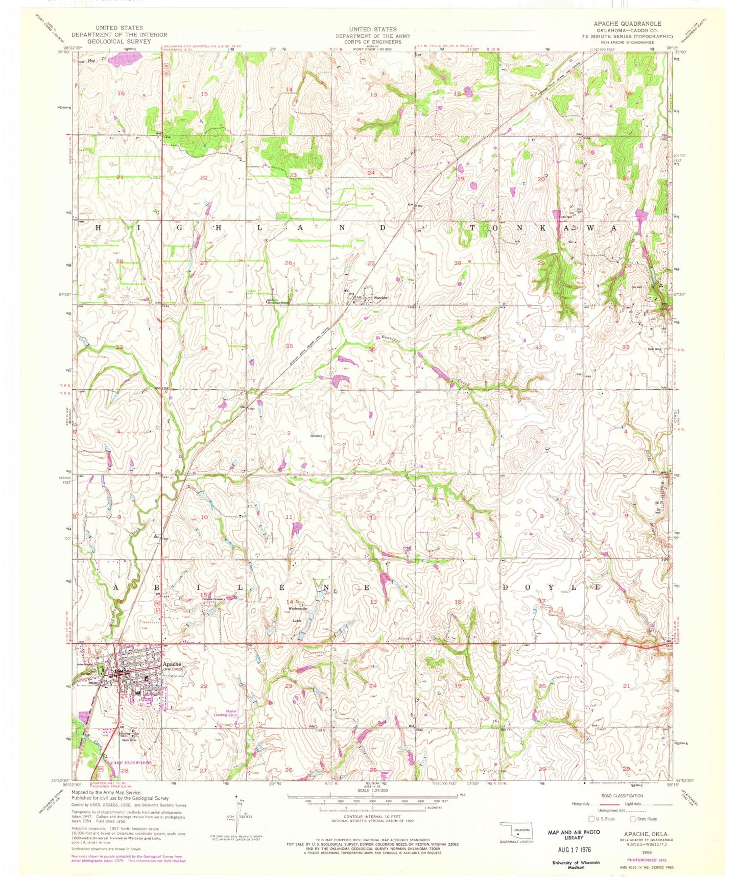
MyTopo
Classic USGS Apache Oklahoma 7.5'x7.5' Topo Map
Couldn't load pickup availability
Historical USGS topographic quad map of Apache in the state of Oklahoma. Map scale may vary for some years, but is generally around 1:24,000. Print size is approximately 24" x 27"
This quadrangle is in the following counties: Caddo.
The map contains contour lines, roads, rivers, towns, and lakes. Printed on high-quality waterproof paper with UV fade-resistant inks, and shipped rolled.
Contains the following named places: Apache, Apache Ambulance Service, Apache Elementary School, Apache Fire Department, Apache High School, Apache Middle School, Apache Police Department, Apache Post Office, Assembly of God Church, Fairview Cemetery, Fort Sill Apache Tribal Complex, Full Gospel Church, Huntley, Manar Landing Strip, Methvin Memorial Mission, Mission Creek, Pentecostal Church, Saint Peter Lutheran Cemetery, Stecker, Tonkawa Creek Site 10 Dam, Tonkawa Creek Site 10 Reservoir, Tonkawa Creek Site 2a Dam, Tonkawa Creek Site 2a Reservoir, Tonkawa Creek Site 3 Dam, Tonkawa Creek Site 3 Reservoir, Tonkawa Creek Site 6 Dam, Tonkawa Creek Site 6 Reservoir, Tonkawa Creek Site 7 Dam, Tonkawa Creek Site 7 Reservoir, Tonkawa Creek Site 9 Dam, Tonkawa Creek Site 9 Reservoir, Town of Apache, Township of Abilene, Township of Doyle, Township of Highland, Township of Tonkawa, Weidenmaier Lakes