MyTopo
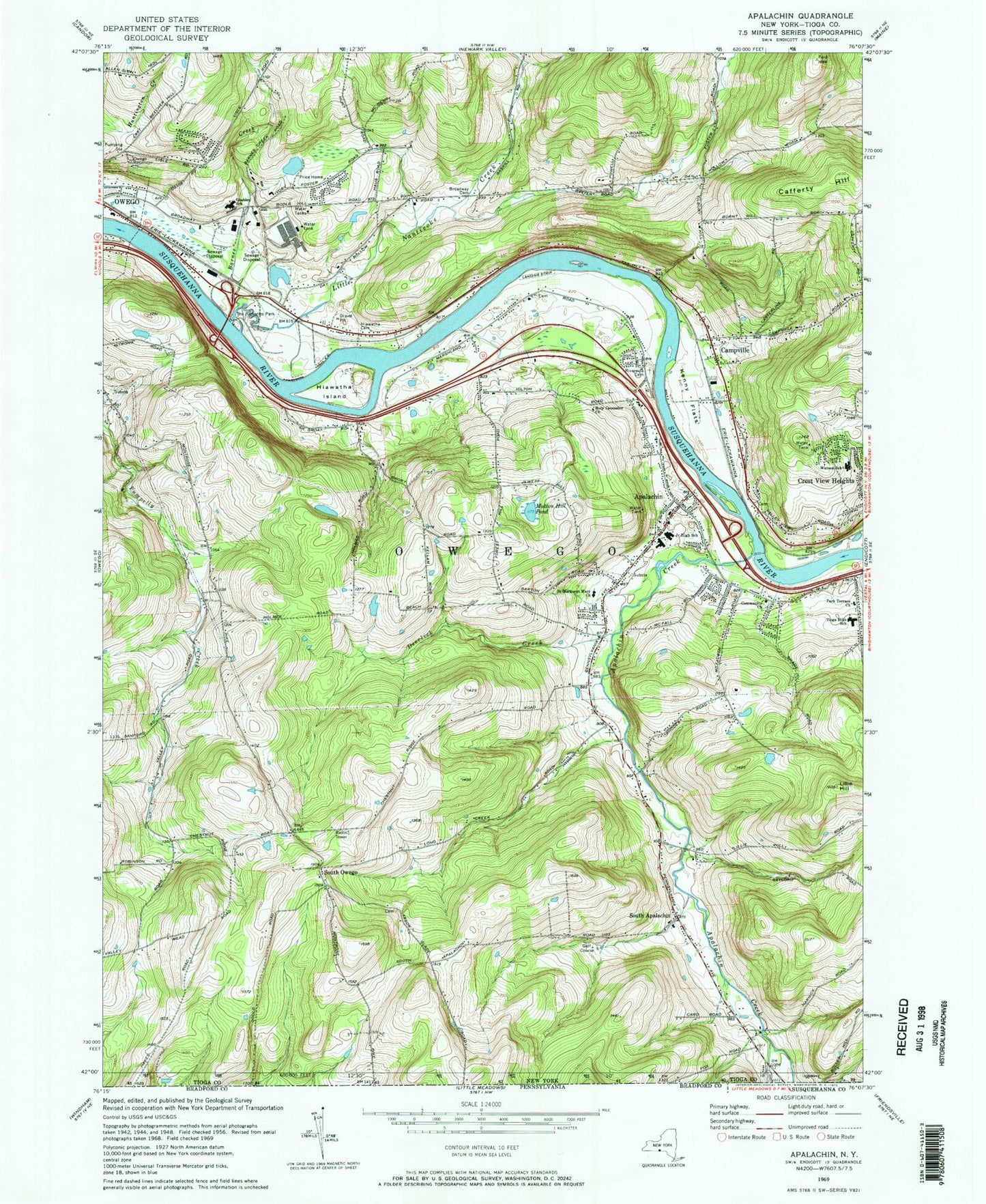
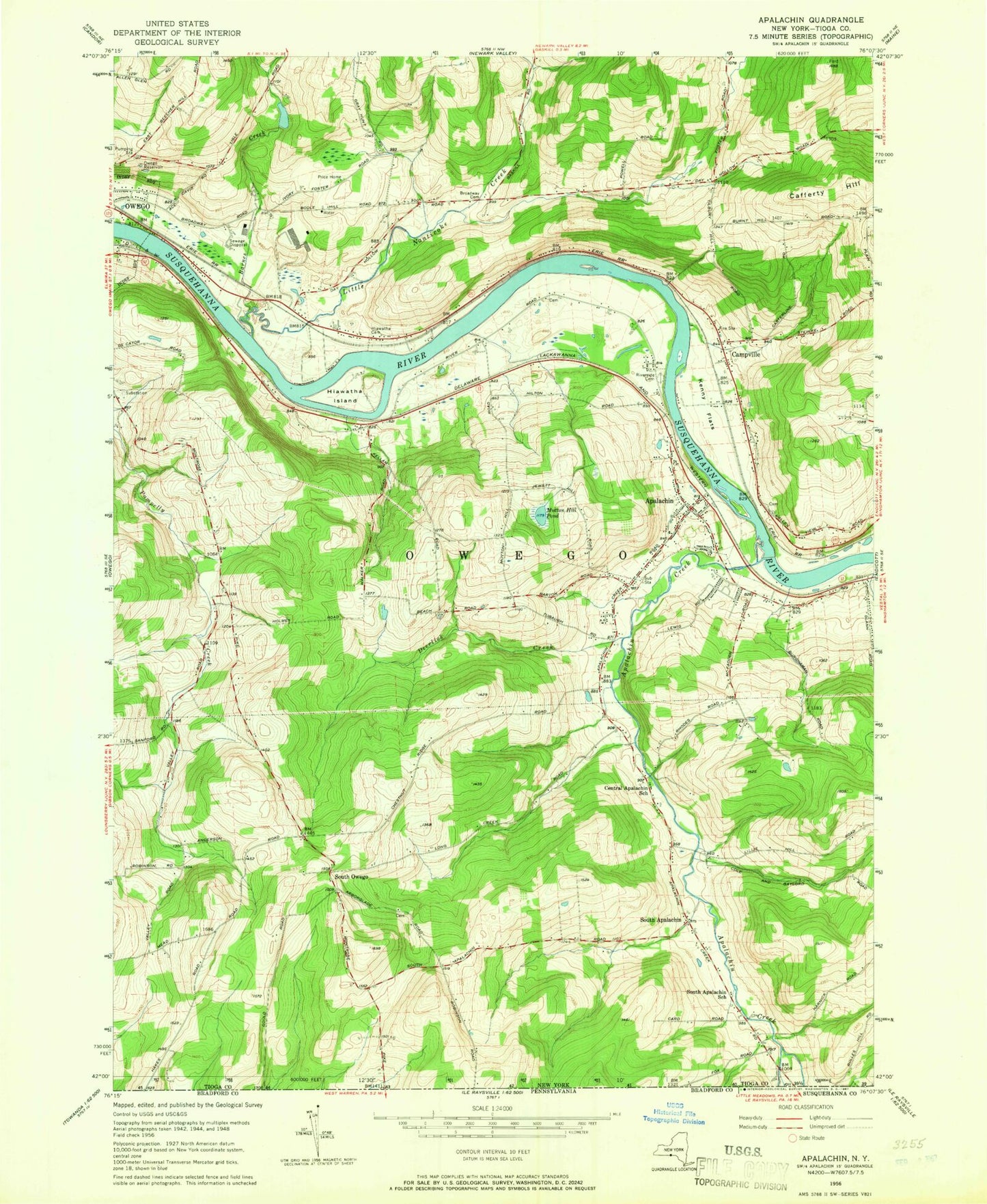
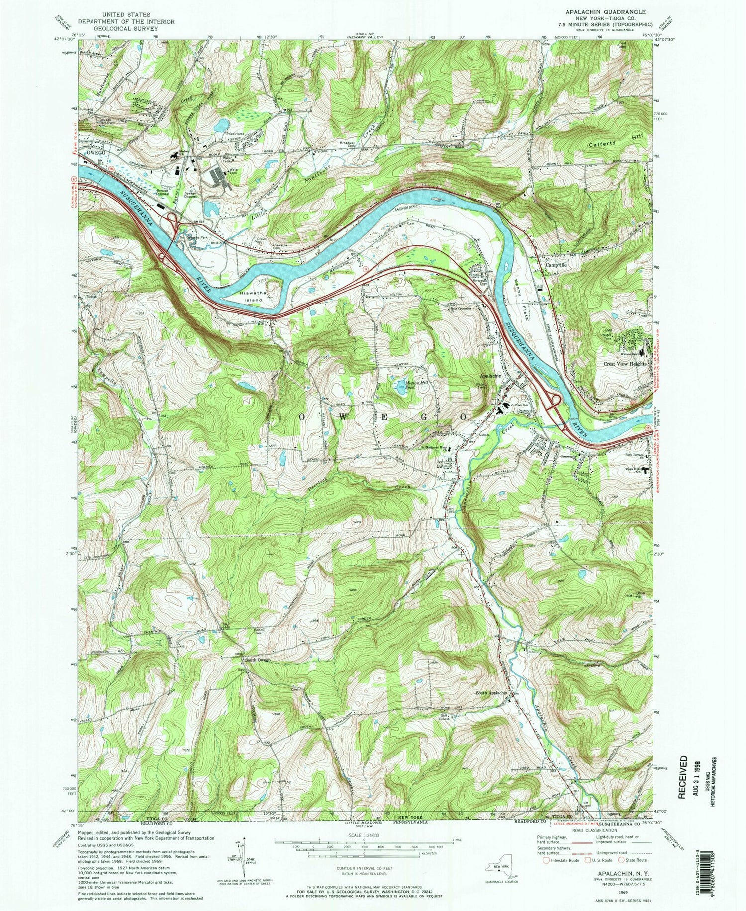
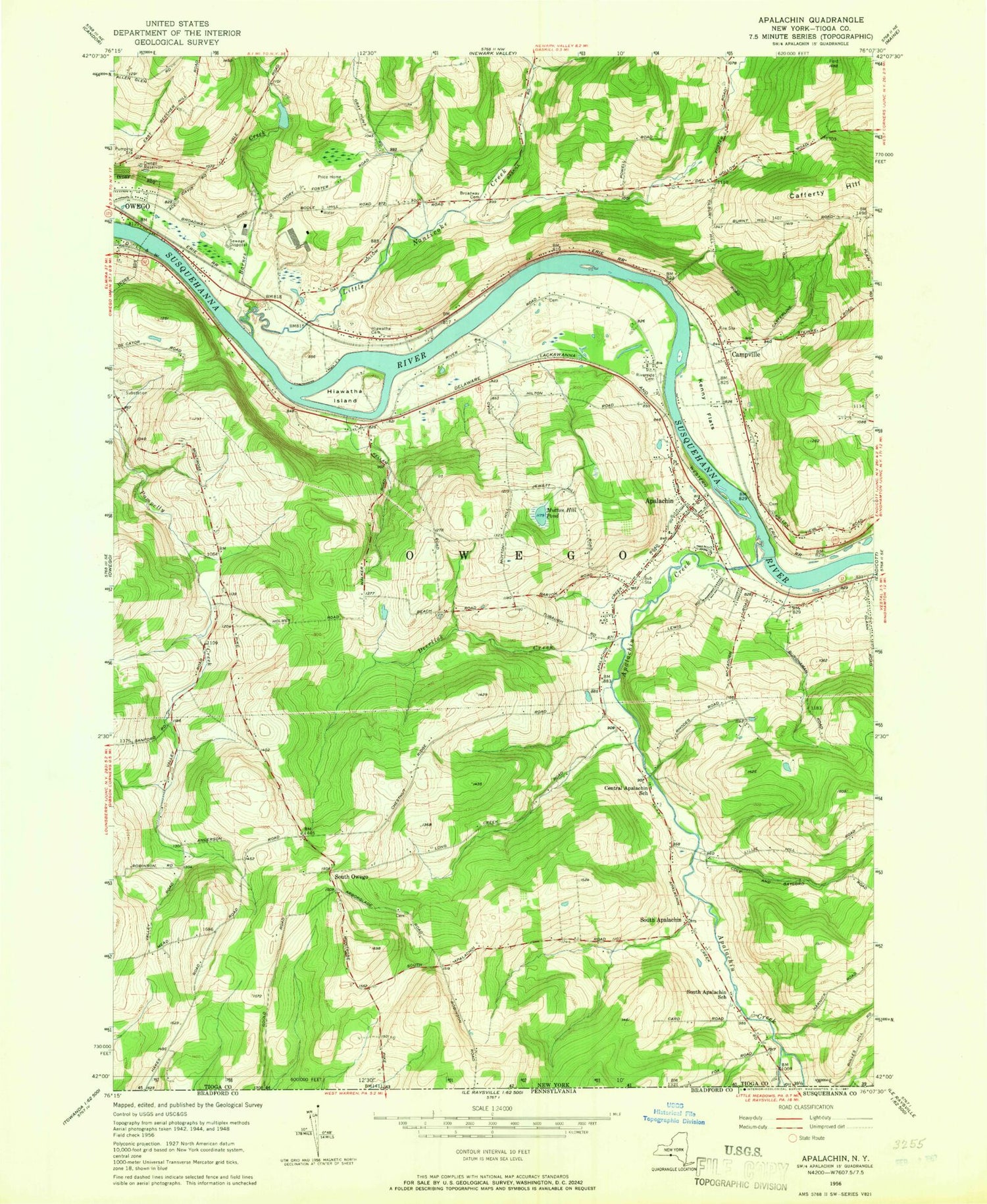
Classic USGS Apalachin New York 7.5'x7.5' Topo Map
Couldn't load pickup availability
Historical USGS topographic quad map of Apalachin in the state of New York. Map scale may vary for some years, but is generally around 1:24,000. Print size is approximately 24" x 27"
This quadrangle is in the following counties: Tioga.
The map contains contour lines, roads, rivers, towns, and lakes. Printed on high-quality waterproof paper with UV fade-resistant inks, and shipped rolled.
Contains the following named places: Abide in the Vine Fellowship, Apalachin, Apalachin Census Designated Place, Apalachin Creek, Apalachin Elementary School, Apalachin Fire Department, Apalachin Golf Course, Apalachin Marsh Bird Sanctuary, Apalachin Post Office, Apalachin United Methodist Church, Barnes Creek, Boland Park, Broadway Cemetery, Cafferty Hill, Campville, Campville Cemetery, Campville Commons, Campville Fire Department Station 1, Community Baptist Church, Deerlick Creek, Faith Christian Academy Church, Gladden School, Hiawatha Cemetery, Hiawatha Island, Hiawatha Island Wildlife Refuge, Holy Counselor Church, IBM Owego Heliport, Kenny Flats, Klett Farm, Lakeview Chapel, Lillie Hill, Little Nanticoke Creek, Living Water Baptist Church, Main Street Bridge, MDC Site 1 Heliport, Muth Park, Mutton Hill Pond, Owego Family Practice Health Center, Owego Reservoir, Owego Water Pollution Control Point Number 2, Park Terrace United Methodist Church, Price Home, Riverside Cemetery, Riverview Manor Nursing Home, Rural Owego Cemetery, Saint Margaret Mary's Church, South Apalachin, South Apalachin Baptist Church, South Owego, South Owego Bible Church, South Owego Cemetery, Southern Tier Nurseries, Susquehanna Heliport, The Hickories Park, The Links at Hiawatha Landing, The Links At Hiawatha Landing, Thomas J Watson Sr Elementary School, Tioga Gardens, Tioga Hills Elementary School, Town of Owego, Tracy Cemetery, Tree of Life Christian Fellowship, ZIP Codes: 13732, 13827


