MyTopo
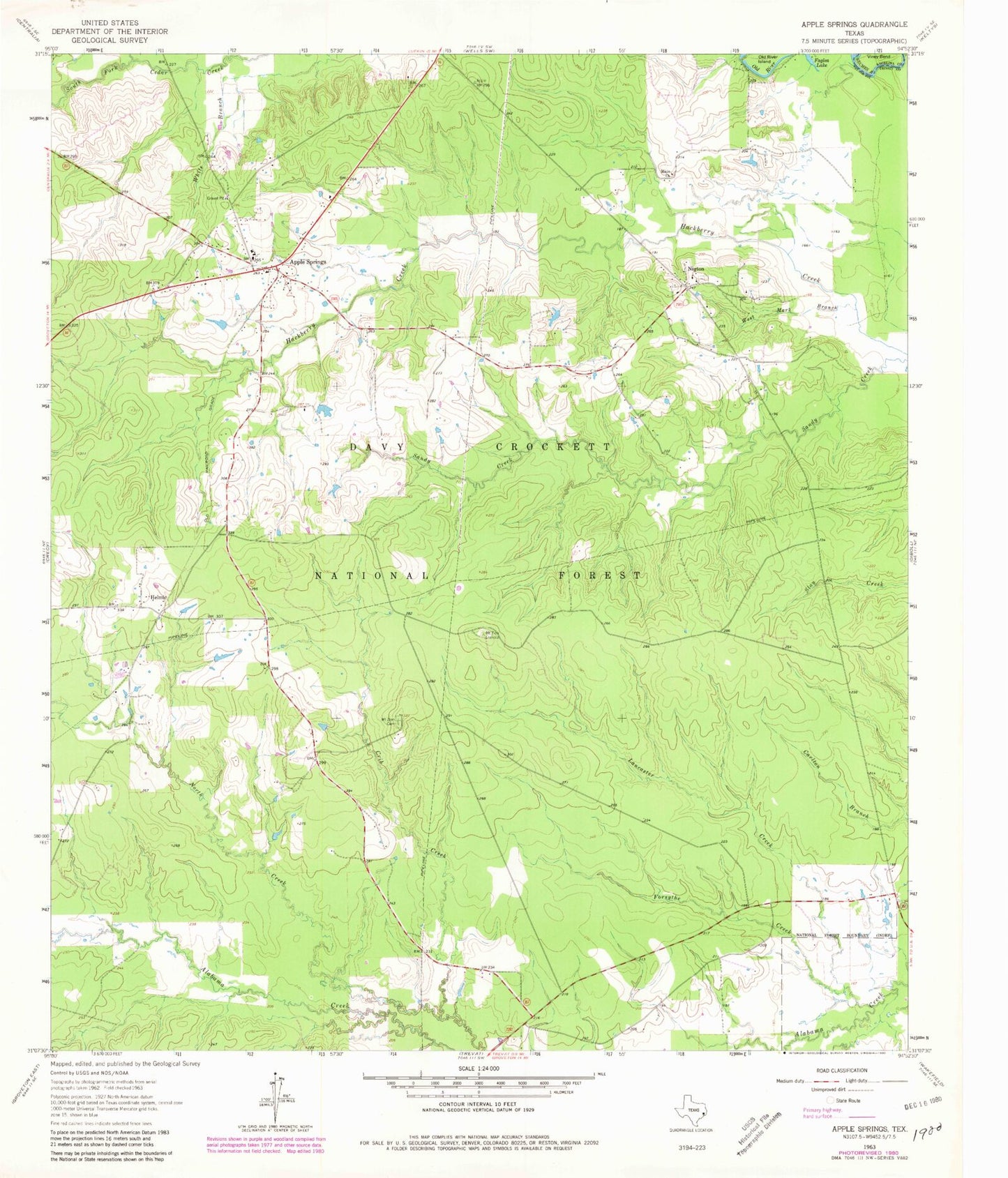
Classic USGS Apple Springs Texas 7.5'x7.5' Topo Map
Couldn't load pickup availability
Historical USGS topographic quad map of Apple Springs in the state of Texas. Typical map scale is 1:24,000, but may vary for certain years, if available. Print size: 24" x 27"
This quadrangle is in the following counties: Angelina, Trinity.
The map contains contour lines, roads, rivers, towns, and lakes. Printed on high-quality waterproof paper with UV fade-resistant inks, and shipped rolled.
Contains the following named places: Faglea Lake, Apple Springs, Black Lake Creek, Crib Creek, Forsythe Creek, Helmic, Lancaster Creek, Mount Zion Cemetery, Mount Zion Lookout, Old River Island, West Mark Branch, Viney Bend, Nigton, Mayo Church, Alabama Creek WMA, Apple Springs Forest Service Facility, Apple Springs Division, Apple Springs, Apple Springs Volunteer Fire Department, Apple Springs Post Office