MyTopo
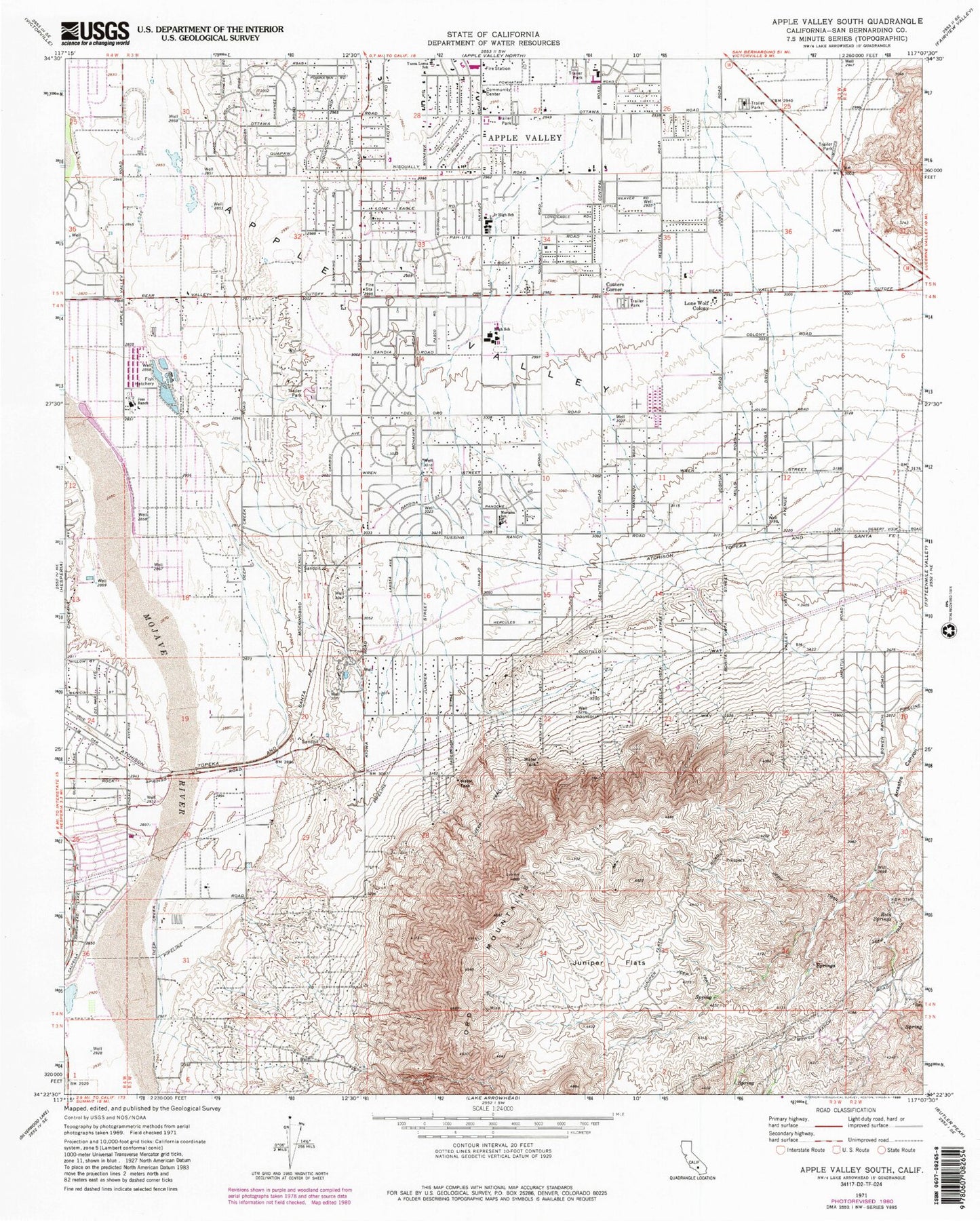
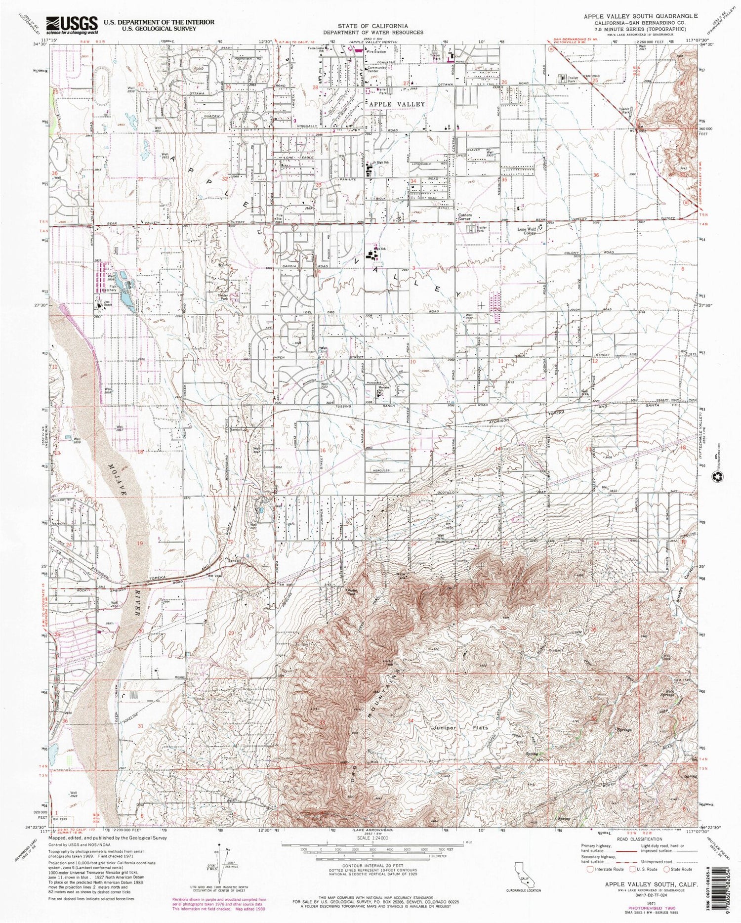
Classic USGS Apple Valley South California 7.5'x7.5' Topo Map
Couldn't load pickup availability
Historical USGS topographic quad map of Apple Valley South in the state of California. Map scale may vary for some years, but is generally around 1:24,000. Print size is approximately 24" x 27"
This quadrangle is in the following counties: San Bernardino.
The map contains contour lines, roads, rivers, towns, and lakes. Printed on high-quality waterproof paper with UV fade-resistant inks, and shipped rolled.
Contains the following named places: Antelope Valley, Apple Valley Adult School, Apple Valley Christian School, Apple Valley Community Center, Apple Valley Fire Protection District Station 334, Apple Valley Fire Protection District Station 335, Apple Valley Fire Protection District Station 336, Apple Valley Fire Protection District Station 337, Apple Valley High School, Apple Valley Highlands, Apple Valley Post Office, Apple Valley Senior Citizens Club, Bass Sports Center, Carmel Elementary School, Circle M Ranch, Cotners Corner, Hesperia Lake Park, High Desert Premier Academy, Horsemans Center Park, Jess Lakes, Jess Ranch, Juniper Flats, Kiowa Plaza Shopping Center, KZXY-FM (Apple Valley), Loma Park, Lone Wolf Colony, Mariana Academy, Mariana Ranchos, Mendel park, Ord Mountains, Quad Cities Shopping Center, Ranchos del Oro, Rock Springs, Sandia Academy, Sunset Hills, Victor Valley Museum, Willow Park High School, Yucca Loma Elementary School, ZIP Code: 92308


