MyTopo
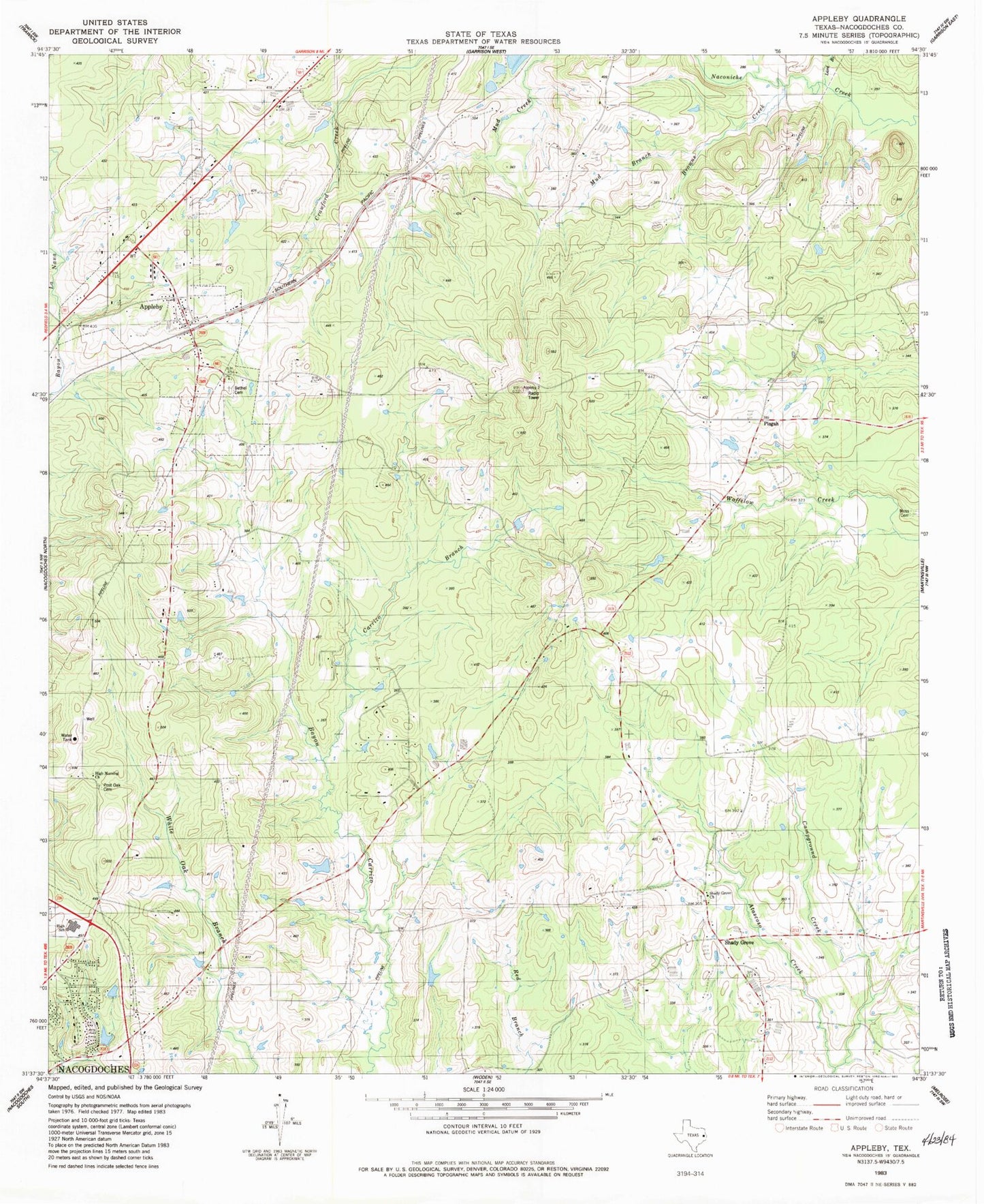
Classic USGS Appleby Texas 7.5'x7.5' Topo Map
Couldn't load pickup availability
Historical USGS topographic quad map of Appleby in the state of Texas. Map scale may vary for some years, but is generally around 1:24,000. Print size is approximately 24" x 27"
This quadrangle is in the following counties: Nacogdoches.
The map contains contour lines, roads, rivers, towns, and lakes. Printed on high-quality waterproof paper with UV fade-resistant inks, and shipped rolled.
Contains the following named places: Appleby, Appleby Church, Appleby Volunteer Fire Department, Bethel Church, Browns Creek, Camel School, Campground Creek, Carrizo Branch, City of Appleby, Corinth Church, High Morning Church, Lard Branch, Moss Cemetery, Mud Branch, Nacogdoches Accelerated Learning Center, Nacogdoches Fire Department Station 4, Nacogdoches High School, Peterson Branch, Pine Bluff Church, Pisgah, Post Oak Cemetery, Red Branch, Shady Grove, Shady Grove Church, Soil Conservation Service Site 21 Dam, Soil Conservation Service Site 21 Reservoir