MyTopo
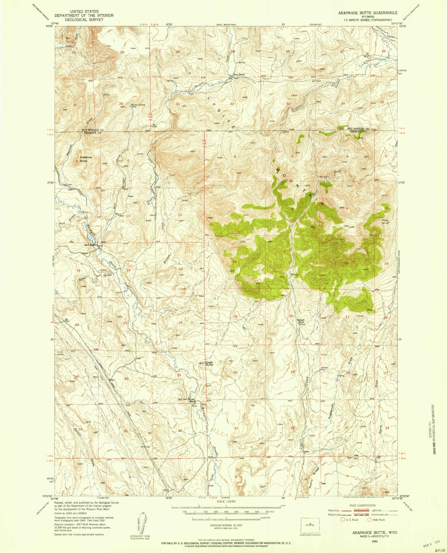
Classic USGS Arapahoe Butte Wyoming 7.5'x7.5' Topo Map
Regular price
$16.95
Regular price
Sale price
$16.95
Unit price
per
Couldn't load pickup availability
Historical USGS topographic quad map of Arapahoe Butte in the state of Wyoming. Map scale may vary for some years, but is generally around 1:24,000. Print size is approximately 24" x 27"
This quadrangle is in the following counties: Fremont, Hot Springs.
The map contains contour lines, roads, rivers, towns, and lakes. Printed on high-quality waterproof paper with UV fade-resistant inks, and shipped rolled.
Contains the following named places: Arapahoe Butte, Bow and Arrow Ranch, Chalk Butte, East Bridger Creek, East Fork Lysite Creek, Greer Draw, Mack Ranch, Mag Number One Mine, Maxwell Draw, Meadow Creek, Puzzle Spring, Ramage Ranch, Reck Ranch, Sagebrush Draw, South Bridger Creek, Willow Spring