MyTopo
Classic USGS Arapahoe Ranch Wyoming 7.5'x7.5' Topo Map
Couldn't load pickup availability
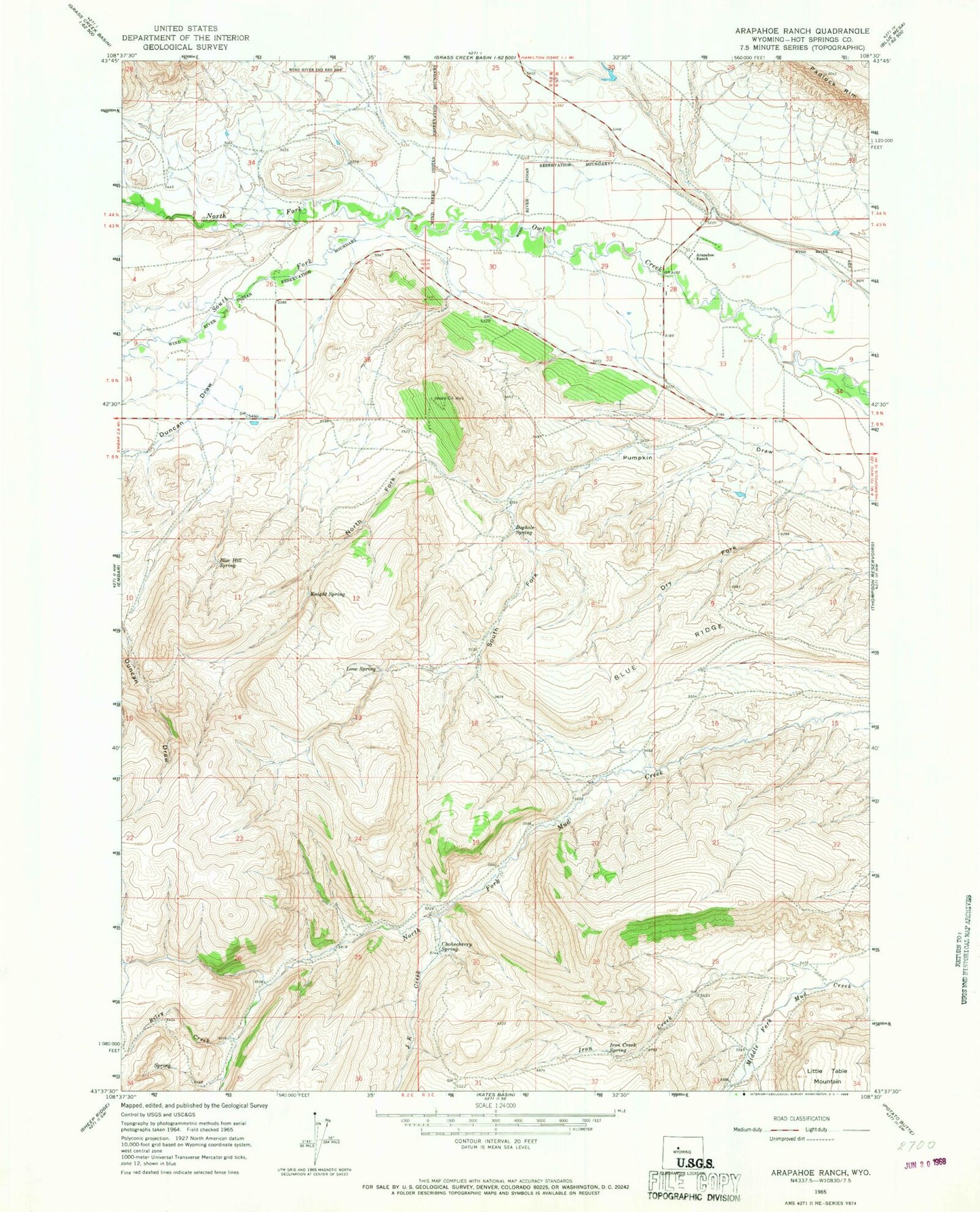
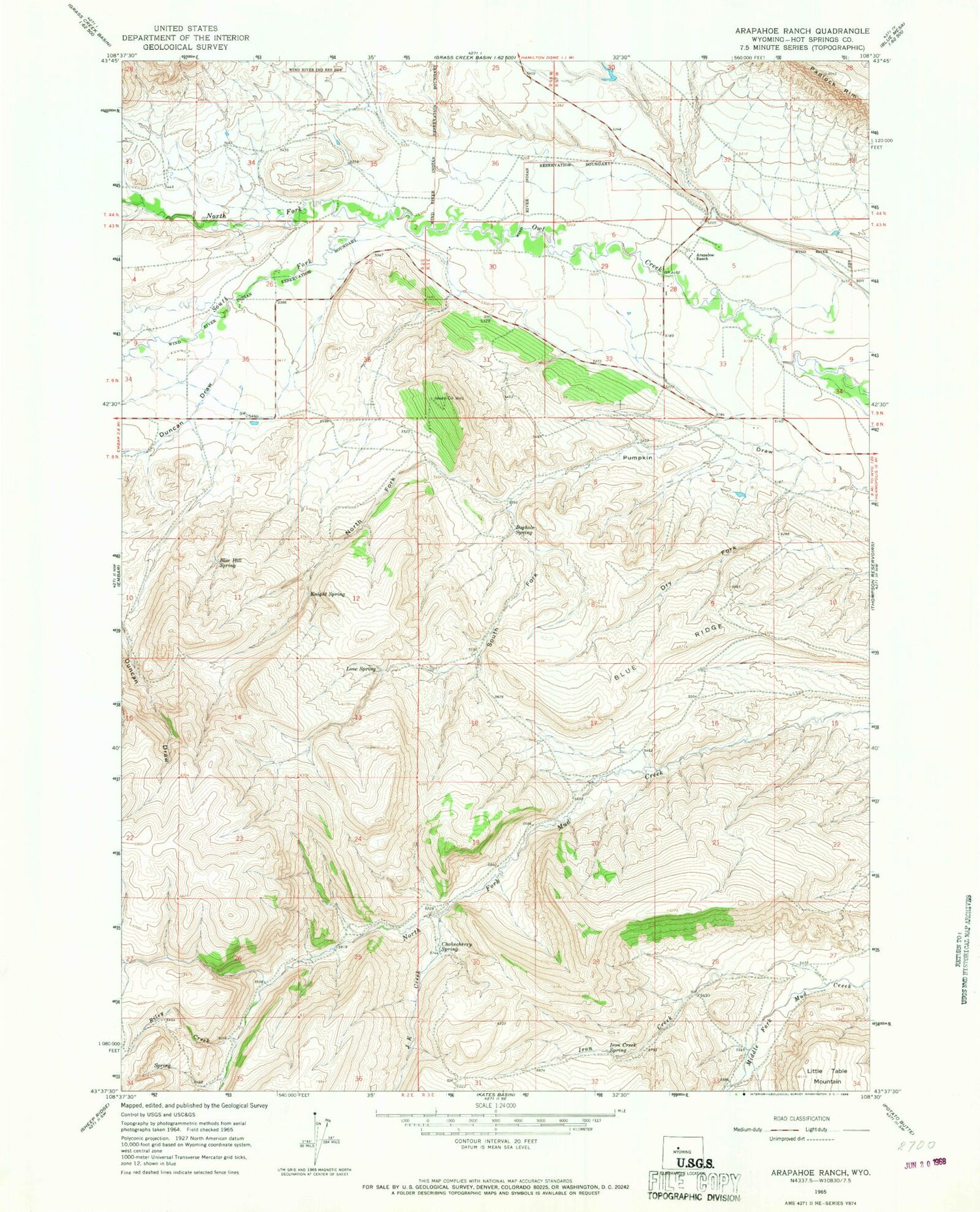
Historical USGS topographic quad map of Arapahoe Ranch in the state of Wyoming. Map scale may vary for some years, but is generally around 1:24,000. Print size is approximately 24" x 27"
This quadrangle is in the following counties: Hot Springs.
The map contains contour lines, roads, rivers, towns, and lakes. Printed on high-quality waterproof paper with UV fade-resistant inks, and shipped rolled.
Contains the following named places: Arapahoe Ranch, Blue Hill Spring, Blue Ridge, Boghole Spring, Chokecherry Spring, Dry Fork, Iron Creek, Iron Creek Spring, J K Creek, Knight Spring, Little Table Mountain, Love Spring, North Fork Owl Creek, North Fork Pumpkin Draw, Riley Creek, South Fork Owl Creek, South Fork Pumpkin Draw