MyTopo
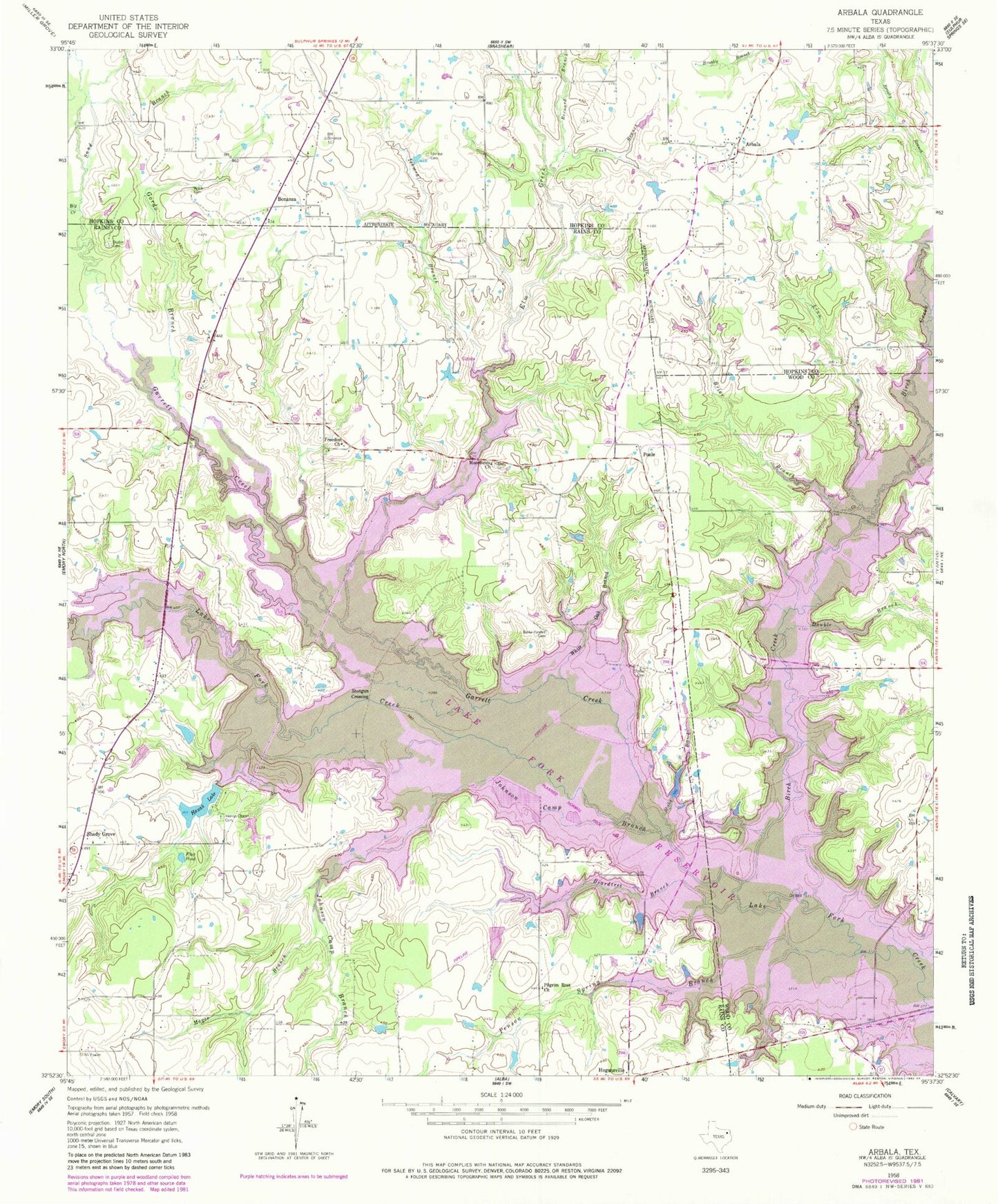
Classic USGS Arbala Texas 7.5'x7.5' Topo Map
Couldn't load pickup availability
Historical USGS topographic quad map of Arbala in the state of Texas. Typical map scale is 1:24,000, but may vary for certain years, if available. Print size: 24" x 27"
This quadrangle is in the following counties: Hopkins, Rains, Wood.
The map contains contour lines, roads, rivers, towns, and lakes. Printed on high-quality waterproof paper with UV fade-resistant inks, and shipped rolled.
Contains the following named places: Bernard Branch, Big Creek, Boardtree Branch, Brier Branch, Burke - Yandell Cemetery, Deaton Cemetery, Double Branch, Elm Cemetery, Elm Creek, Flag Pond, Freedom Church, Garrett Creek, Gordon Branch, Hauak Lake, Robertson-Henrys Chapel Cemetery, Ishmeal Branch, Ishmeal Cemetery, Johnson Camp Branch, Kintchloe Branch, Linn Branch, Macedonia Church, Magee Branch, Penson Spring Branch, Pilgrim Rest Church, Rock Branch, Sand Branch, Slatter Cemetery, Sticky Branch, Welch Cemetery, White Oak Branch, White Oak Branch, Birch Creek, Reddig Creek, Arbala, Bonanza, Hogansville, Poole, Shady Grove, Shotgun Crossing, Case Lake Dam, Clicks Lake Dam, Clicks Lake, Arbala Volunteer Fire and Rescue Department, John R. Armstrong Memorial Field