MyTopo
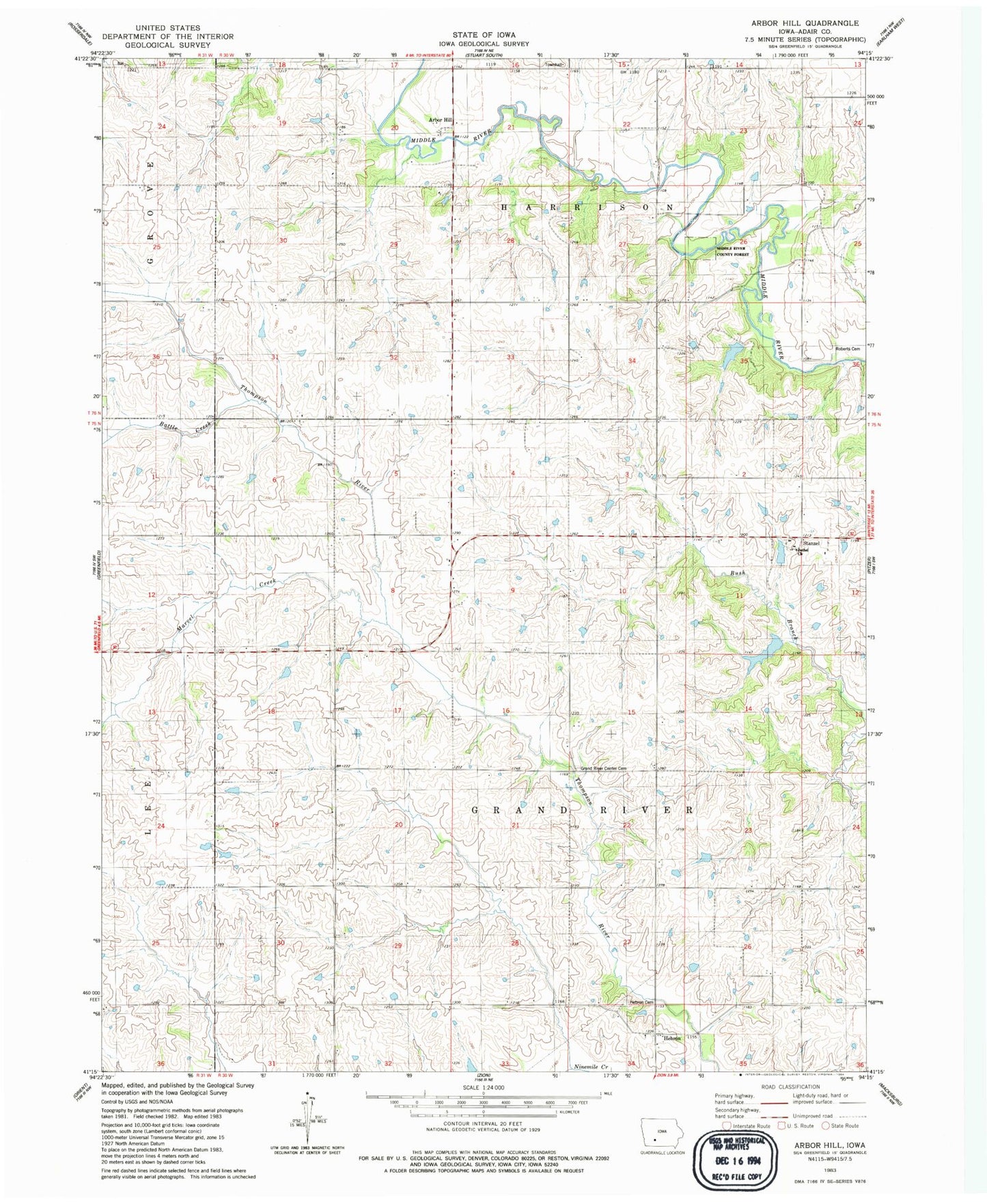
Classic USGS Arbor Hill Iowa 7.5'x7.5' Topo Map
Couldn't load pickup availability
Historical USGS topographic quad map of Arbor Hill in the state of Iowa. Map scale may vary for some years, but is generally around 1:24,000. Print size is approximately 24" x 27"
This quadrangle is in the following counties: Adair.
The map contains contour lines, roads, rivers, towns, and lakes. Printed on high-quality waterproof paper with UV fade-resistant inks, and shipped rolled.
Contains the following named places: Arbor Hill, Arbor Hill Post Office, Battle Creek, Bethel Church, Boley Farm Cemetery, Grand River Center Cemetery, Hebron, Hebron Cemetery, Hebron Post Office, Marvel Creek, Middle River County Forest, Millers Country Zoo, Nanito, Nanito Post Office, Roberts Cemetery, Stanzel, Stanzel Post Office, Township of Grand River, Township of Harrison, Wright Wildlife Area