MyTopo
Classic USGS Arbuckle Mountain Oregon 7.5'x7.5' Topo Map
Couldn't load pickup availability
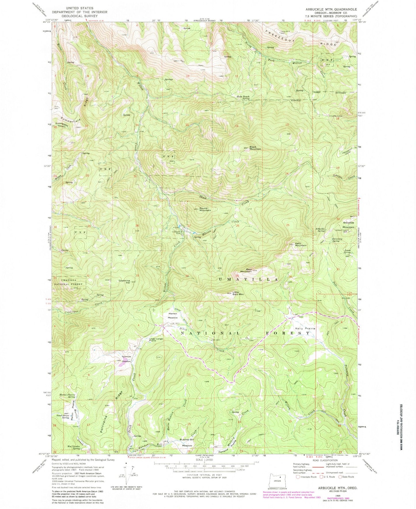
Historical USGS topographic quad map of Arbuckle Mountain in the state of Oregon. Typical map scale is 1:24,000, but may vary for certain years, if available. Print size: 24" x 27"
This quadrangle is in the following counties: Morrow.
The map contains contour lines, roads, rivers, towns, and lakes. Printed on high-quality waterproof paper with UV fade-resistant inks, and shipped rolled.
Contains the following named places: Arbuckle Corral, Arbuckle Mountain, Arbuckle Spring, Bald Mountain, Black Mountain, Blake Ranch Spring, Butcher Bill Meadow, Coalmine Hill, Cutsforth County Park, Driveway Spring, Freezeout Ridge, Herren Creek, Herren Meadow, Horse Heaven Creek, Kelly Mountain, Kelly Prairie, Linger Longer Prairie, Little Bald Mountain, Louse Spring, Martin Prairie, Martin Prairie Spring, Penland Prairie, Porcupine Ridge, Rasmuss Meadow, Round Mountain, Shaw Creek, Smith Ditch, Summerfield Ridge, Sweet Grass Spring, Wee Lambie Spring, Wilson Creek, Blakes Pond, Cutsforth Pond, Yokum Cabin, Coalmine Hill Recreation Site