MyTopo
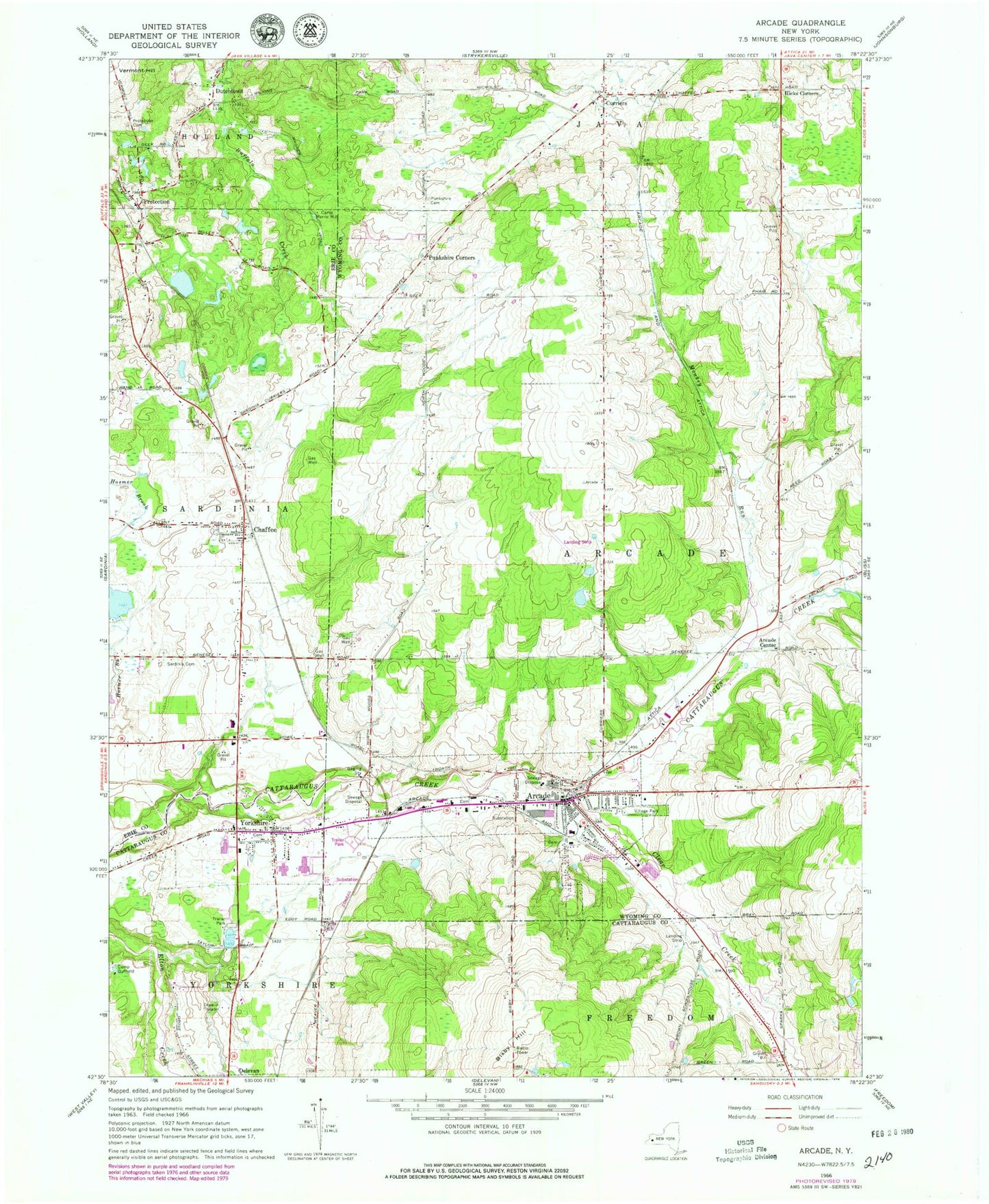
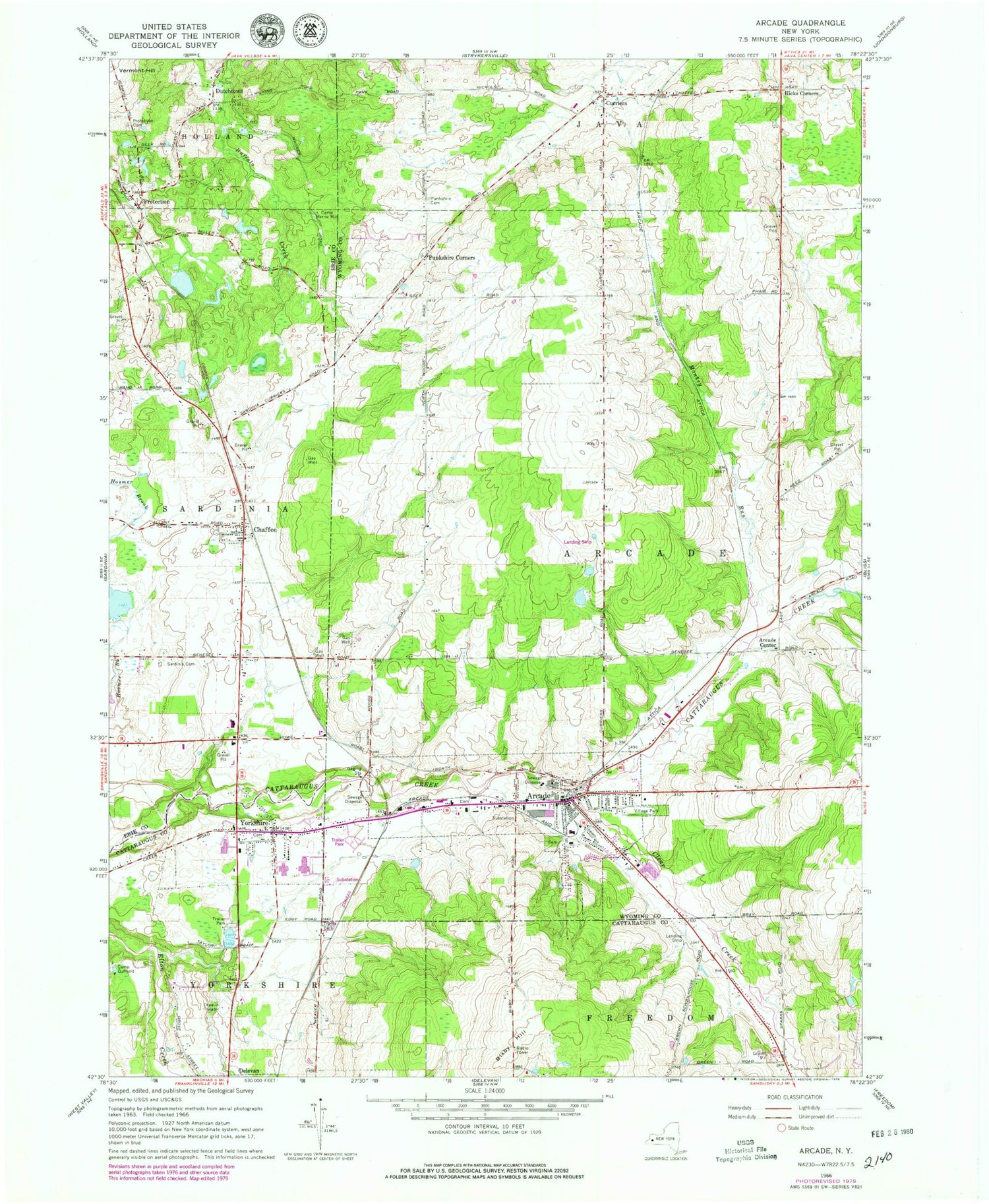
Classic USGS Arcade New York 7.5'x7.5' Topo Map
Couldn't load pickup availability
Historical USGS topographic quad map of Arcade in the state of New York. Map scale may vary for some years, but is generally around 1:24,000. Print size is approximately 24" x 27"
This quadrangle is in the following counties: Cattaraugus, Erie, Wyoming.
The map contains contour lines, roads, rivers, towns, and lakes. Printed on high-quality waterproof paper with UV fade-resistant inks, and shipped rolled.
Contains the following named places: Arcade, Arcade Center, Arcade Church of God, Arcade Elementary School, Arcade Fire Department, Arcade Free Library, Arcade Post Office, Arcade Rural Cemetery, Arcade Tri-County Airport, Arcade United Methodist Church, Arcade Valley Estates Mobile Home Park, Arcade Village Wastewater Treatment Plant, Aristo Terrace Mobile Home Park, Bixby Hill, Calvary Alliance Church, Camp Merrie Mill, Central Baptist Church, Chaffee, Chaffee Gravel Pit, Chaffee Post Office, Chaffee Sardinia Volunteer Fire Company Station 1, Clear Creek, Curriers, Curriers Rural Cemetery, Delevan Drive-In, Dutchtown, First Baptist Church of Arcade, Free Methodist Church, Hicks Corners, Hope Lutheran Church, Monkey Run, Moon Ridge Farm, Pioneer Christian Fellowship, Pioneer Estates Mobile Home Park, Pioneer Middle School, Pioneer Senior High School, Pleasant View Mobile Home Park, Protection, Protection Cemetery, Punkshire Cemetery, Punkshire Corners, Rolling Hills Golf Course, Saints Peter And Paul Cemetery, Saints Peter And Paul's Catholic Church, Sardinia Cemetery, Spruce Ridge Country Club, Strykersville Volunteer Fire Company Curriers Station, Sunny Hill Farm, The Church of Jesus Christ of Latter Day Saints, Town of Arcade, Triton Valley Estates Mobile Home Park, Turkey Run Golf Course, United Church of Christ, Village of Arcade, WYEF-FM (Yorkshire), Yorkshire, Yorkshire Cemetery, Yorkshire Census Designated Place, Yorkshire Fire Department, Yorkshire Post Office, ZIP Codes: 14009, 14173


