MyTopo
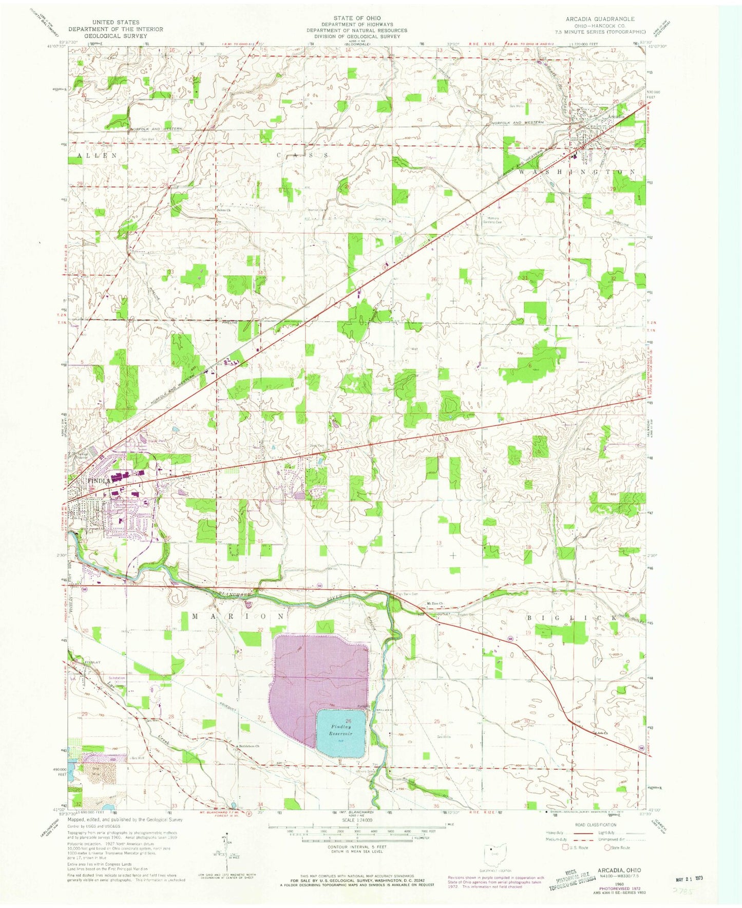
Classic USGS Arcadia Ohio 7.5'x7.5' Topo Map
Couldn't load pickup availability
Historical USGS topographic quad map of Arcadia in the state of Ohio. Map scale may vary for some years, but is generally around 1:24,000. Print size is approximately 24" x 27"
This quadrangle is in the following counties: Hancock.
The map contains contour lines, roads, rivers, towns, and lakes. Printed on high-quality waterproof paper with UV fade-resistant inks, and shipped rolled.
Contains the following named places: Alspach Cemetery, Arcadia, Arcadia Cemetery, Arcadia Elementary School, Arcadia High School, Arcadia Post Office, Ark Church, Bethlehem United Methodist Church, Brights Cemetery, Chateau East, Cunningham Farm, Davis Cemetery, Eastowne Estates, Fairview Golf Course, Findlay Fire Department Far East Fire Station 4, Findlay Reservoir, Findlay Upground Reservoir Number One Dam, Findlay Upground Reservoir Number Two, Findlay Upground Reservoir Number Two Dam, Findlay Village Mall Shopping Center, Hamlin Cemetery, Hickory Grove Cemetery, High Bank Cemetery, Market Square Shopping Center, Memory Gardens Cemetery, Mount Zion United Methodist Church, Noel Farms, Rutter Airport, Salem United Methodist Church, Sattler Farms, Smith Dairy Farm, Spahr Jersey Farm, Stautzenberger College, Township of Cass, Township of Marion, Village of Arcadia, Washington Township Fire Department, Weaver Airport, WHMQ-FM (North Baltimore), Wilson Vance Elementary School, Wineland, ZIP Code: 44804