MyTopo
Classic USGS Arcata South California 7.5'x7.5' Topo Map
Couldn't load pickup availability
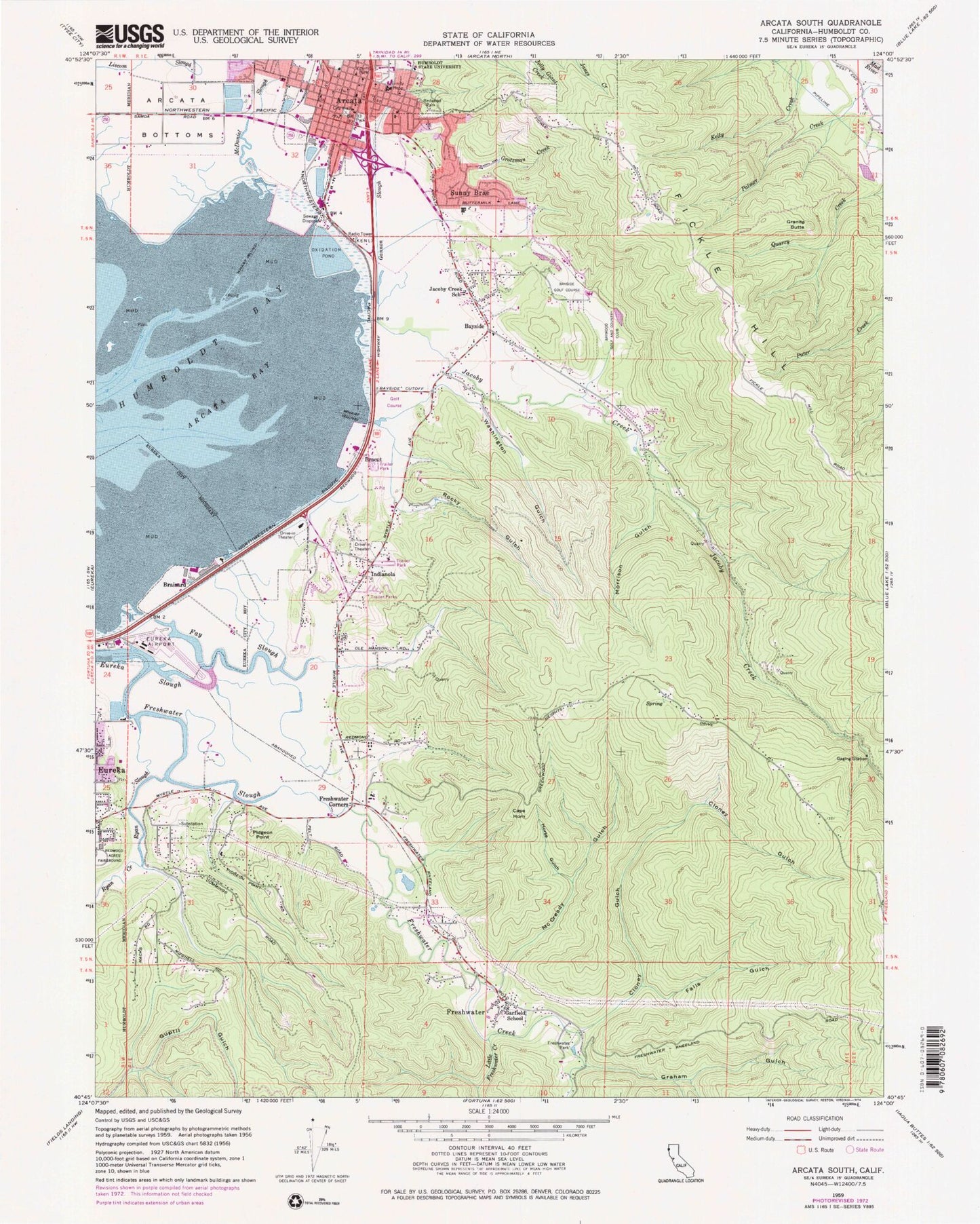
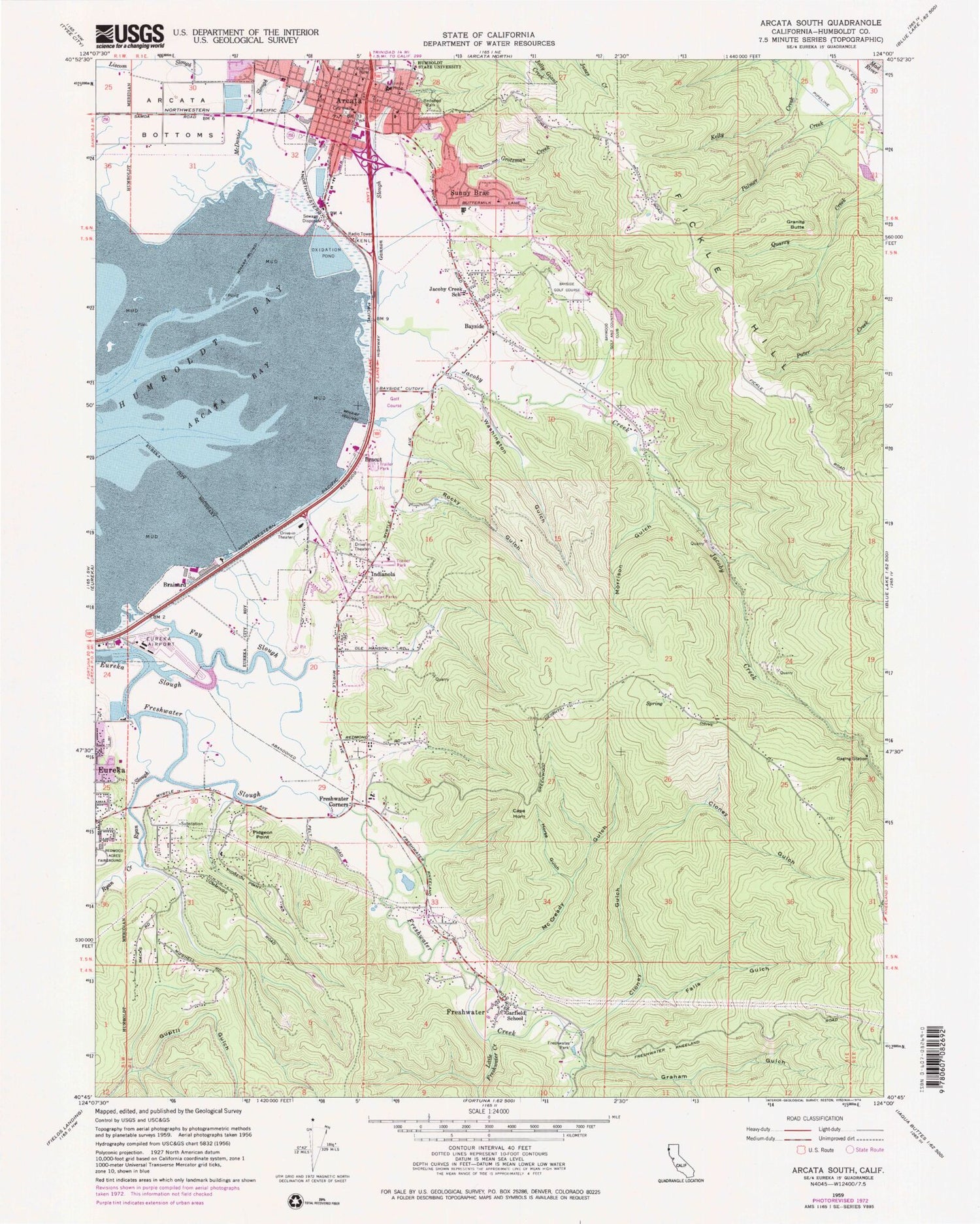
Historical USGS topographic quad map of Arcata South in the state of California. Map scale may vary for some years, but is generally around 1:24,000. Print size is approximately 24" x 27"
This quadrangle is in the following counties: Humboldt.
The map contains contour lines, roads, rivers, towns, and lakes. Printed on high-quality waterproof paper with UV fade-resistant inks, and shipped rolled.
Contains the following named places: Arcata, Arcata - Mad River Ambulance, Arcata Ball Park, Arcata City Hall, Arcata Community Recycling Center, Arcata Fire Protection District, Arcata Marsh and Wildlife Sanctuary, Arcata Marsh Interpretive Center, Arcata Plaza, Arcata Police Department, Arcata Post Office, Arcata Presbyterian Church, Arcata Sports Complex, Arcata United Methodist Church, Bayside, Bayside Bottoms, Bayside Community Presbyterian Church, Bayside Golf Course, Bayside Junction, Bayside Post Office, Bayside Public School, Baywood Golf and Country Club, Bracut, Brainard, California Highway Patrol Humboldt, Cape Horn, Cedar Springs School, Church of Christ, Church of the Nazarene, City of Arcata, Cloney Gulch, Dead Mouse Marsh, Eddyville, Falls Gulch, Fay Slough, Fickle Hill, First Baptist Church, First Church of Christ Scientist, First Church of God, First Methodist Episcopal Church, Foursquare Gospel Church, Freshwater, Freshwater Corners, Freshwater Creek, Freshwater Elementary School, Freshwater Junction, Freshwater Park, Freshwater Slough, Full Gospel Assembly Church, Gannon Slough, Garfield Elementary School, Graham Gulch, Granite Butte, Grotzman Creek, Guptil Gulch, Harry E Griffith Hall, Horse Gulch, Indianola, Indianola Census Designated Place, Jacoby Creek, Jacoby Creek Charter School, Jacoby Creek Quarry, KAHS-FM (Arcata), KATA-AM (Arcata), Kneeland Volunteer Fire Department, KTCD-AM (Eureka), Little Freshwater Creek, McCready Gulch, McDaniel Slough, Mitchell School, Morrison Gulch, Murray Field, Pidgeon Point, Redwood Park, Rocky Gulch, Ryan Creek, Ryan Slough, Saint Albans Episcopal Church, Sunny Brae, Sunny Brae Baptist Church, Sunny Brae Middle School, Sunny Brae Shopping Center, Swetman Child Development Laboratory, The Church of Jesus Christ of Latter Day Saints, The Springs, Trinity Hospital, Uniontown Plaza Shopping Center, Unitarian Elementary School, Veterans Memorial Building, Vinum Park, Washington Gulch, Worthington School Number 2, ZIP Codes: 95521, 95524


