MyTopo
Classic USGS Archer City NE Texas 7.5'x7.5' Topo Map
Couldn't load pickup availability
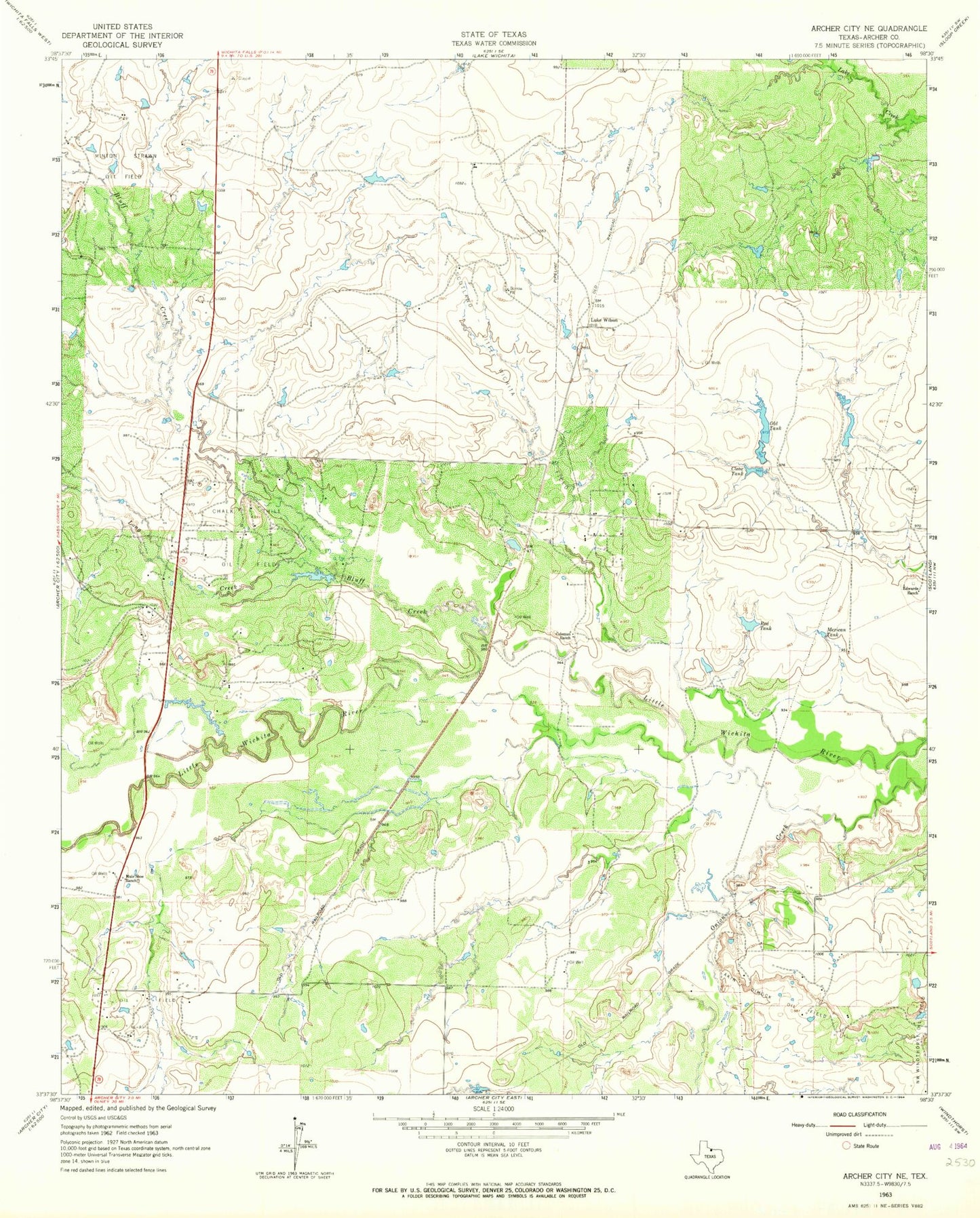
Historical USGS topographic quad map of Archer City NE in the state of Texas. Map scale may vary for some years, but is generally around 1:24,000. Print size is approximately 24" x 27"
This quadrangle is in the following counties: Archer.
The map contains contour lines, roads, rivers, towns, and lakes. Printed on high-quality waterproof paper with UV fade-resistant inks, and shipped rolled.
Contains the following named places: Akin Dimock Oil Field, Bluff Creek, Chalk Hill Oil Field, Clear Tank, Coleman Ranch, Dillards Lake, Dillards Lake Dam, Edwards Ranch, Long Creek, Luke Wilson, Mexican Tank, Minton-Strawn Oil Field, Mule Shoe Ranch, Northwest Windthorst Oil Field, Old Tank, Onion Creek, Red Tank, Scotland-Little Wichita Oil Field