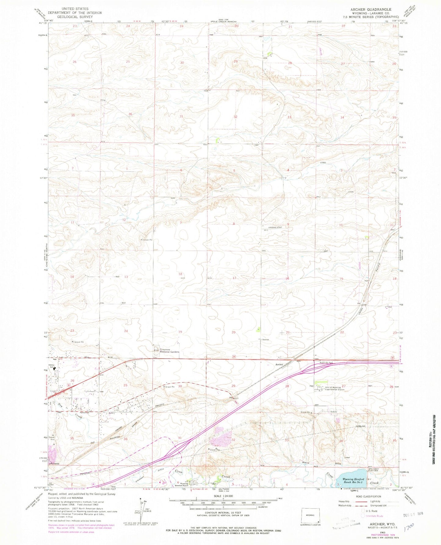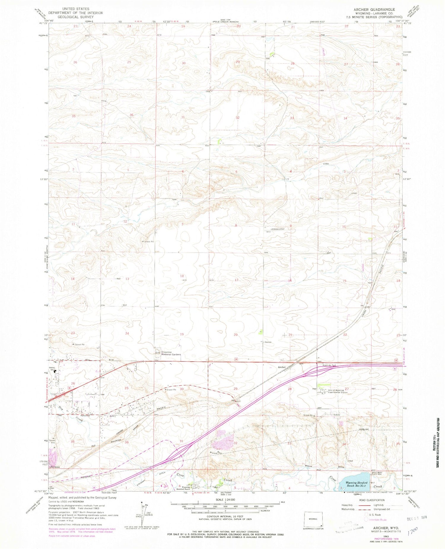
MyTopo
Classic USGS Archer Wyoming 7.5'x7.5' Topo Map
Couldn't load pickup availability
Historical USGS topographic quad map of Archer in the state of Wyoming. Map scale may vary for some years, but is generally around 1:24,000. Print size is approximately 24" x 27"
This quadrangle is in the following counties: Laramie.
The map contains contour lines, roads, rivers, towns, and lakes. Printed on high-quality waterproof paper with UV fade-resistant inks, and shipped rolled.
Contains the following named places: Archer, Bolln Ditch, Cheyenne Fire and Rescue Training Center, Cheyenne Memorial Gardens, Dildine Elementary School, Dry Creek, KSHY-AM (Cheyenne), Rocky Mountain Sand and Gravel Pit, Sloan Airport, University of Wyoming Experimental Station, Wyoming Hereford Ranch, Wyoming Hereford Ranch Reservoir Number Two