MyTopo
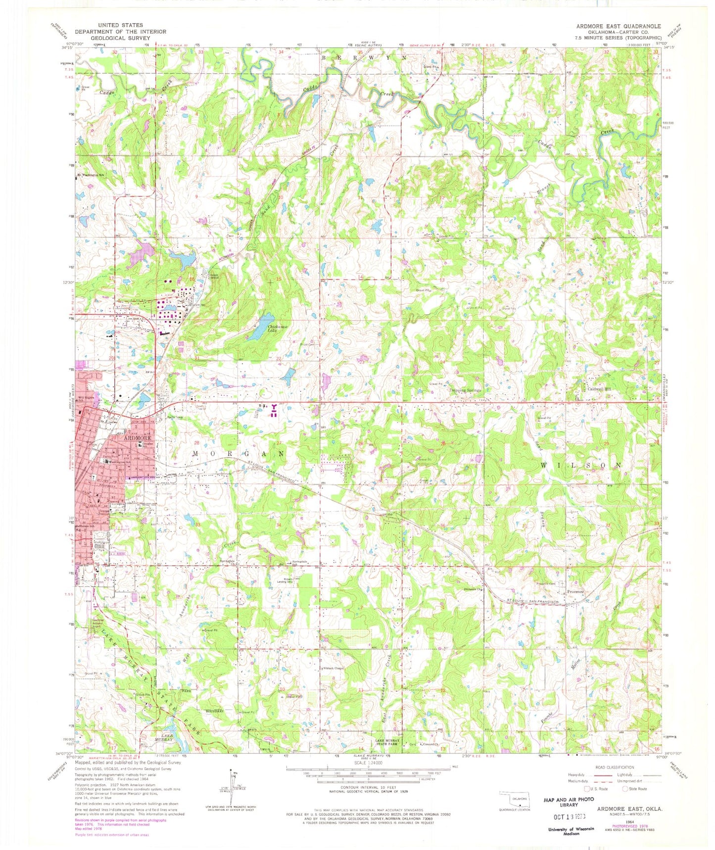
Classic USGS Ardmore East Oklahoma 7.5'x7.5' Topo Map
Couldn't load pickup availability
Historical USGS topographic quad map of Ardmore East in the state of Oklahoma. Map scale may vary for some years, but is generally around 1:24,000. Print size is approximately 24" x 27"
This quadrangle is in the following counties: Carter.
The map contains contour lines, roads, rivers, towns, and lakes. Printed on high-quality waterproof paper with UV fade-resistant inks, and shipped rolled.
Contains the following named places: Ardmore Downtown Executive Airport, Ardmore Fire Department Station 2, Bass Aero Airport, Caldwell Hill, Carter 1 Dam, Carter 1 Reservoir, Chickasaw Lake, Chickasaw Lake Dam, Church of Christ Northeast, Clearview Cemetery, Cole Cemetery, Concord Cemetery, Concord Church, Deadman Branch, Dickson Volunteer Fire Department Station 2, Douglas School, Dripping Springs, Fraley Park, Lake Murray State Park, Mckown Lake, Mckown Lake Dam, Metropolitan AME Church, Moore Pond, Moore Pond Dam, Niblack Chapel, Northeast Baptist Church, Provence, Provence Cemetery, Provence Church, Pruitt Cemetery, Roberts Airport, Sand Branch, Sand Creek, Southern Oklahoma Technology Center, Springdale Church, Springdale School, Township of Wilson, Trinity Baptist Church, Victory Temple Church of God, Washington School, West Anadarche Creek, Whittington Park, Will Rogers Elementary School, ZIP Code: 73401


