MyTopo
Classic USGS Arena New York 7.5'x7.5' Topo Map
Couldn't load pickup availability
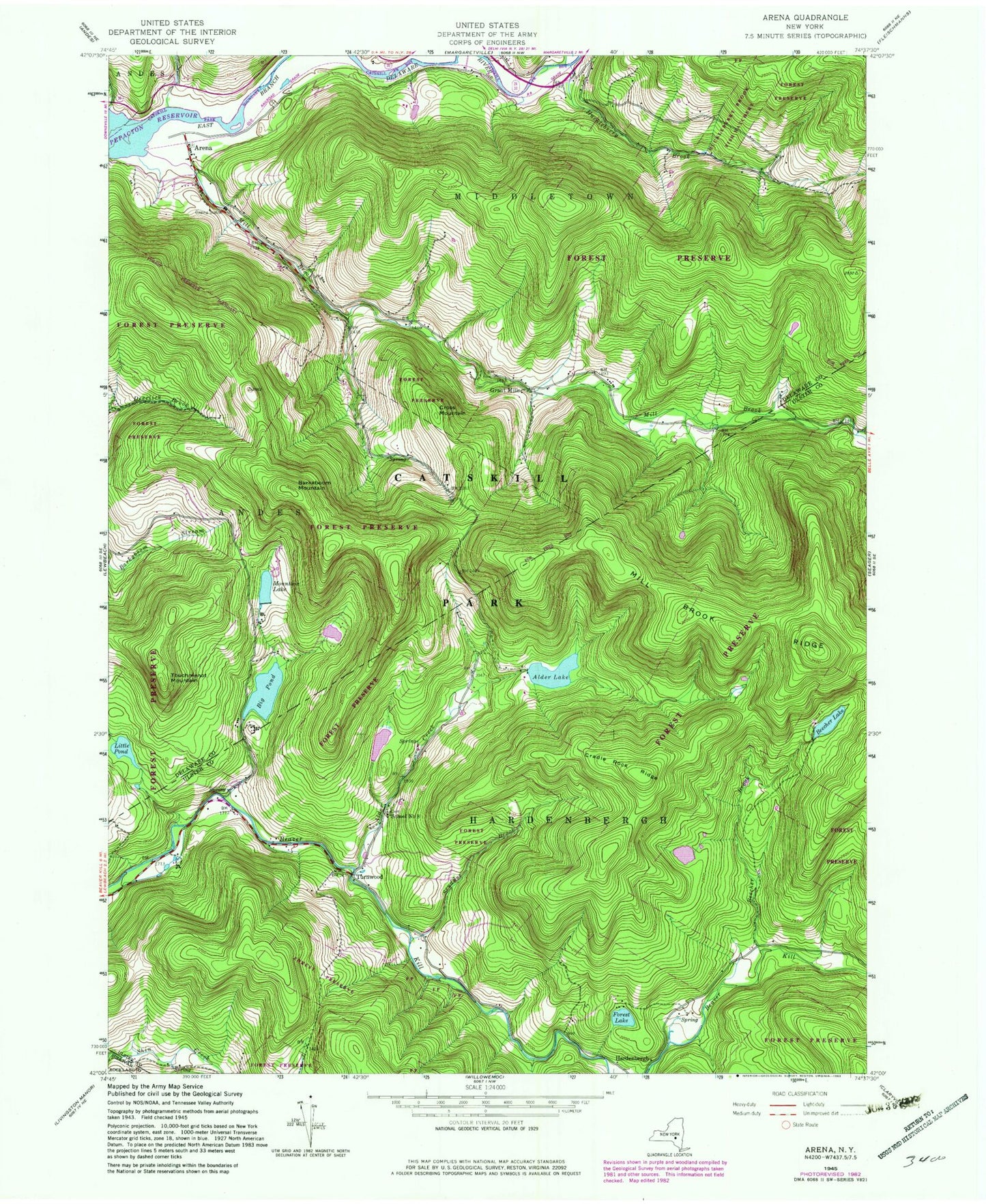
Historical USGS topographic quad map of Arena in the state of New York. Typical map scale is 1:24,000, but may vary for certain years, if available. Print size: 24" x 27"
This quadrangle is in the following counties: Delaware, Sullivan, Ulster.
The map contains contour lines, roads, rivers, towns, and lakes. Printed on high-quality waterproof paper with UV fade-resistant inks, and shipped rolled.
Contains the following named places: Alder Creek, Alder Lake, Arena, Barkaboom Mountain, Beecher Brook, Beecher Lake, Big Pond, Cold Spring Hollow, Cradle Rock Ridge, Cross Mountain, Forest Lake, Grant Mills, Little Pond, Mill Brook, Mill Brook Ridge, Mountain Lake, Old Stone School, Scudder Brook, Touchmenot Mountain, Huckleberry Brook, Hardenburg, Turnwood, School Number 8 (historical), Old Stone School (historical), Grants Mills Covered Bridge, Tuscarora Club Bridge, Advent Christian Church, Beaverkill Trout Hatchery, Banks - Eighmy Cemetery, Arena Fire Department