MyTopo
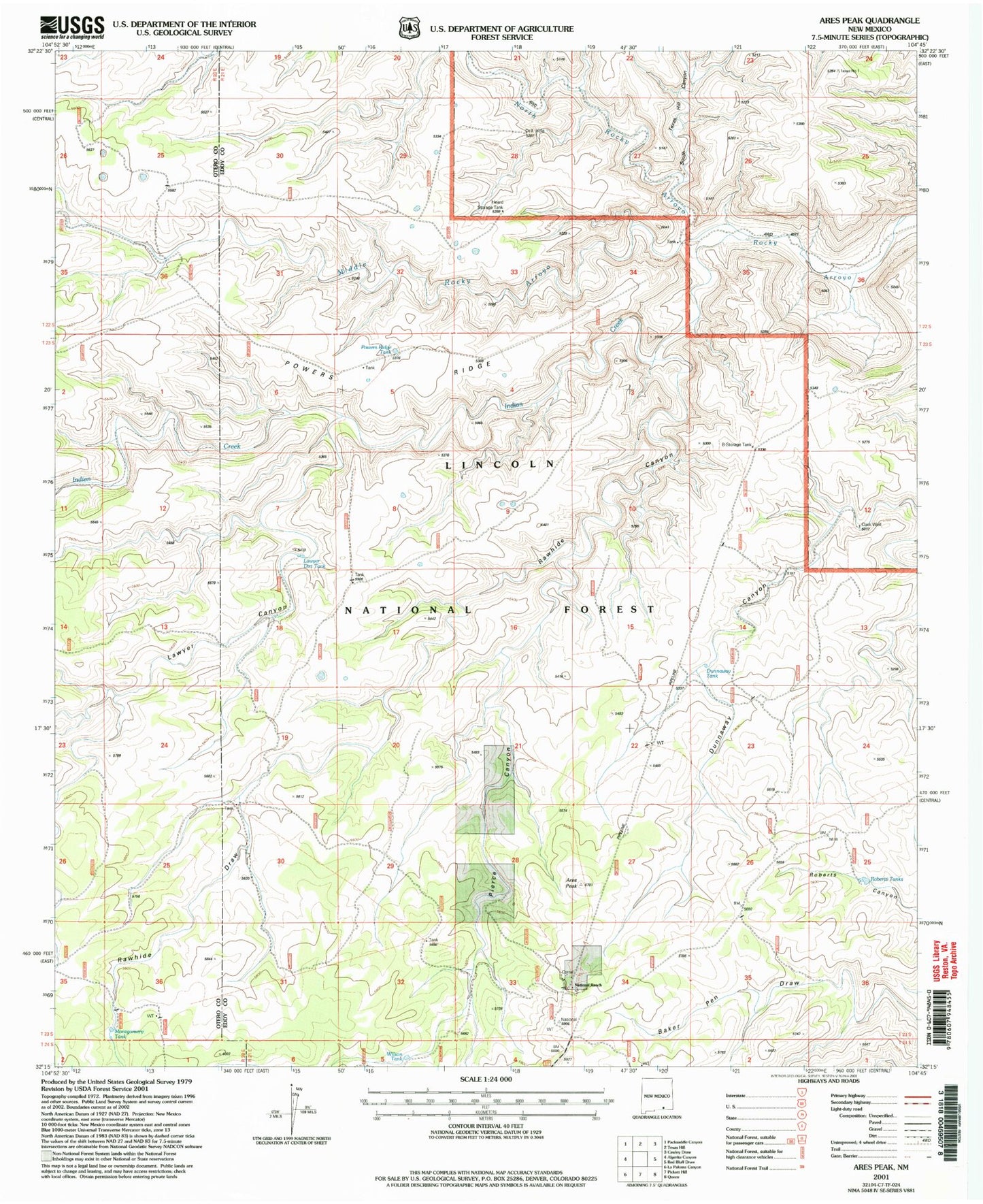
Classic USGS Ares Peak New Mexico 7.5'x7.5' Topo Map
Couldn't load pickup availability
Historical USGS topographic quad map of Ares Peak in the state of New Mexico. Map scale may vary for some years, but is generally around 1:24,000. Print size is approximately 24" x 27"
This quadrangle is in the following counties: Eddy, Otero.
The map contains contour lines, roads, rivers, towns, and lakes. Printed on high-quality waterproof paper with UV fade-resistant inks, and shipped rolled.
Contains the following named places: Acrey Water Storage Tank, Ares Peak, Black Water Storage Tank, B-Storage Tank, Clark Well, Dunnaway Tank, Foster Water Storage Tank, Guadalupe Mountains Historical Marker, Heard Storage Tank, Hearn, Indian Creek, Joyce Water Storage Tank, Lawyer Canyon, Lawyer Dirt Tank, Middle Rocky Arroyo, Montgomery Tank, Montgomery Water Storage Tank, National Ranch, North Rocky Arroyo, North Rocky Canyon, Pierce Canyon, Powers Ridge, Powers Ridge Tank, Rawhide Canyon, Rawhide Draw, Rawhide Water Storage Tank, Roberts Tanks, Sandia, South Texas Hill Canyon, Three Forks, Wilson Tank