MyTopo
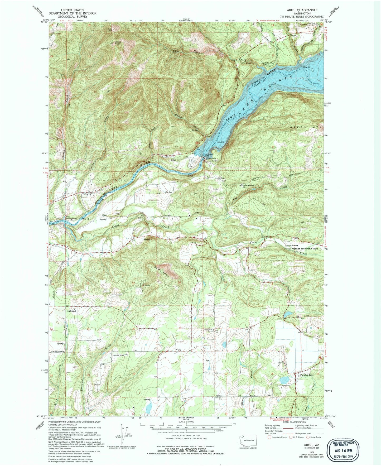
Classic USGS Ariel Washington 7.5'x7.5' Topo Map
Couldn't load pickup availability
Historical USGS topographic quad map of Ariel in the state of Washington. Map scale may vary for some years, but is generally around 1:24,000. Print size is approximately 24" x 27"
This quadrangle is in the following counties: Clark, Cowlitz.
The map contains contour lines, roads, rivers, towns, and lakes. Printed on high-quality waterproof paper with UV fade-resistant inks, and shipped rolled.
Contains the following named places: Ariel, Ariel Post Office, Bald Mountain, Cape Horn Creek, Cedar Creek, Cedar Creek State Wildlife Recreation Area, Cedarville, Clark County Fire District 10 Station 103, Clark County Fire District 10 Station 104, Clark County Fire District 10 Station 5, Colvin Creek, Colvin Creek Dam, Davis Peak, Day Creek, Dayton, Elmer Dam, Erickson Dam, Etna, Fargher Lake, Fargher Pond, Fargher Pond Dam, Green Mountain School, Hall, Highland, Husky Creek, Indian George Creek, Jim Creek, La Center Division, La Center View-Air, Lone Pine Cemetery, Marble Creek, McClellan Field, Merwin, Merwin Dam, Mountain View Cemetery, North Country Emergency Medical Services Fire Station 2, North Country Emergency Medical Services Station 2, Pup Creek, Reid Mountain, Tsugawa Brothers Reservoir, Tsugawa Brothers Reservoir Dam, View, ZIP Code: 98629