MyTopo
Classic USGS Arkdale NW Wisconsin 7.5'x7.5' Topo Map
Regular price
$16.95
Regular price
Sale price
$16.95
Unit price
per
Couldn't load pickup availability
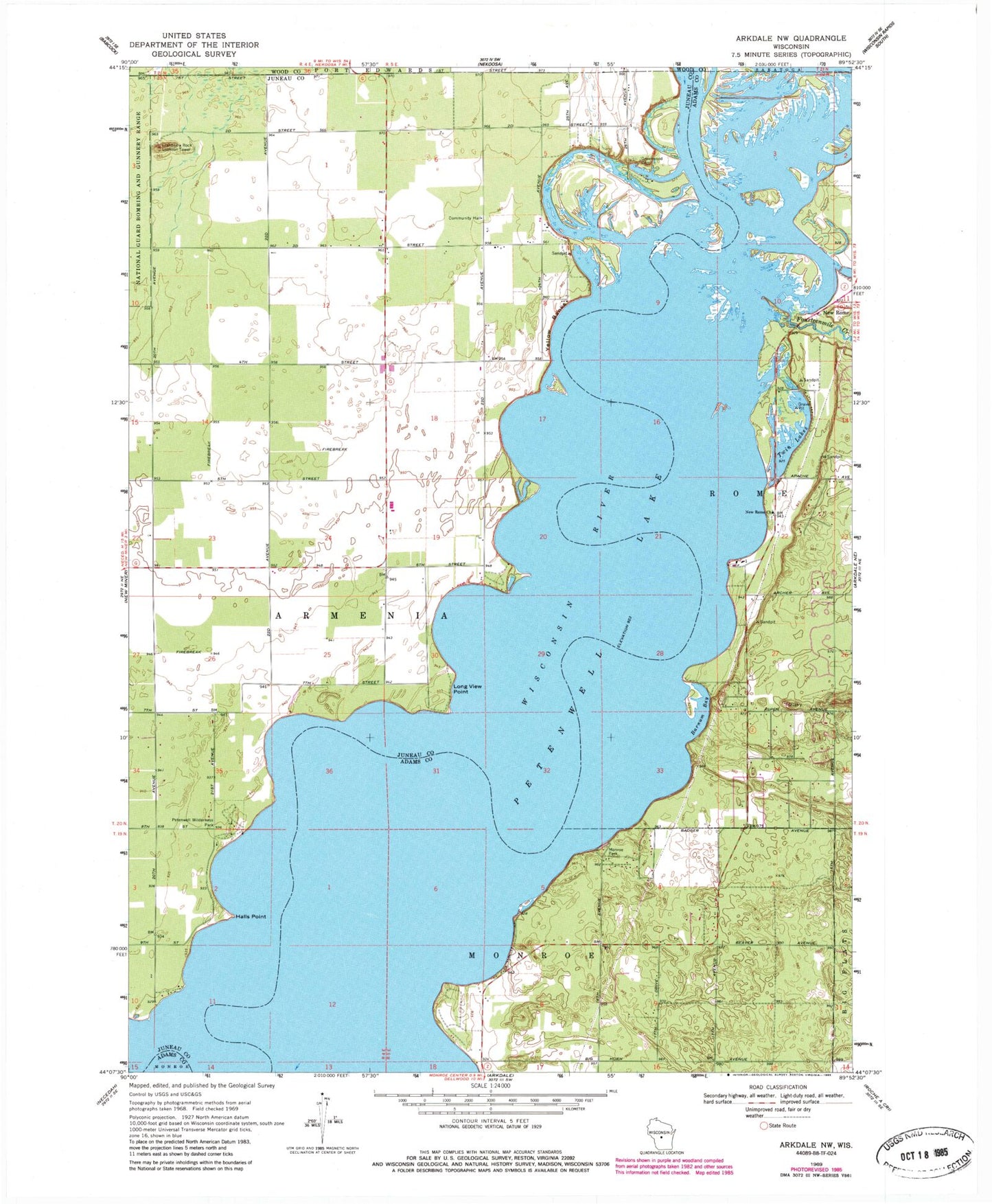
Historical USGS topographic quad map of Arkdale NW in the state of Wisconsin. Map scale may vary for some years, but is generally around 1:24,000. Print size is approximately 24" x 27"
This quadrangle is in the following counties: Adams, Juneau, Wood.
The map contains contour lines, roads, rivers, towns, and lakes. Printed on high-quality waterproof paper with UV fade-resistant inks, and shipped rolled.
Contains the following named places: Barnum Bay, Chester Creek, Cranberry Rock Lookout Tower, Fourteenmile Creek, Greenwood Cemetery, Halls Point, Monroe Park, New Rome, New Rome Church, Petenwell Lake, Petenwell Wilderness Park, Twin Lakes, Violet Lawn School, Yellow Banks, ZIP Code: 54457