MyTopo
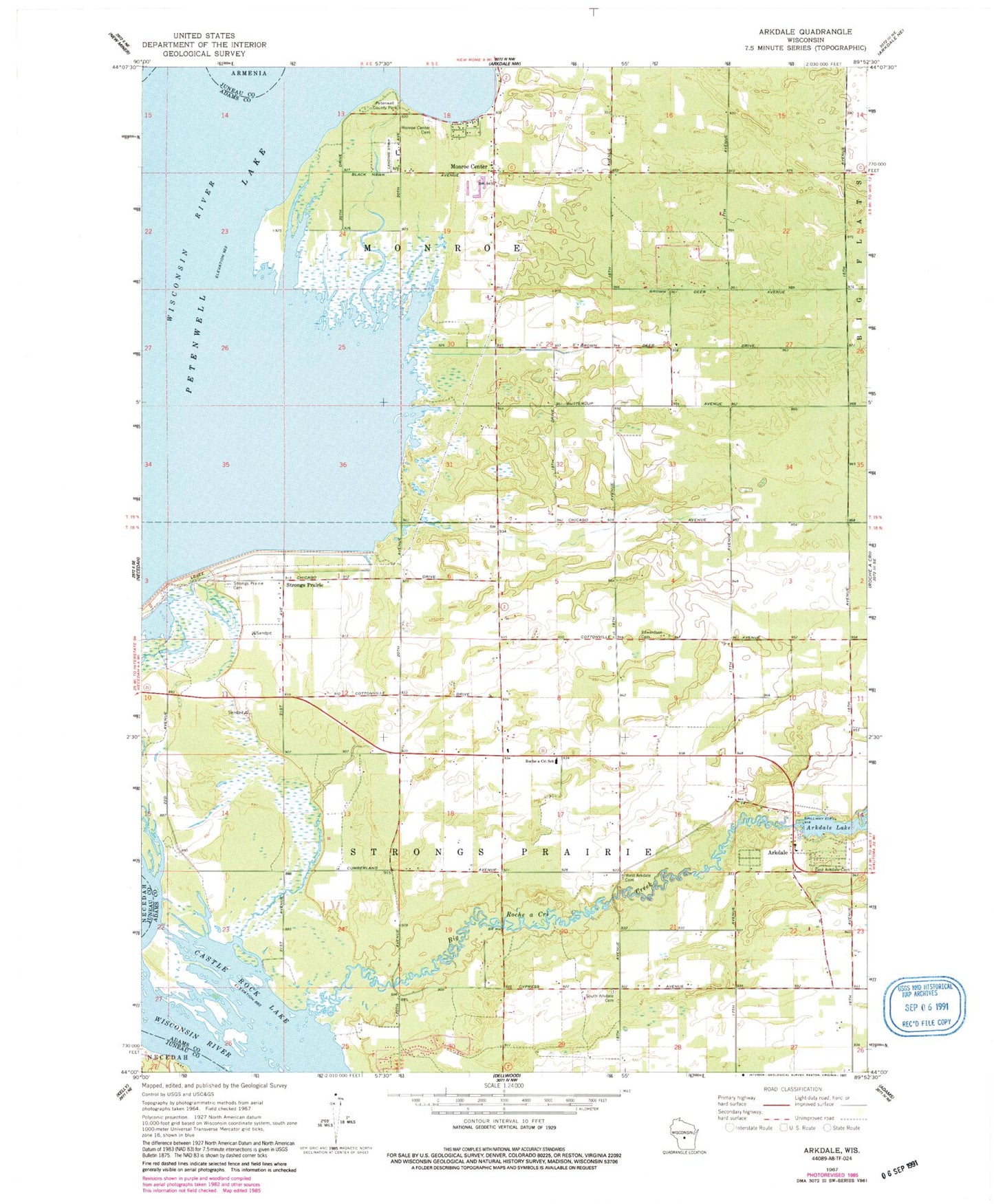
Classic USGS Arkdale Wisconsin 7.5'x7.5' Topo Map
Couldn't load pickup availability
Historical USGS topographic quad map of Arkdale in the state of Wisconsin. Map scale may vary for some years, but is generally around 1:24,000. Print size is approximately 24" x 27"
This quadrangle is in the following counties: Adams, Juneau.
The map contains contour lines, roads, rivers, towns, and lakes. Printed on high-quality waterproof paper with UV fade-resistant inks, and shipped rolled.
Contains the following named places: Arkdale, Arkdale 3WR1429 Dam, Arkdale Census Designated Place, Arkdale Lake, Arkdale Post Office, Big Roche a Cri Creek, East Arkdale Cemetery, Edwardson Cemetery, Monroe Cemetery, Monroe Center, Petenwell County Park, Roche-A-Cri Elementary School, South Arkdale Cemetery, Strongs Prairie, Strongs Prairie Cemetery, Town of Monroe, Town of Strongs Prairie, West Arkdale Cemetery, ZIP Code: 54613