MyTopo
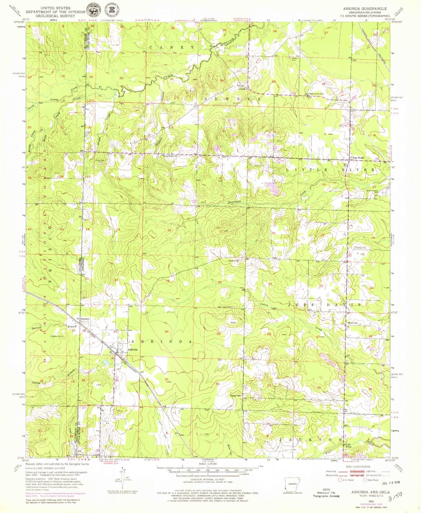
Classic USGS Arkinda Arkansas 7.5'x7.5' Topo Map
Couldn't load pickup availability
Historical USGS topographic quad map of Arkinda in the states of Arkansas, Oklahoma. Map scale may vary for some years, but is generally around 1:24,000. Print size is approximately 24" x 27"
This quadrangle is in the following counties: Little River, McCurtain.
The map contains contour lines, roads, rivers, towns, and lakes. Printed on high-quality waterproof paper with UV fade-resistant inks, and shipped rolled.
Contains the following named places: Arkinda, Campground Cemetery, Climax School, Cooper Cemetery, Cooper Creek, Cross Roads, Eastport, Eastport Cemetery, Gafford Branch, Green Cemetery, Jewell, King Rider School, King Ryder Church of Christ, Middle Caney Creek, Miller School, New Home Cemetery, North Caney Creek, Oak Grove, Oak Grove School, Piney Cemetery, South Caney Creek, Strawn Cemetery, Township of Arkinda, Township of Jeff Davis, Township of Jewell, White Oak Creek