MyTopo
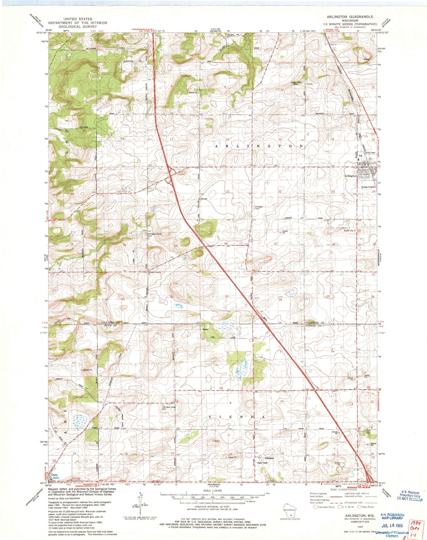
Classic USGS Arlington Wisconsin 7.5'x7.5' Topo Map
Couldn't load pickup availability
Historical USGS topographic quad map of Arlington in the state of Wisconsin. Map scale may vary for some years, but is generally around 1:24,000. Print size is approximately 24" x 27"
This quadrangle is in the following counties: Columbia, Dane.
The map contains contour lines, roads, rivers, towns, and lakes. Printed on high-quality waterproof paper with UV fade-resistant inks, and shipped rolled.
Contains the following named places: Arlington, Arlington Cemetery, Arlington Elementary School, Arlington Evangelical Cemetery, Arlington Fire Department, Arlington Post Office, Arlington Prairie Cemetery, Arlington Prairie Church, Arlington Sewage Treatment Plant, Arlington United Methodist Church, Dane Immanuel Cemetery, Dane Post Office, Eberle Ranch Airport, One Hundred Mile Grove Cemetery, Poynette Quarry, Saint Peters Lutheran Church, Town of Arlington, Town of Vienna, WIBU-AM (Poynette)