
MyTopo
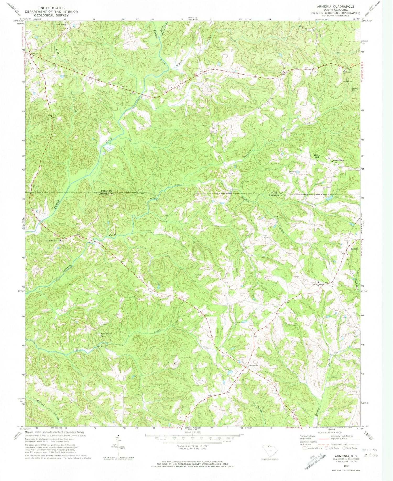
Classic USGS Armenia South Carolina 7.5'x7.5' Topo Map
Couldn't load pickup availability
Historical USGS topographic quad map of Armenia in the state of South Carolina. Map scale may vary for some years, but is generally around 1:24,000. Print size is approximately 24" x 27"
This quadrangle is in the following counties: Chester, York.
The map contains contour lines, roads, rivers, towns, and lakes. Printed on high-quality waterproof paper with UV fade-resistant inks, and shipped rolled.
Contains the following named places: Armenia, Armenia Church, Armenia School, Bethany Cemetery, Bethany School, Bethlehem Church, Blue Branch, Blue Branch Church, Bryson Creek, Bulls Hill, Calvin, Cedar Grove School, Clarkson, Cotton Hills Farms, Little Susybole Creek, Little Turkey Creek, Mount Pleasant Church, Mount Prospect Church, North Chester School, Old Providence Church, Olive School, Olivet Cemetery, Pleasant Hill Church, Pleasant Hill School, Providence School, Saint Luke Church, Stephenson Farms, Stephensons Turkey Farm, Sunny Day Farm, Unity Church, Unity School, WDZK-FM (Chester)


