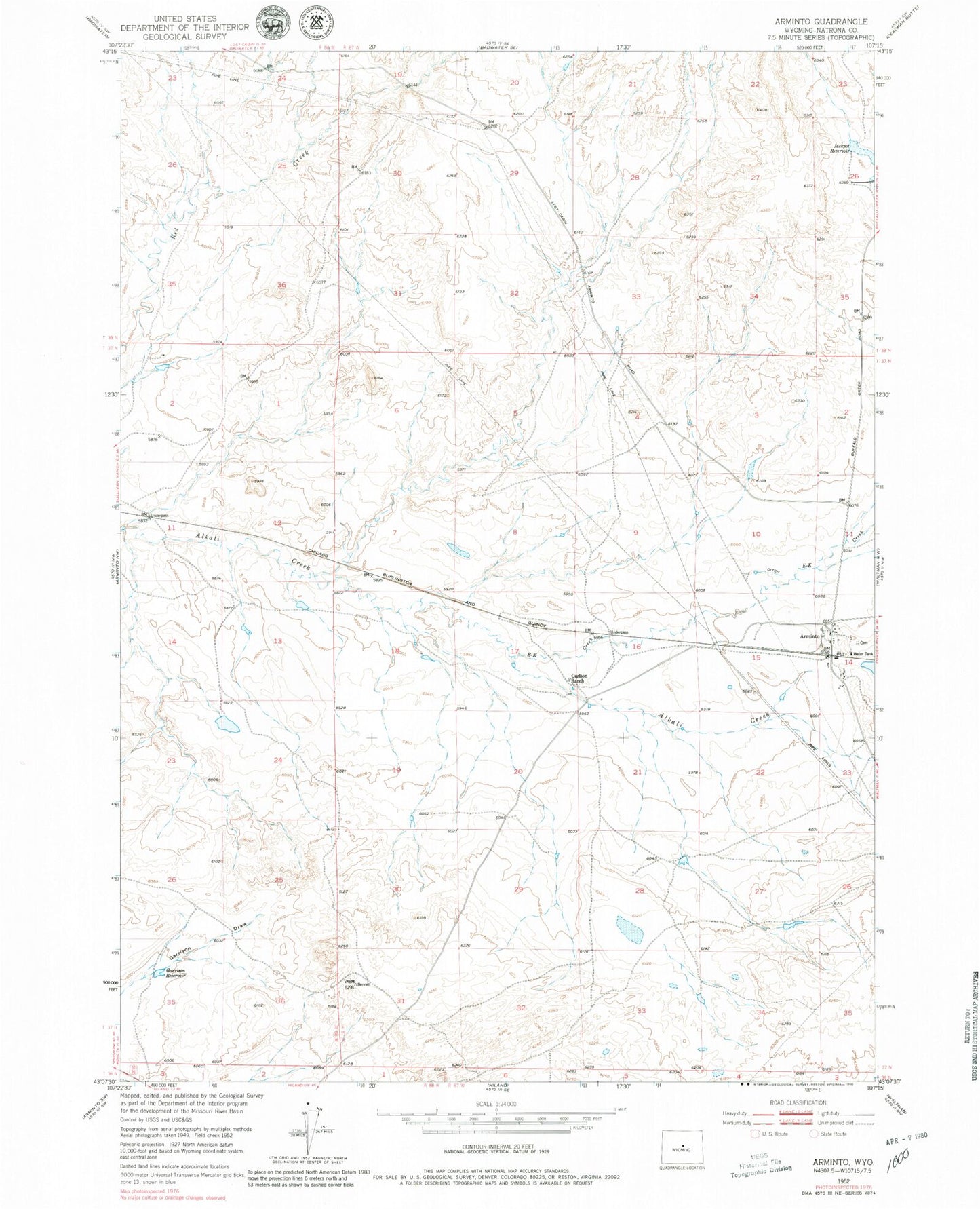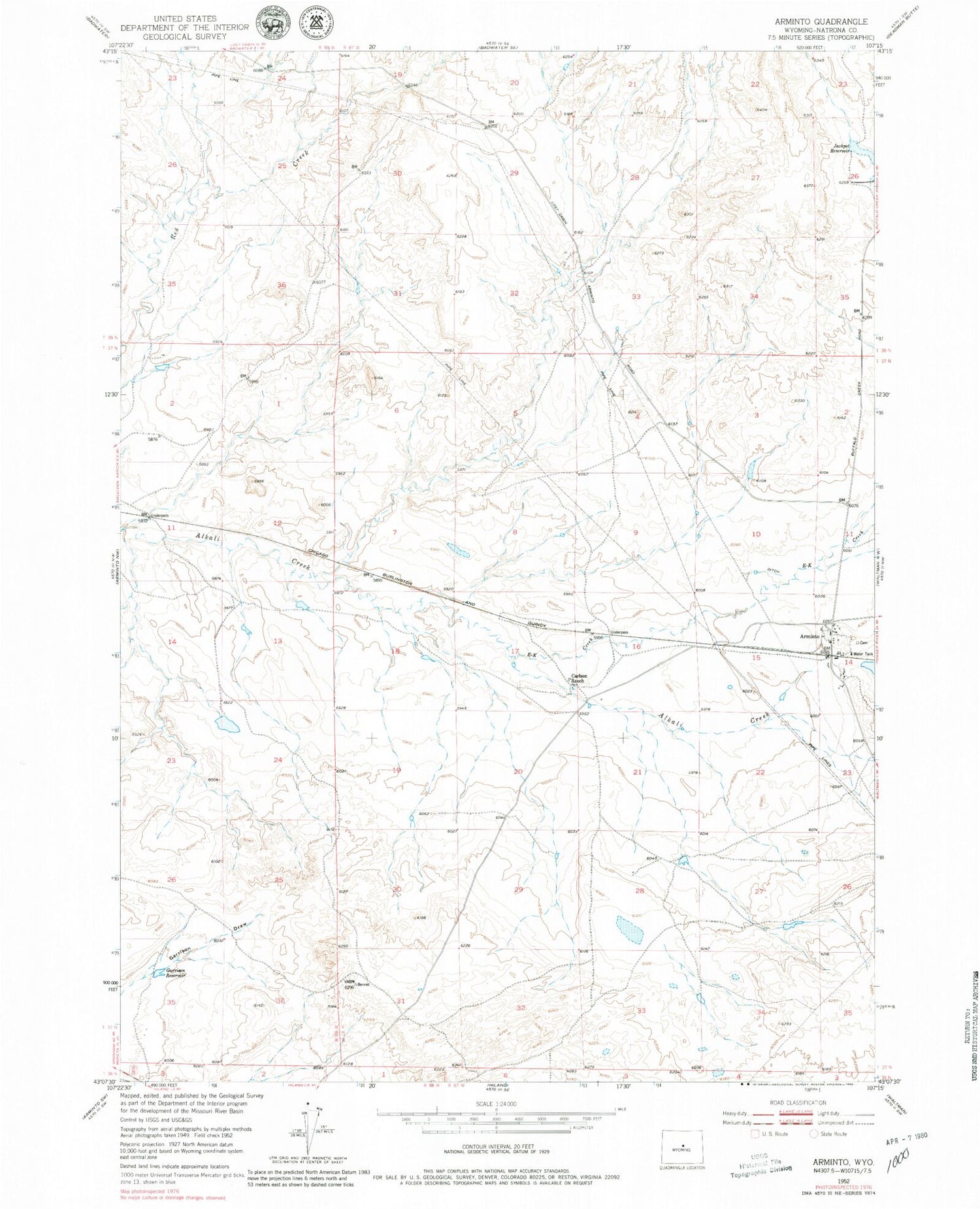
MyTopo
Classic USGS Arminto Wyoming 7.5'x7.5' Topo Map
Couldn't load pickup availability
Historical USGS topographic quad map of Arminto in the state of Wyoming. Map scale may vary for some years, but is generally around 1:24,000. Print size is approximately 24" x 27"
This quadrangle is in the following counties: Natrona.
The map contains contour lines, roads, rivers, towns, and lakes. Printed on high-quality waterproof paper with UV fade-resistant inks, and shipped rolled.
Contains the following named places: Antelope Dam, Antelope Reservoir, Arminto, Arminto Cemetery, Bad Water Creek Dam, Bad Water Creek Reservoir, Bridge Dam, Bridge Reservoir, Carlson Ranch, Charlotte Dam, Charlotte Reservoir, Donlin Dam, Donlin Reservoir, E-K Creek, Garrison Reservoir, Jackpot Reservoir, Lynx Dam, Lynx Reservoir, Red Creek Dam, Red Creek Reservoir, ZIP Code: 82630