MyTopo
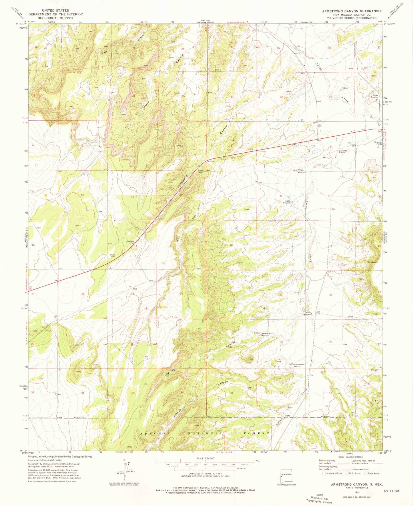
Classic USGS Armstrong Canyon New Mexico 7.5'x7.5' Topo Map
Regular price
$16.95
Regular price
Sale price
$16.95
Unit price
per
Couldn't load pickup availability
Historical USGS topographic quad map of Armstrong Canyon in the state of New Mexico. Map scale may vary for some years, but is generally around 1:24,000. Print size is approximately 24" x 27"
This quadrangle is in the following counties: Catron.
The map contains contour lines, roads, rivers, towns, and lakes. Printed on high-quality waterproof paper with UV fade-resistant inks, and shipped rolled.
Contains the following named places: Allison Windmill, Armstrong Canyon, Canon del Leon, Caudill Windmill, Cottonwood Windmill, French Canyon, Hay Canyon Well, Hollingsworth Windmill, Middle Windmill, North Tank, Quemado Airport, Quemado Census Designated Place, Rito Creek, Spring Canyon