MyTopo
Classic USGS Armstrong Iowa 7.5'x7.5' Topo Map
Couldn't load pickup availability
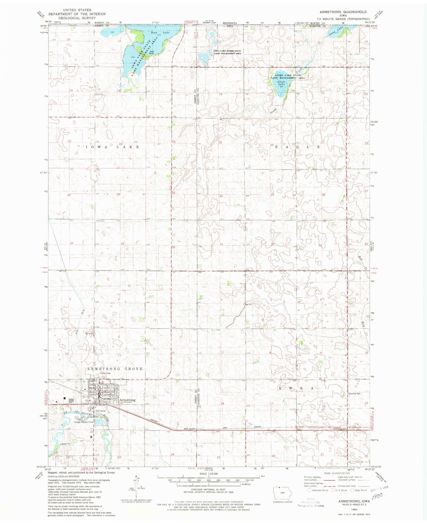
Historical USGS topographic quad map of Armstrong in the state of Iowa. Map scale may vary for some years, but is generally around 1:24,000. Print size is approximately 24" x 27"
This quadrangle is in the following counties: Emmet, Kossuth.
The map contains contour lines, roads, rivers, towns, and lakes. Printed on high-quality waterproof paper with UV fade-resistant inks, and shipped rolled.
Contains the following named places: Armstrong, Armstrong Emergency Medical Services, Armstrong Fire Department, Armstrong Medical Clinic, Armstrong Police Department, Armstrong Post Office, Armstrong Public Library, City of Armstrong, Co-operative Grain and Product Company Elevator, Country Greens Golf Course, Ditch Number 35, Eagle Lake, Free Methodist Church, Goose Lake, Goose Lake State Game Management Area, Iowa Lake, Iowa Lake Marsh State Game Management Area, Iowa Lake Post Office, Iowa Lake State Game Management Area, Nazareth Lutheran Church, North Union High School, Presbyterian Church, R T Farms, Saint Marys Catholic Church, South Creek, Swea, Swea Township Cemetery, Township of Eagle, Township of Swea, Turner Clinic, United Methodist Church, ZIP Code: 50514