MyTopo
Classic USGS Arnett SW Oklahoma 7.5'x7.5' Topo Map
Regular price
$16.95
Regular price
Sale price
$16.95
Unit price
per
Couldn't load pickup availability
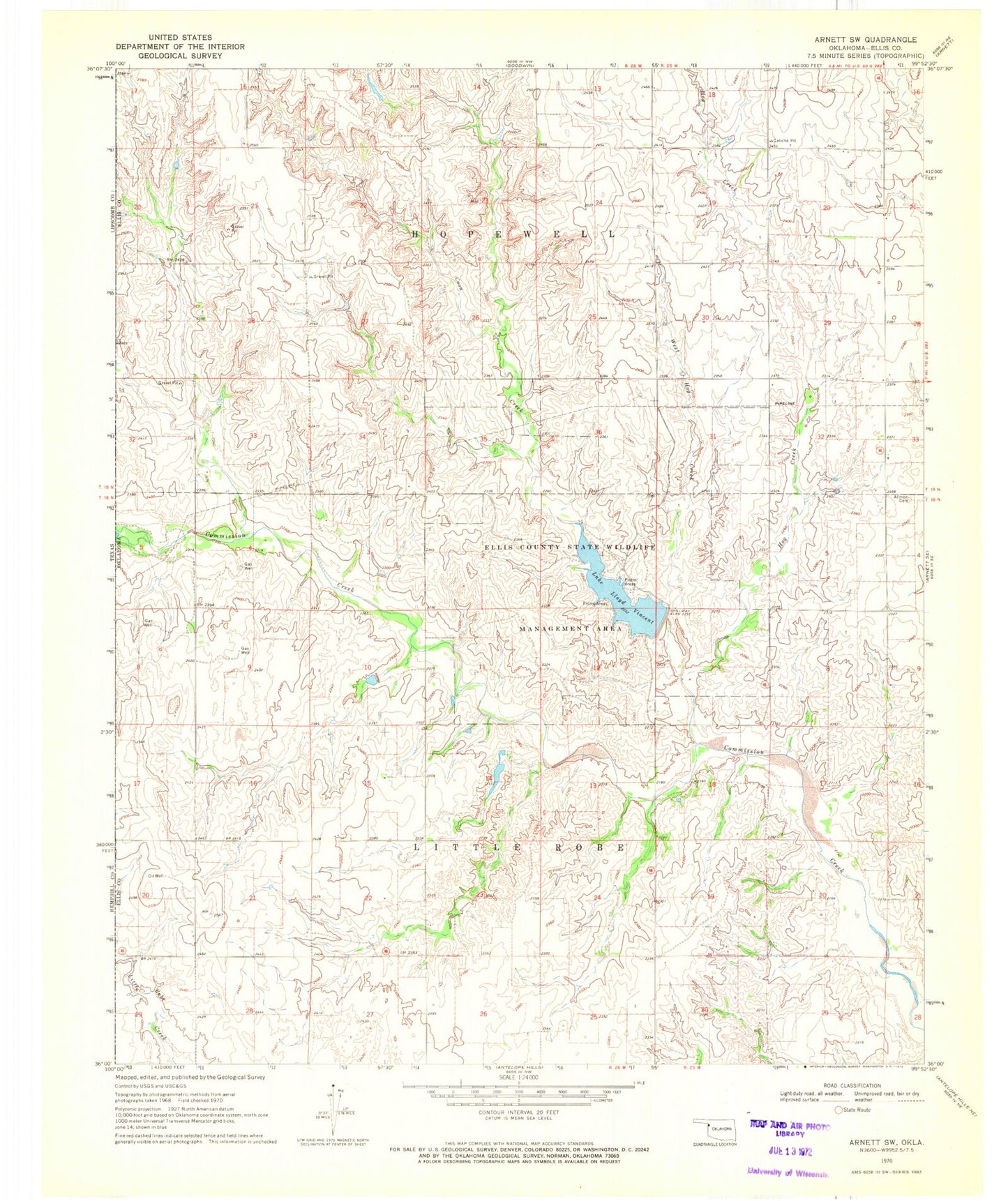
Historical USGS topographic quad map of Arnett SW in the state of Oklahoma. Map scale may vary for some years, but is generally around 1:24,000. Print size is approximately 24" x 27"
This quadrangle is in the following counties: Ellis.
The map contains contour lines, roads, rivers, towns, and lakes. Printed on high-quality waterproof paper with UV fade-resistant inks, and shipped rolled.
Contains the following named places: Allmon Cemetery, Cheyenne and Arapahoe District 1, Coon Creek, Ellis County State Wildlife Management Area, Hog Creek, Lake Lloyd Vincent, Lake Lloyd Vincent Dam, Stobough Number 1 Dam, Stobough Number 1 Reservoir, Township of Hopewell, West Hog Creek