MyTopo
Classic USGS Arnold Lake Nebraska 7.5'x7.5' Topo Map
Regular price
$16.95
Regular price
Sale price
$16.95
Unit price
per
Couldn't load pickup availability
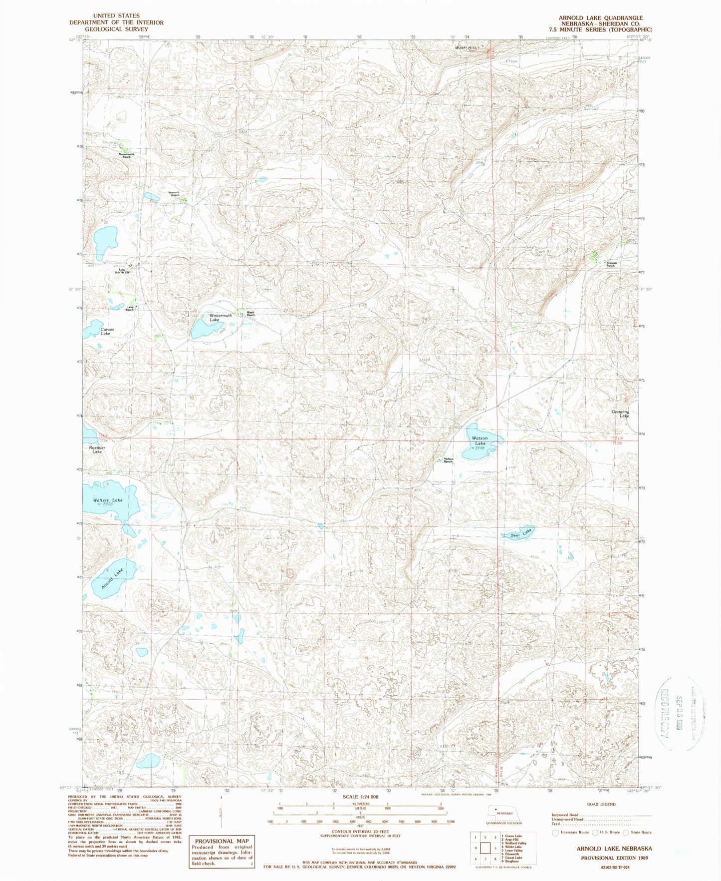
Historical USGS topographic quad map of Arnold Lake in the state of Nebraska. Map scale may vary for some years, but is generally around 1:24,000. Print size is approximately 24" x 27"
This quadrangle is in the following counties: Sheridan.
The map contains contour lines, roads, rivers, towns, and lakes. Printed on high-quality waterproof paper with UV fade-resistant inks, and shipped rolled.
Contains the following named places: Arnold Lake, Brennan Ranch, Carnes Lake, Deer Lake, Leisy Ranch, Leisy School Number 154, Messersmith Ranch, Nielson Ranch, Roethler Lake, School Number 156, Sowards Ranch, Walters Lake, Ward Ranch, Watson Lake, Wintermuth Lake, ZIP Code: 69340