MyTopo
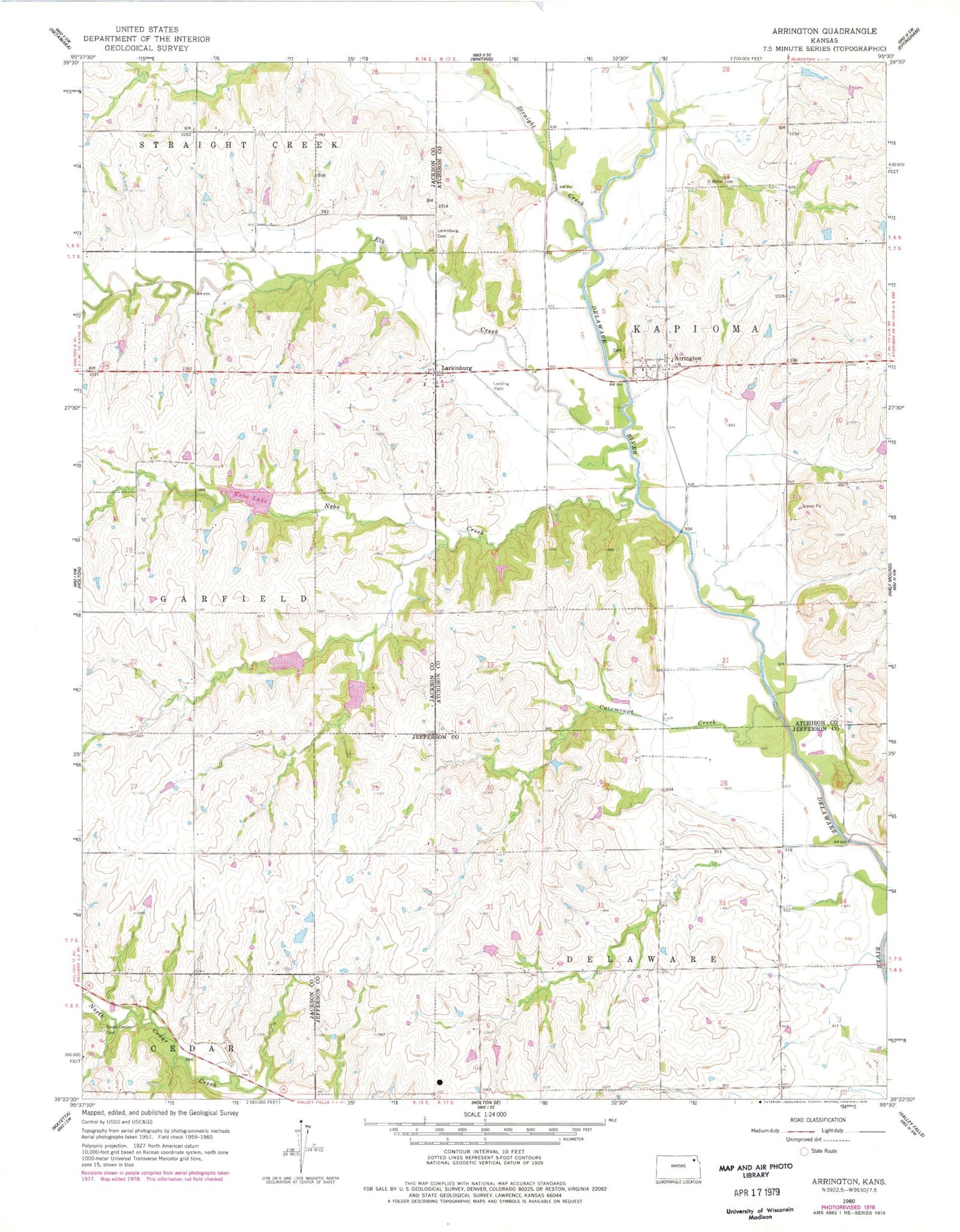
Classic USGS Arrington Kansas 7.5'x7.5' Topo Map
Couldn't load pickup availability
Historical USGS topographic quad map of Arrington in the state of Kansas. Map scale may vary for some years, but is generally around 1:24,000. Print size is approximately 24" x 27"
This quadrangle is in the following counties: Atchison, Jackson, Jefferson.
The map contains contour lines, roads, rivers, towns, and lakes. Printed on high-quality waterproof paper with UV fade-resistant inks, and shipped rolled.
Contains the following named places: Armstrong Grain Elevator Number 1, Arrington, Carbon, Carbon Post Office, Catamount Creek, Denison Municipal Wastewater Treatment Facility, Denison Municipal Wastewater Treatment Plant, Elk Creek, Larkinburg, Larkinburg Cemetery, Miller Cemetery, Nebo Creek, Nebo Lake, Nebo State Fishing Lake and Wildlife Area, South Denison Cemetery, Straight Creek, Township of Jefferson, Township of Kapioma