MyTopo
Classic USGS Arrow Rock Missouri 7.5'x7.5' Topo Map
Couldn't load pickup availability
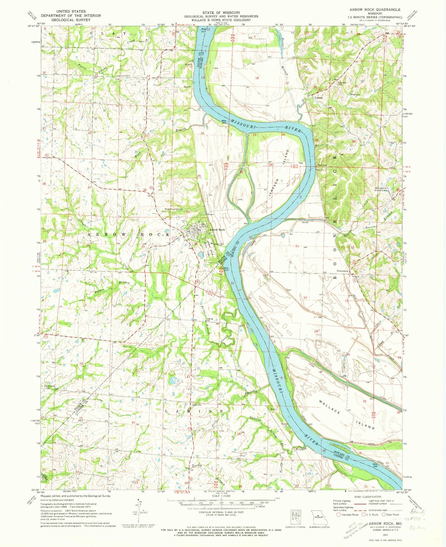
Historical USGS topographic quad map of Arrow Rock in the state of Missouri. Map scale may vary for some years, but is generally around 1:24,000. Print size is approximately 24" x 27"
This quadrangle is in the following counties: Cooper, Howard, Saline.
The map contains contour lines, roads, rivers, towns, and lakes. Printed on high-quality waterproof paper with UV fade-resistant inks, and shipped rolled.
Contains the following named places: Arrow Rock, Arrow Rock Bend, Arrow Rock Cemetery, Arrow Rock Community Volunteer Fire Department, Arrow Rock Post Office, Arrow Rock State Historic Site, Barnes Branch, Boones Branch, Boonslick State Park, Brockway Spring, Burge Branch, Buster Branch, Casey Branch, Clark Branch, Concord Church, Coopers Chapel, Coopers Chapel School, Coopers Creek, Forest Grove School, Fritz Branch, George Caleb Bingham House, Hoke Cemetery, Jameson Island, Lisbon, Oakwood School Number Two, Petersburg, Pierre Fleche Creek, Robinson Bend, Robinson Bends, Rose Hill Cemetery, Rose Hill School, Salem Church, Saline City Bend, Salt Creek, Salt Creek Bend, Slaughterhouse Bend, Slough Creek, Spring Branch, Sulphur Spring Branch, Town of Arrow Rock, Townsend Cemetery, Turley Branch, Wallace Island, Willow Grove School, Wood Branch, ZIP Code: 65320


