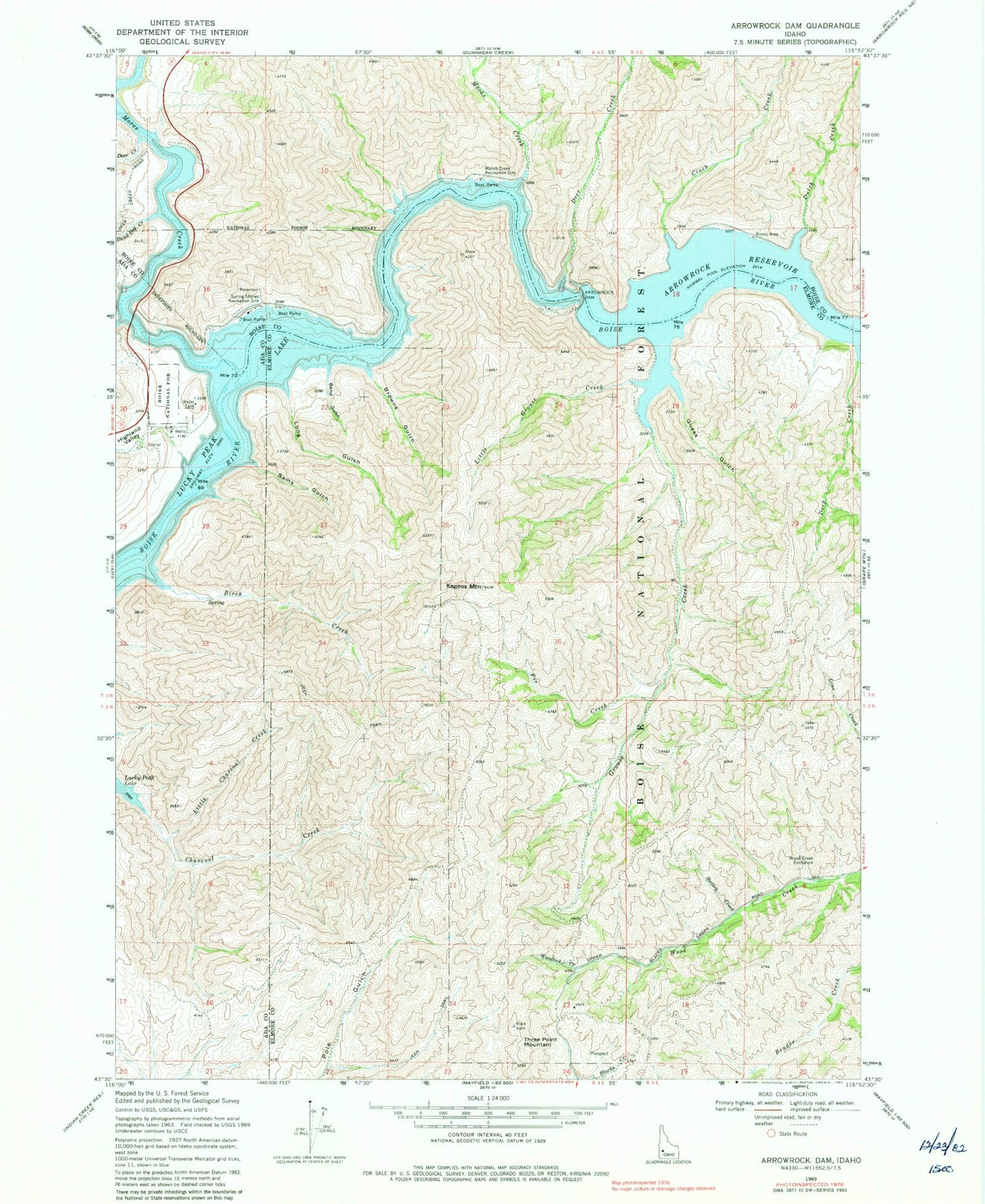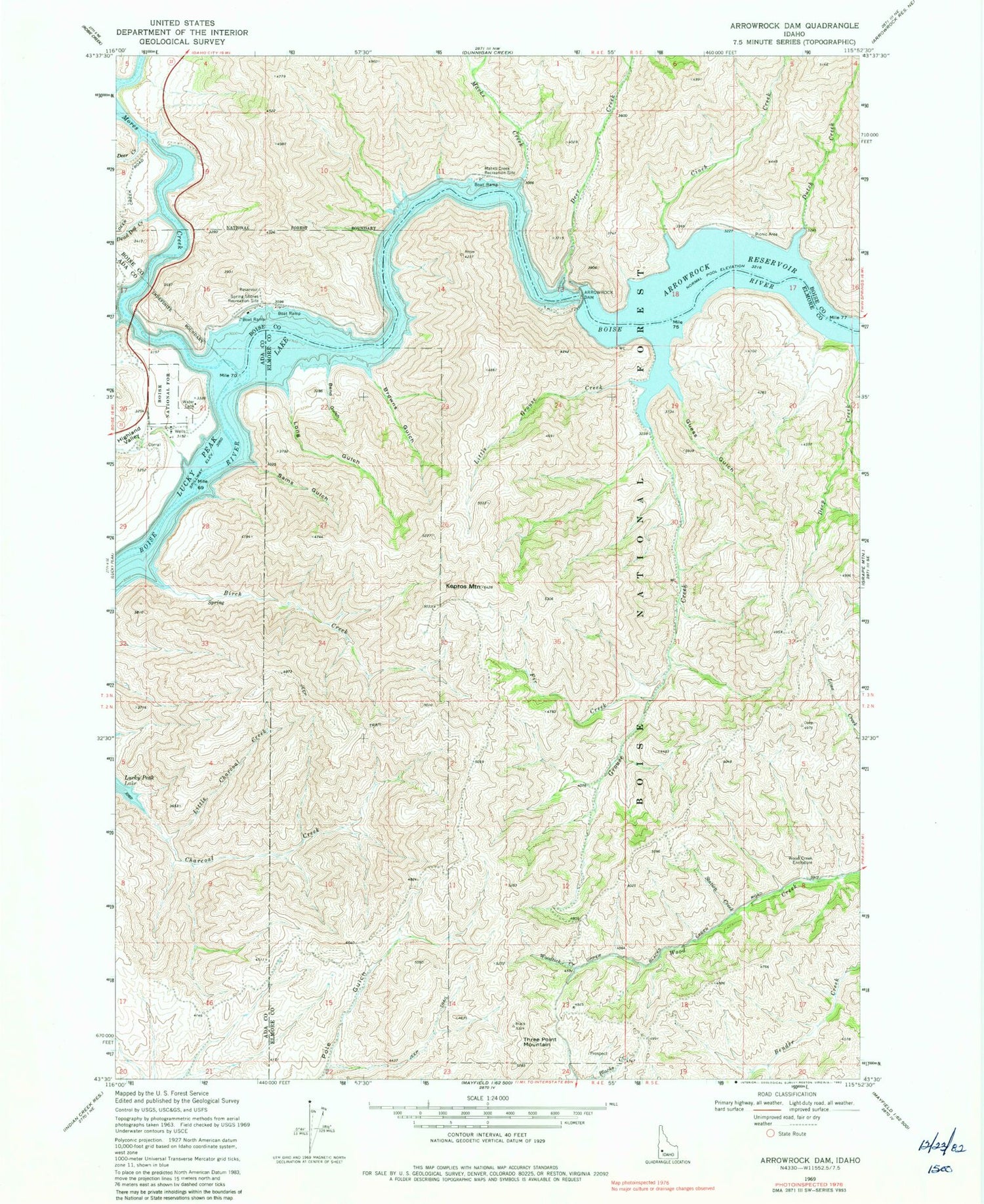
MyTopo
Classic USGS Arrowrock Dam Idaho 7.5'x7.5' Topo Map
Couldn't load pickup availability
Historical USGS topographic quad map of Arrowrock Dam in the state of Idaho. Map scale may vary for some years, but is generally around 1:24,000. Print size is approximately 24" x 27"
This quadrangle is in the following counties: Ada, Boise, Elmore.
The map contains contour lines, roads, rivers, towns, and lakes. Printed on high-quality waterproof paper with UV fade-resistant inks, and shipped rolled.
Contains the following named places: Arrow Rock Junction, Arrowrock Dam, Arrowrock Recreation Site, Bend Gulch, Birch Creek, Browns Gulch, Cervidae Peak, Cinch Creek, Dead Dog Creek, Deep Creek, Deer Creek, Dutch Creek, Fir Creek, Grouse Creek, Guess Gulch, Highland Valley, Kepros Mountain, Little Charcoal Creek, Little Grouse Creek, Long Gulch, Lucky Peak Forest Nursery, Lucky Peak Lake, Macks Creek, Macks Creek Recreation Site, Mores Creek, Sams Gulch, Station Creek, Three Point Mountain, Woodtick Creek, ZIP Code: 83716