MyTopo
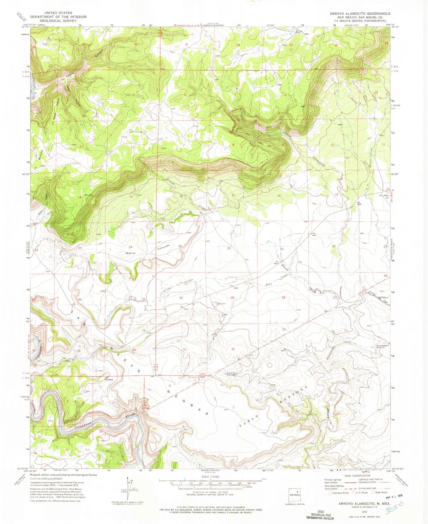
Classic USGS Arroyo Alamocito New Mexico 7.5'x7.5' Topo Map
Couldn't load pickup availability
Historical USGS topographic quad map of Arroyo Alamocito in the state of New Mexico. Map scale may vary for some years, but is generally around 1:24,000. Print size is approximately 24" x 27"
This quadrangle is in the following counties: San Miguel.
The map contains contour lines, roads, rivers, towns, and lakes. Printed on high-quality waterproof paper with UV fade-resistant inks, and shipped rolled.
Contains the following named places: Arroyo del Gato, Arroyo Salitre, Black Mesa Windmill, Cabra Canyon, Canon Cordava, Eggert, El Villa Claim, Frank Creek, La Botella Chiquita, La Cinta Ranch, Las Mesas Negras, Laumbach, Los Venados, Lujan, Lujan Ranch West, Mesita Colorado, Ross Creek, Sixty Gallon Windmill, TV Creek, Waggoner